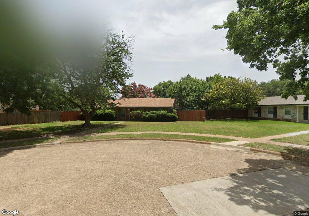
2013 Cap Rock Cir Richardson, TX 75080
Canyon Creek NeighborhoodEstimated Value: $430,000 - $474,951
3
Beds
2
Baths
1,482
Sq Ft
$310/Sq Ft
Est. Value
About This Home
This home is located at 2013 Cap Rock Cir, Richardson, TX 75080 and is currently estimated at $459,738, approximately $310 per square foot. 2013 Cap Rock Cir is a home located in Dallas County with nearby schools including Prairie Creek Elementary School, Richardson North Junior High School, and North Dallas Adventist Academy.
Ownership History
Date
Name
Owned For
Owner Type
Purchase Details
Closed on
Feb 5, 2010
Sold by
Patterson Derryl and Patterson Julie
Bought by
Faye Willis Designs Inc
Current Estimated Value
Purchase Details
Closed on
Sep 30, 2005
Sold by
Knighten Katherine W
Bought by
Patterson Derryl and Patterson Julie
Home Financials for this Owner
Home Financials are based on the most recent Mortgage that was taken out on this home.
Original Mortgage
$102,000
Interest Rate
7.4%
Mortgage Type
Fannie Mae Freddie Mac
Create a Home Valuation Report for This Property
The Home Valuation Report is an in-depth analysis detailing your home's value as well as a comparison with similar homes in the area
Home Values in the Area
Average Home Value in this Area
Purchase History
| Date | Buyer | Sale Price | Title Company |
|---|---|---|---|
| Faye Willis Designs Inc | -- | Hftc | |
| Patterson Derryl | -- | Rtt |
Source: Public Records
Mortgage History
| Date | Status | Borrower | Loan Amount |
|---|---|---|---|
| Previous Owner | Patterson Derryl | $102,000 |
Source: Public Records
Tax History Compared to Growth
Tax History
| Year | Tax Paid | Tax Assessment Tax Assessment Total Assessment is a certain percentage of the fair market value that is determined by local assessors to be the total taxable value of land and additions on the property. | Land | Improvement |
|---|---|---|---|---|
| 2025 | $9,747 | $495,640 | $342,000 | $153,640 |
| 2024 | $9,747 | $447,000 | $330,000 | $117,000 |
| 2023 | $9,747 | $385,600 | $282,000 | $103,600 |
| 2022 | $9,631 | $393,870 | $282,000 | $111,870 |
| 2021 | $7,815 | $298,000 | $180,000 | $118,000 |
| 2020 | $8,076 | $302,520 | $180,000 | $122,520 |
| 2019 | $6,668 | $238,000 | $75,000 | $163,000 |
| 2018 | $5,856 | $219,160 | $75,000 | $144,160 |
| 2017 | $3,046 | $219,160 | $75,000 | $144,160 |
| 2016 | $5,239 | $196,240 | $75,000 | $121,240 |
| 2015 | $4,271 | $161,830 | $36,000 | $125,830 |
| 2014 | $4,271 | $161,830 | $36,000 | $125,830 |
Source: Public Records
Map
Nearby Homes
- 404 Provincetown Ln
- 1909 Sagebrush Trail
- 505 Copper Ridge Dr
- 410 Bedford Dr
- 1917 Provincetown Ln
- 416 Cambridge Dr
- 2208 Ridge Crest Dr
- 401 Crestover Cir
- 501 Cambridge Dr
- 513 Lawnmeadow Dr
- 514 Worcester Way
- 537 Sage Valley Dr
- 509 Worcester Way
- 20 Shady Cove
- 441 Salem Dr
- 507 Salem Dr
- 2202 Shady Creek Dr
- 431 Malden Dr
- 336 Melrose Dr Unit 23C
- 336 Melrose Dr Unit 19D
- 2011 Cap Rock Cir
- 2015 Cap Rock Cir
- 2009 Cap Rock Dr
- 426 Sandy Trail
- 424 Sandy Trail
- 428 Sandy Trail
- 2017 Cap Rock Cir
- 422 Sandy Trail
- 430 Sandy Trail
- 420 Sandy Trail
- 2019 Cap Rock Cir
- 2021 Cap Rock Cir
- 2008 Sandy Trail
- 2016 Cap Rock Dr
- 2010 Sandy Trail
- 2014 Cap Rock Dr
- 432 Sandy Trail
- 2006 Sandy Trail
- 2018 Cap Rock Dr
- 2012 Cap Rock Dr