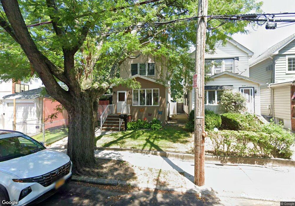
2013 Coleman St Brooklyn, NY 11234
Marine Park NeighborhoodEstimated Value: $767,475 - $886,000
--
Bed
--
Bath
1,332
Sq Ft
$627/Sq Ft
Est. Value
About This Home
This home is located at 2013 Coleman St, Brooklyn, NY 11234 and is currently estimated at $835,619, approximately $627 per square foot. 2013 Coleman St is a home located in Kings County with nearby schools including Ps 207 Elizabeth G Leary, J.H.S. 278 Marine Park, and James Madison High School.
Ownership History
Date
Name
Owned For
Owner Type
Purchase Details
Closed on
Sep 28, 1998
Sold by
Leary Susan
Bought by
Lundy Joseph F and Lundy Nancy E
Current Estimated Value
Home Financials for this Owner
Home Financials are based on the most recent Mortgage that was taken out on this home.
Original Mortgage
$148,000
Interest Rate
6.8%
Purchase Details
Closed on
Jan 20, 1995
Sold by
Polley Beatrice
Bought by
Leary Susan
Create a Home Valuation Report for This Property
The Home Valuation Report is an in-depth analysis detailing your home's value as well as a comparison with similar homes in the area
Home Values in the Area
Average Home Value in this Area
Purchase History
| Date | Buyer | Sale Price | Title Company |
|---|---|---|---|
| Lundy Joseph F | $185,000 | -- | |
| Leary Susan | -- | First American Title Ins Co |
Source: Public Records
Mortgage History
| Date | Status | Borrower | Loan Amount |
|---|---|---|---|
| Previous Owner | Lundy Joseph F | $148,000 |
Source: Public Records
Tax History Compared to Growth
Tax History
| Year | Tax Paid | Tax Assessment Tax Assessment Total Assessment is a certain percentage of the fair market value that is determined by local assessors to be the total taxable value of land and additions on the property. | Land | Improvement |
|---|---|---|---|---|
| 2025 | $5,936 | $51,240 | $13,560 | $37,680 |
| 2024 | $5,936 | $51,540 | $13,560 | $37,980 |
| 2023 | $5,653 | $56,100 | $13,560 | $42,540 |
| 2022 | $5,292 | $48,300 | $13,560 | $34,740 |
| 2021 | $5,585 | $46,620 | $13,560 | $33,060 |
| 2020 | $4,189 | $45,660 | $13,560 | $32,100 |
| 2019 | $5,103 | $39,900 | $13,560 | $26,340 |
| 2018 | $4,669 | $24,364 | $9,885 | $14,479 |
| 2017 | $4,448 | $23,288 | $9,250 | $14,038 |
| 2016 | $4,346 | $23,288 | $10,082 | $13,206 |
| 2015 | $2,430 | $22,767 | $11,591 | $11,176 |
| 2014 | $2,430 | $21,496 | $9,302 | $12,194 |
Source: Public Records
Map
Nearby Homes
- 4104 Avenue S
- 4016 Avenue S
- 4209 Avenue S
- 2055 Coleman St
- 2061 Coleman St
- 2064 Coleman St
- 2068 Hendrickson St
- 2077 Kimball St
- 3821 Avenue S
- 2057 Ryder St
- 2077 Hendrickson St
- 1936 Kimball St
- 4106 Avenue T
- 1920 E 52nd St
- 1900 E 51st St
- 1906 E 52nd St
- 2121 Kimball St
- 2022 E 38th St
- 1931 E 52nd St
- 3907 Fillmore Ave
- 2017 Coleman St
- 2021 Coleman St
- 4106 Avenue S
- 4110 Avenue S
- 2023 Coleman St
- 4102 Avenue S
- 4102 Avenue S Unit Building
- 4112 Avenue S
- 4114 Avenue S
- 2014 Hendrickson St
- 4116 Avenue S
- 2016 Hendrickson St
- 2025 Coleman St
- 2020 Hendrickson St
- 4118 Avenue S
- 2022 Hendrickson St
- 4024 Avenue S
- 4122 Avenue S
- 2031 Coleman St Unit 2033
- 2031-2033 Coleman St