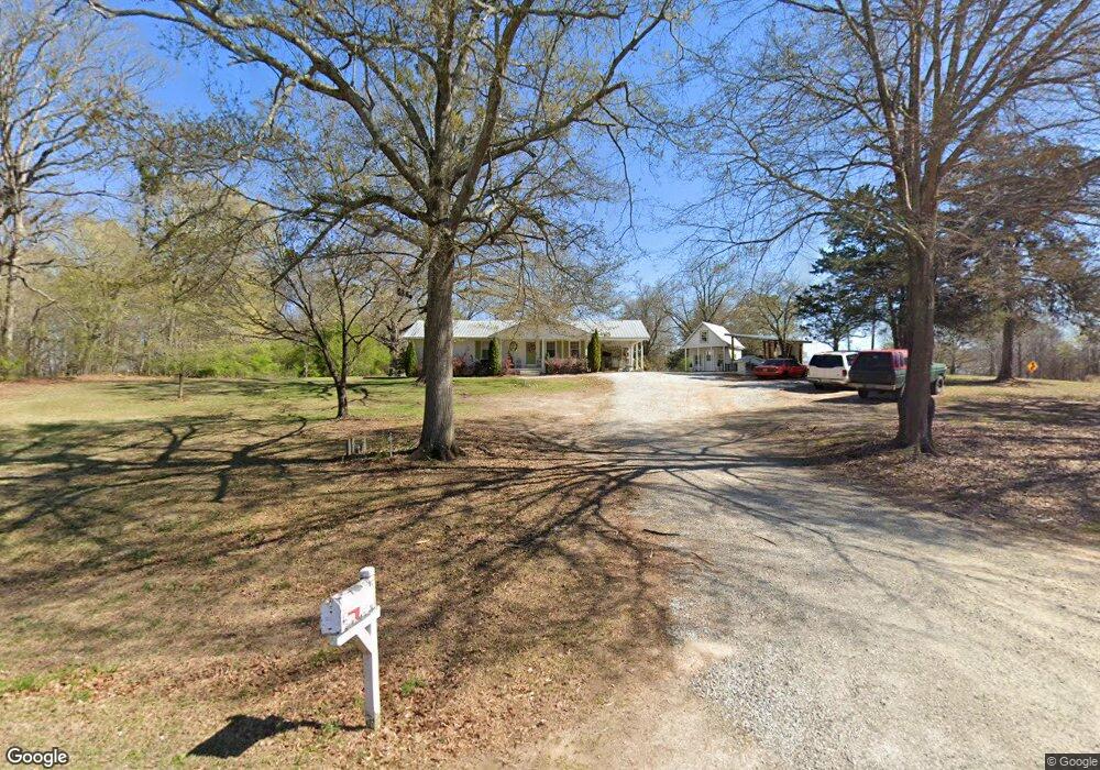
2013 Duncan Rd Commerce, GA 30530
Estimated Value: $119,000 - $309,000
3
Beds
1
Bath
1,188
Sq Ft
$178/Sq Ft
Est. Value
About This Home
This home is located at 2013 Duncan Rd, Commerce, GA 30530 and is currently estimated at $211,254, approximately $177 per square foot. 2013 Duncan Rd is a home located in Banks County with nearby schools including Banks County Primary School, Banks County Elementary School, and Banks County Middle School.
Ownership History
Date
Name
Owned For
Owner Type
Purchase Details
Closed on
Nov 20, 2012
Sold by
Cheatham Charles
Bought by
Brown Love John Christopher and Brown Love Holly
Current Estimated Value
Purchase Details
Closed on
Feb 17, 2012
Sold by
Martin Linda Reems
Bought by
Cheatham Charles
Create a Home Valuation Report for This Property
The Home Valuation Report is an in-depth analysis detailing your home's value as well as a comparison with similar homes in the area
Home Values in the Area
Average Home Value in this Area
Purchase History
| Date | Buyer | Sale Price | Title Company |
|---|---|---|---|
| Brown Love John Christopher | -- | -- | |
| Cheatham Charles | $28,000 | -- | |
| Cheatham Charles | -- | -- |
Source: Public Records
Tax History Compared to Growth
Tax History
| Year | Tax Paid | Tax Assessment Tax Assessment Total Assessment is a certain percentage of the fair market value that is determined by local assessors to be the total taxable value of land and additions on the property. | Land | Improvement |
|---|---|---|---|---|
| 2025 | $1,245 | $68,398 | $8,947 | $59,451 |
| 2024 | $1,287 | $65,209 | $8,133 | $57,076 |
| 2023 | $975 | $48,407 | $6,505 | $41,902 |
| 2022 | $831 | $41,563 | $6,459 | $35,104 |
| 2021 | $767 | $36,335 | $4,334 | $32,001 |
| 2020 | $563 | $26,546 | $3,642 | $22,904 |
| 2019 | $566 | $26,546 | $3,642 | $22,904 |
| 2018 | $508 | $23,679 | $2,802 | $20,877 |
| 2017 | $522 | $23,368 | $2,436 | $20,932 |
| 2016 | $523 | $22,804 | $2,436 | $20,368 |
| 2015 | $503 | $21,855 | $2,436 | $19,420 |
| 2014 | $503 | $23,319 | $3,899 | $19,420 |
| 2013 | -- | $23,318 | $3,899 | $19,419 |
Source: Public Records
Map
Nearby Homes
- 7527 Highway 326
- 24 Tomlin Way
- 1020 Riverbend Rd
- 775 Riverbend Rd
- 0 5 Points Rd
- 0 Carson Rd Unit LOT 32 10594149
- 0 Carson Rd Unit 7640890
- 163 M t Trail
- 1679 Fort Lamar Rd
- 1065 Hebron Rd
- 166 Timberlane Dr
- 731 Borders Rd
- 139 Meadow Lake Dr
- 161 Meadow Lake Dr
- 5591 Jot Em Down Rd
- 0-TRACT 3 Drake Woods Rd
- 689 Riverside Ct
- 166 Freedom Ln
- 0 Freedom Ln Unit 9B
- 3162 Highway 326 Unit 1,2
- 2005 Duncan Rd
- 91 No Where Rd
- 91 Nowhere Rd
- 000 Hudson River Church Rd
- 0 Hudson River Church Rd Unit CM923554
- 0 Hudson River Church Rd Unit 7020526
- 0 Hudson River Church Rd Unit 7211835
- 0 Hudson River Church Rd Unit 3110251
- 3213 Highway 326
- 1939 Duncan Rd
- 1917 Duncan Rd
- 100 Hudson River Church Rd
- 3289 Highway 326
- 133 Alexander Rd
- 245 E County Line Rd
- 3293 Highway 326
- 249 Alexander Rd
- LOT 10 Alexander
- 3017 Highway 326