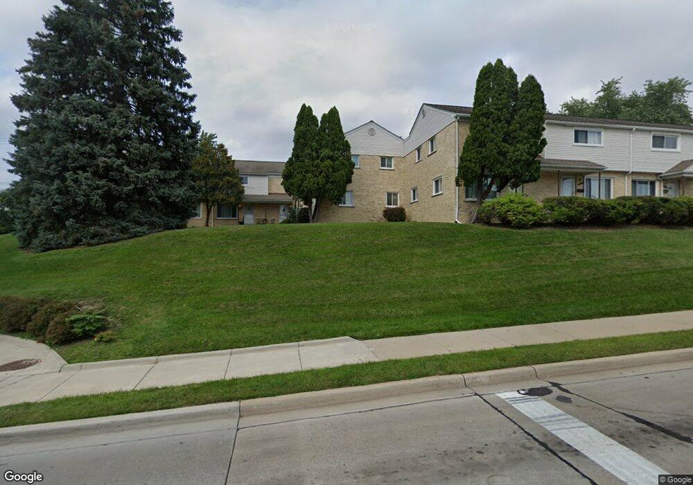
2013 E Maple Rd Unit 2 Birmingham, MI 48009
Estimated Value: $193,412 - $237,000
2
Beds
2
Baths
980
Sq Ft
$216/Sq Ft
Est. Value
About This Home
This home is located at 2013 E Maple Rd Unit 2, Birmingham, MI 48009 and is currently estimated at $211,853, approximately $216 per square foot. 2013 E Maple Rd Unit 2 is a home located in Oakland County with nearby schools including Pembroke Elementary School, Derby Middle School, and Ernest W. Seaholm High School.
Ownership History
Date
Name
Owned For
Owner Type
Purchase Details
Closed on
May 7, 2008
Sold by
Geldres Juan J and Geldres Doris L
Bought by
Carranza Angela Maria
Current Estimated Value
Purchase Details
Closed on
Aug 11, 2000
Sold by
Gorosh David
Bought by
Gorosh Laura
Purchase Details
Closed on
Mar 3, 1998
Sold by
Sullivan Eugene F
Bought by
Gorosh Laura
Home Financials for this Owner
Home Financials are based on the most recent Mortgage that was taken out on this home.
Original Mortgage
$77,500
Interest Rate
7.15%
Create a Home Valuation Report for This Property
The Home Valuation Report is an in-depth analysis detailing your home's value as well as a comparison with similar homes in the area
Home Values in the Area
Average Home Value in this Area
Purchase History
| Date | Buyer | Sale Price | Title Company |
|---|---|---|---|
| Carranza Angela Maria | $95,000 | Stewart Title | |
| Gorosh Laura | $135,000 | -- | |
| Gorosh Laura | $81,000 | -- |
Source: Public Records
Mortgage History
| Date | Status | Borrower | Loan Amount |
|---|---|---|---|
| Previous Owner | Gorosh Laura | $77,500 |
Source: Public Records
Tax History
| Year | Tax Paid | Tax Assessment Tax Assessment Total Assessment is a certain percentage of the fair market value that is determined by local assessors to be the total taxable value of land and additions on the property. | Land | Improvement |
|---|---|---|---|---|
| 2025 | $1,680 | $77,050 | $0 | $0 |
| 2024 | $1,483 | $72,620 | $0 | $0 |
| 2023 | $1,421 | $63,870 | $0 | $0 |
| 2022 | $1,524 | $58,010 | $0 | $0 |
| 2021 | $1,537 | $56,700 | $0 | $0 |
| 2020 | $1,370 | $54,920 | $0 | $0 |
| 2019 | $1,551 | $53,300 | $0 | $0 |
| 2018 | $1,539 | $51,130 | $0 | $0 |
| 2017 | $1,536 | $50,040 | $0 | $0 |
| 2016 | $1,540 | $48,620 | $0 | $0 |
| 2015 | -- | $44,890 | $0 | $0 |
| 2014 | -- | $39,110 | $0 | $0 |
| 2011 | -- | $33,080 | $0 | $0 |
Source: Public Records
Map
Nearby Homes
- 2051 Villa Rd Unit 304
- 2051 Villa Rd Unit 302
- 2051 Villa Rd Unit 401
- 2182 Buckingham Ave
- 1850 Dorchester Rd
- 1881 Hazel St
- 1777 Hazel St
- 3237 Newbury Place
- 512 Graten St Unit 6
- 1985 Graefield Rd Unit 28
- 1974 Graefield Rd
- 729 N Eton St
- 3178 Camden Dr Unit 83
- 3286 Camden Dr Unit 132
- 3086 Camden Dr Unit 47
- 3135 Camden Dr Unit 93 / bldg 10
- 3255 Camden Dr Unit 121
- 3227 Camden Dr Unit 114
- 3139 Camden Dr Unit 94
- 1546 Devon Ln
- 2065 E Maple Rd
- 2057 E Maple Rd
- 2065 E Maple Rd Unit 2065
- 2065 E Maple Rd Unit 8L
- 2081 E Maple Rd Unit 10
- 2073 E Maple Rd
- 2051 E Maple Rd
- 2049 E Maple Rd
- 2037 E Maple Rd
- 2025 E Maple Rd
- 2099 E Maple Rd Unit 11
- 2037 E Maple Rd Unit 2037
- 2001 E Maple Rd Unit 1
- 2001 E Maple Rd
- 2001 E Maple Rd Unit 1
- 2001 E Maple Rd Unit 2001
- 2064 Yorkshire Rd
- 2046 Yorkshire Rd Unit Bldg-Unit
- 2046 Yorkshire Rd
- 2092 Yorkshire Rd
Your Personal Tour Guide
Ask me questions while you tour the home.