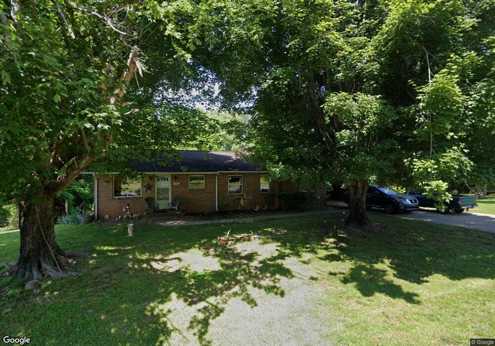
2013 Falcon Rd East Bend, NC 27018
Estimated Value: $215,000 - $347,000
3
Beds
1
Bath
1,618
Sq Ft
$175/Sq Ft
Est. Value
About This Home
This home is located at 2013 Falcon Rd, East Bend, NC 27018 and is currently estimated at $282,928, approximately $174 per square foot. 2013 Falcon Rd is a home located in Yadkin County.
Ownership History
Date
Name
Owned For
Owner Type
Purchase Details
Closed on
Apr 18, 2018
Sold by
Hughes Carlisle B and Hughes Balerie M
Bought by
Hughes Carlisle B
Current Estimated Value
Purchase Details
Closed on
Oct 25, 2015
Sold by
Matthews Harold Gray and Matthews Rebecca Carter
Bought by
Hughes Carlisle B and Hughes Valerie M
Home Financials for this Owner
Home Financials are based on the most recent Mortgage that was taken out on this home.
Original Mortgage
$83,715
Outstanding Balance
$34,027
Interest Rate
3.93%
Mortgage Type
Purchase Money Mortgage
Estimated Equity
$248,901
Create a Home Valuation Report for This Property
The Home Valuation Report is an in-depth analysis detailing your home's value as well as a comparison with similar homes in the area
Home Values in the Area
Average Home Value in this Area
Purchase History
| Date | Buyer | Sale Price | Title Company |
|---|---|---|---|
| Hughes Carlisle B | -- | None Available | |
| Hughes Carlisle B | $73,000 | None Available |
Source: Public Records
Mortgage History
| Date | Status | Borrower | Loan Amount |
|---|---|---|---|
| Open | Hughes Carlisle B | $83,715 |
Source: Public Records
Tax History Compared to Growth
Tax History
| Year | Tax Paid | Tax Assessment Tax Assessment Total Assessment is a certain percentage of the fair market value that is determined by local assessors to be the total taxable value of land and additions on the property. | Land | Improvement |
|---|---|---|---|---|
| 2025 | $987 | $129,273 | $26,818 | $102,455 |
| 2024 | $977 | $129,273 | $26,818 | $102,455 |
| 2023 | $575 | $129,273 | $26,818 | $102,455 |
| 2022 | $575 | $89,404 | $0 | $0 |
| 2021 | $703 | $89,404 | $24,380 | $65,024 |
| 2020 | $703 | $89,404 | $24,380 | $65,024 |
| 2019 | $717 | $89,404 | $24,380 | $65,024 |
| 2018 | $717 | $89,404 | $24,380 | $65,024 |
| 2017 | $698 | $89,404 | $24,380 | $65,024 |
| 2016 | $789 | $102,076 | $23,650 | $78,426 |
| 2015 | $745 | $102,076 | $23,650 | $78,426 |
| 2014 | $745 | $102,076 | $23,650 | $78,426 |
| 2013 | $765 | $102,076 | $23,650 | $78,426 |
Source: Public Records
Map
Nearby Homes
- 3013 Spillman Frye Ln
- 2181 Walnut Crossing Run
- 3445 Old Us 421 Hwy E
- 3033 Leslie Ln
- 0 Brookfield Ln
- 00 Brookfield Ln
- 0 Lori Ln
- Lot 3 Ruff Hollar Dr
- Lot 2 Ruff Hollar Dr
- 3821 View Ln
- 000 Shelton Rd
- 2548 US 421 Hwy E
- 1332 Union Cross Church Rd
- 00 Terry Ln
- 0 Terry Ln
- 4198 Emmas Way
- 4196 Emmas Way
- 2364 Summertime Rd
- 2576 Snider Rd
- 3753 Prides Rd