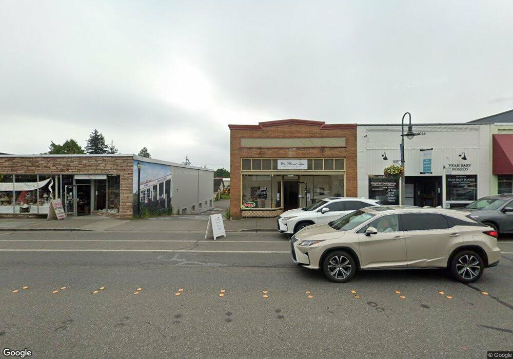
2013 Main St Ferndale, WA 98248
Estimated Value: $540,847
--
Bed
--
Bath
1,750
Sq Ft
$309/Sq Ft
Est. Value
About This Home
This home is located at 2013 Main St, Ferndale, WA 98248 and is currently estimated at $540,847, approximately $309 per square foot. 2013 Main St is a home located in Whatcom County with nearby schools including Central Elementary School, Vista Middle School, and Ferndale High School.
Ownership History
Date
Name
Owned For
Owner Type
Purchase Details
Closed on
Dec 15, 2021
Sold by
Crawford Christopher D and Crawford Bobbie B
Bought by
Stephens John and Stephens David Redwood
Current Estimated Value
Purchase Details
Closed on
Feb 14, 2006
Sold by
Hall Robert K
Bought by
Murphy Seth and Murphy Jennifer Elise
Home Financials for this Owner
Home Financials are based on the most recent Mortgage that was taken out on this home.
Original Mortgage
$195,000
Interest Rate
6.2%
Mortgage Type
Commercial
Purchase Details
Closed on
Apr 10, 2003
Sold by
Landcastle Gerald and Landcastle Sharon
Bought by
Hall Robert K
Home Financials for this Owner
Home Financials are based on the most recent Mortgage that was taken out on this home.
Original Mortgage
$76,532
Interest Rate
5.73%
Mortgage Type
Commercial
Create a Home Valuation Report for This Property
The Home Valuation Report is an in-depth analysis detailing your home's value as well as a comparison with similar homes in the area
Home Values in the Area
Average Home Value in this Area
Purchase History
| Date | Buyer | Sale Price | Title Company |
|---|---|---|---|
| Stephens John | $460,000 | Chicago Title | |
| Stephens David Redwood | $460,000 | Chicago Title Company Of Wa | |
| Murphy Seth | $260,280 | First American Title Insuran | |
| Hall Robert K | $250,000 | First American Title Insuran |
Source: Public Records
Mortgage History
| Date | Status | Borrower | Loan Amount |
|---|---|---|---|
| Previous Owner | Murphy Seth | $195,000 | |
| Previous Owner | Hall Robert K | $76,532 |
Source: Public Records
Tax History Compared to Growth
Tax History
| Year | Tax Paid | Tax Assessment Tax Assessment Total Assessment is a certain percentage of the fair market value that is determined by local assessors to be the total taxable value of land and additions on the property. | Land | Improvement |
|---|---|---|---|---|
| 2024 | $3,112 | $447,106 | $171,875 | $275,231 |
| 2023 | $3,112 | $447,106 | $171,875 | $275,231 |
| 2022 | $2,990 | $404,158 | $116,156 | $288,002 |
| 2021 | $2,711 | $334,026 | $96,000 | $238,026 |
| 2020 | $3,013 | $278,355 | $80,000 | $198,355 |
| 2019 | $2,476 | $278,355 | $80,000 | $198,355 |
| 2018 | $3,294 | $271,831 | $78,125 | $193,706 |
| 2017 | $2,739 | $271,831 | $78,125 | $193,706 |
| 2016 | $2,730 | $244,400 | $73,320 | $171,080 |
| 2015 | $2,854 | $244,400 | $73,320 | $171,080 |
| 2014 | -- | $249,600 | $74,880 | $174,720 |
| 2013 | -- | $249,600 | $74,880 | $174,720 |
Source: Public Records
Map
Nearby Homes
- 1991 Alder St Unit 204
- 2029 Maple St
- 5604 3rd Ave
- 5802 2nd Ave
- 5786 Portal Way
- 5685 Correll Dr
- 5675 Rosemary Ave
- 0 Riverside Dr Unit NWM2356867
- 5879 Anderson Ave
- 5873 Anderson Ave
- 5829 Vista Dr
- 2136 Hawthorne St
- 2234 Main St
- 5863 Cedar St
- 5865 Anderson Ave
- 5861 Malloy Ave
- 5682 Sunstone Place Unit 103
- 5686 Sunstone Place Unit 101
- 2333 Main St
- 2344 Main St