2013 Maple Ln Garrett, IN 46738
Estimated Value: $246,000 - $271,000
3
Beds
2
Baths
1,372
Sq Ft
$189/Sq Ft
Est. Value
About This Home
This home is located at 2013 Maple Ln, Garrett, IN 46738 and is currently estimated at $258,685, approximately $188 per square foot. 2013 Maple Ln is a home located in DeKalb County with nearby schools including J.E. Ober Elementary School, Garrett Middle School, and Garrett High School.
Ownership History
Date
Name
Owned For
Owner Type
Purchase Details
Closed on
Jun 26, 2010
Sold by
Lilly Christopher A and Lilly Patricia A
Bought by
Lilly Christopher A and Lilly Patricia A
Current Estimated Value
Purchase Details
Closed on
Aug 30, 1996
Sold by
Marker James L and Marker Sue Ann
Bought by
Januseski Anthony R
Create a Home Valuation Report for This Property
The Home Valuation Report is an in-depth analysis detailing your home's value as well as a comparison with similar homes in the area
Home Values in the Area
Average Home Value in this Area
Purchase History
| Date | Buyer | Sale Price | Title Company |
|---|---|---|---|
| Lilly Christopher A | -- | None Available | |
| Januseski Anthony R | $108,900 | -- |
Source: Public Records
Tax History Compared to Growth
Tax History
| Year | Tax Paid | Tax Assessment Tax Assessment Total Assessment is a certain percentage of the fair market value that is determined by local assessors to be the total taxable value of land and additions on the property. | Land | Improvement |
|---|---|---|---|---|
| 2024 | $2,303 | $245,700 | $45,000 | $200,700 |
| 2023 | $1,917 | $216,800 | $40,100 | $176,700 |
| 2022 | $1,842 | $184,600 | $32,900 | $151,700 |
| 2021 | $1,696 | $171,600 | $32,900 | $138,700 |
| 2020 | $1,537 | $157,600 | $28,100 | $129,500 |
| 2019 | $1,467 | $154,200 | $28,100 | $126,100 |
| 2018 | $1,530 | $154,200 | $28,100 | $126,100 |
| 2017 | $1,634 | $159,000 | $28,100 | $130,900 |
| 2016 | $1,595 | $157,600 | $28,100 | $129,500 |
| 2014 | $1,489 | $148,100 | $28,100 | $120,000 |
Source: Public Records
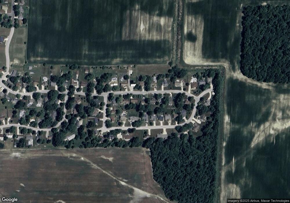
Map
Nearby Homes
- 0 S Colony Dr
- 501 E Quincy St
- 108 S Sullivan St
- 202 E King St
- 219 S Harrison St
- 309 S Walsh St
- 312 S Lee St
- 208 S Franklin St
- 818 Gullet Ave
- 215 Latigo Ln
- 104 S Cowen St
- 508 Sadie Place
- 1425 County Road 54
- 404 S Peters St
- 1705 Badger Ln Unit 1
- 910 S Ijams St
- 511 Caribou Crossing
- 1710 Badger Ln Unit 39
- 602 Pioneer St
- 507 Caribou Crossing