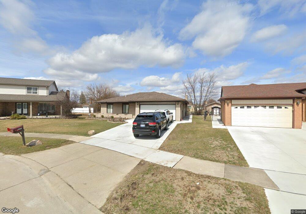
2013 Michael Dr Sterling Heights, MI 48310
Estimated Value: $326,000 - $346,000
About This Home
This home is located at 2013 Michael Dr, Sterling Heights, MI 48310 and is currently estimated at $336,165, approximately $213 per square foot. 2013 Michael Dr is a home located in Macomb County with nearby schools including Holden Elementary School, Grissom Middle School, and Sterling Heights Senior H.S..
Ownership History
We collect this data history from publicly available records. To have your information removed, we recommend requesting removal directly through your county’s website.
Purchase Details
Home Financials for this Owner
Home Financials are based on the most recent Mortgage that was taken out on this home.Home Values in the Area
Average Home Value in this Area
Purchase History
We collect this data history from publicly available records. To have your information removed, we recommend requesting removal directly through your county’s website.
| Date | Buyer | Sale Price | Title Company |
|---|---|---|---|
| $195,000 | Great Lakes Title Of Mi |
Mortgage History
We collect this data history from publicly available records. To have your information removed, we recommend requesting removal directly through your county’s website.
| Date | Status | Borrower | Loan Amount |
|---|---|---|---|
| Open | $156,000 |
Tax History
We collect this data history from publicly available records. To have your information removed, we recommend requesting removal directly through your county’s website.
| Year | Tax Paid | Tax Assessment Tax Assessment Total Assessment is a certain percentage of the fair market value that is determined by local assessors to be the total taxable value of land and additions on the property. | Land | Improvement |
|---|---|---|---|---|
| 2025 | $3,693 | $158,500 | $0 | $0 |
| 2024 | $35 | $147,600 | $0 | $0 |
| 2023 | $3,282 | $135,800 | $0 | $0 |
| 2022 | $3,183 | $122,900 | $0 | $0 |
| 2021 | $3,290 | $118,600 | $0 | $0 |
| 2020 | $3,128 | $112,800 | $0 | $0 |
| 2019 | $3,084 | $105,900 | $0 | $0 |
| 2018 | $3,111 | $93,100 | $0 | $0 |
| 2017 | $3,000 | $88,100 | $13,700 | $74,400 |
| 2016 | $2,936 | $88,100 | $0 | $0 |
| 2015 | -- | $81,000 | $0 | $0 |
| 2014 | -- | $66,200 | $0 | $0 |
Map
- 3373 Auburn Dr
- 2419 Fox Hill Dr
- 37465 Dundee St
- 2133 Keystone Dr
- 38344 Douglas Dr
- 37257 Dundee St
- 38505 Dequindre Rd
- 37209 Curwood Dr
- 37183 Curwood Dr
- 3091 Heritage Dr
- 2938 Fox Hill Dr
- 2865 Ashbury Dr
- 37050 Calka Dr
- 38684 Pinebrook Dr
- 2995 Groves Dr
- 2742 Downey Dr
- 2497 Avalon Dr
- 3172 Cedar Crest Dr Unit 12
- 3038 Donna Dr
- 2564 Rainbow Dr
- 2025 Michael Dr
- 2001 Michael Dr
- 1946 Fox Hill Dr
- 2037 Michael Dr
- 1934 Fox Hill Dr
- 37755 Samantha Dr
- 2014 Fox Hill Dr
- 1922 Fox Hill Dr
- 2049 Michael Dr
- 2024 Michael Dr
- 37743 Samantha Dr
- 2026 Fox Hill Dr
- 2036 Michael Dr
- 2061 Michael Dr
- 37731 Samantha Dr
- 2048 Michael Dr
- 2038 Fox Hill Dr
- 37720 Samantha Dr
- 2073 Michael Dr
- 37719 Samantha Dr
Ask me questions while you tour the home.