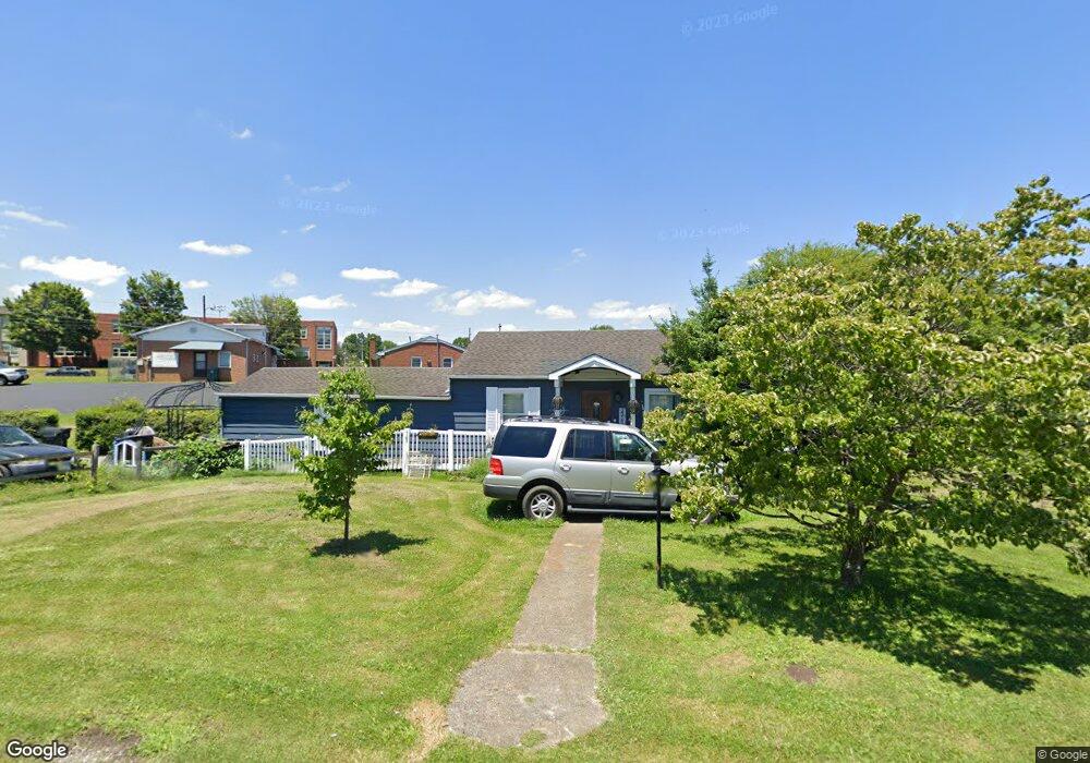
2013 Newton St Bristol, VA 24201
Estimated Value: $133,000 - $181,000
2
Beds
1
Bath
1,372
Sq Ft
$110/Sq Ft
Est. Value
About This Home
This home is located at 2013 Newton St, Bristol, VA 24201 and is currently estimated at $150,922, approximately $110 per square foot. 2013 Newton St is a home located in Bristol City with nearby schools including Virginia High School, Tri-Cities Christian School, and Brookside Academy.
Ownership History
Date
Name
Owned For
Owner Type
Purchase Details
Closed on
Oct 23, 2020
Sold by
Hause Frances Charlene
Bought by
Fisher Donna Charlene
Current Estimated Value
Purchase Details
Closed on
Jul 29, 2011
Sold by
Stigall Jack
Bought by
Hause Donald P
Home Financials for this Owner
Home Financials are based on the most recent Mortgage that was taken out on this home.
Original Mortgage
$39,750
Interest Rate
4.52%
Mortgage Type
New Conventional
Create a Home Valuation Report for This Property
The Home Valuation Report is an in-depth analysis detailing your home's value as well as a comparison with similar homes in the area
Home Values in the Area
Average Home Value in this Area
Purchase History
| Date | Buyer | Sale Price | Title Company |
|---|---|---|---|
| Fisher Donna Charlene | -- | None Available | |
| Hause Donald P | $53,000 | -- |
Source: Public Records
Mortgage History
| Date | Status | Borrower | Loan Amount |
|---|---|---|---|
| Previous Owner | Hause Donald P | $39,750 |
Source: Public Records
Tax History Compared to Growth
Tax History
| Year | Tax Paid | Tax Assessment Tax Assessment Total Assessment is a certain percentage of the fair market value that is determined by local assessors to be the total taxable value of land and additions on the property. | Land | Improvement |
|---|---|---|---|---|
| 2025 | $915 | $98,400 | $22,000 | $76,400 |
| 2024 | -- | $66,300 | $17,500 | $48,800 |
| 2023 | $0 | $66,300 | $17,500 | $48,800 |
| 2022 | $0 | $66,300 | $17,500 | $48,800 |
| 2021 | $0 | $66,300 | $17,500 | $48,800 |
| 2020 | $0 | $51,400 | $17,500 | $33,900 |
| 2019 | $509 | $51,400 | $17,500 | $33,900 |
| 2016 | -- | $0 | $0 | $0 |
| 2015 | -- | $0 | $0 | $0 |
| 2014 | -- | $0 | $0 | $0 |
Source: Public Records
Map
Nearby Homes
- 2000 Euclid Ave
- 000 Hemlock Dr
- 2177 Randolph St
- 1057 Moorland Ave
- 2121 2123 Randolph St
- 2241 Bradley St
- 2412,14,16 Bradley St
- 460 Vance St
- 60 Peters St
- 2400 Bradley St
- 728 Randolph St
- 401 Crockett St
- 1724 & 1728 Euclid Ave
- 548 Floyd St
- 2413 Catherine St
- 2228 Bay St
- 1614 Broad St
- 2461 Bradley St
- 420 Douglas St
- 461 Douglas St
- 2005 Newton St
- 2020 Euclid Ave
- 2020 Newton St
- 2016 Euclid Ave
- 2022 Euclid Ave
- 2014 Euclid Ave
- 2002 Newton St
- 2001 Newton St
- 2030 Euclid Ave
- 2000 Newton St
- 2040 Euclid Ave
- 146 20th St
- 2042 Euclid Ave
- 2115 W State St
- 112 Lexington Ave
- 108 Lexington Ave
- 2044 Euclid Ave
- 100 Lexington Ave
- 2004 Euclid Ave
- 3 21st St