2013 Pearidge Rd Bostic, NC 28018
Estimated Value: $359,000 - $545,000
3
Beds
3
Baths
2,567
Sq Ft
$176/Sq Ft
Est. Value
About This Home
This home is located at 2013 Pearidge Rd, Bostic, NC 28018 and is currently estimated at $451,173, approximately $175 per square foot. 2013 Pearidge Rd is a home located in Rutherford County with nearby schools including Sunshine Elementary School, East Rutherford Middle School, and East Rutherford High School.
Ownership History
Date
Name
Owned For
Owner Type
Purchase Details
Closed on
Oct 25, 2023
Sold by
Greene Tyler Samuel
Bought by
Greene Matthew Easter
Current Estimated Value
Home Financials for this Owner
Home Financials are based on the most recent Mortgage that was taken out on this home.
Original Mortgage
$450,000
Outstanding Balance
$439,345
Interest Rate
6.83%
Mortgage Type
New Conventional
Estimated Equity
$11,828
Purchase Details
Closed on
May 15, 2021
Sold by
Greene Matthew Easier and Greene Kristen Kimbrell
Bought by
Flynn Susan T and Greene Matthew Easier
Purchase Details
Closed on
Aug 15, 2018
Sold by
Flynn Susan T
Bought by
Flynn Susan T and Greene Matthew Easler
Create a Home Valuation Report for This Property
The Home Valuation Report is an in-depth analysis detailing your home's value as well as a comparison with similar homes in the area
Home Values in the Area
Average Home Value in this Area
Purchase History
| Date | Buyer | Sale Price | Title Company |
|---|---|---|---|
| Greene Matthew Easter | $200,000 | None Listed On Document | |
| Greene Matthew Easter | $200,000 | None Listed On Document | |
| Flynn Susan T | -- | None Available | |
| Flynn Susan T | -- | None Available |
Source: Public Records
Mortgage History
| Date | Status | Borrower | Loan Amount |
|---|---|---|---|
| Open | Greene Matthew Easter | $450,000 | |
| Closed | Greene Matthew Easter | $450,000 |
Source: Public Records
Tax History
| Year | Tax Paid | Tax Assessment Tax Assessment Total Assessment is a certain percentage of the fair market value that is determined by local assessors to be the total taxable value of land and additions on the property. | Land | Improvement |
|---|---|---|---|---|
| 2025 | $2,587 | $424,500 | $24,600 | $399,900 |
| 2024 | $25 | $424,500 | $24,600 | $399,900 |
| 2023 | $2,351 | $482,600 | $24,600 | $458,000 |
| 2022 | $2,351 | $334,300 | $25,800 | $308,500 |
| 2021 | $2,346 | $334,300 | $25,800 | $308,500 |
| 2020 | $2,346 | $334,300 | $25,800 | $308,500 |
| 2019 | $2,258 | $322,000 | $25,800 | $296,200 |
| 2018 | $2,025 | $282,300 | $25,800 | $256,500 |
| 2016 | $2,003 | $282,300 | $25,800 | $256,500 |
| 2013 | -- | $282,300 | $25,800 | $256,500 |
Source: Public Records
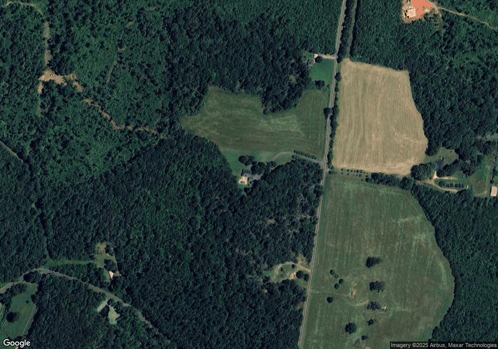
Map
Nearby Homes
- 0 Freeman Rd
- 0 Pea Ridge Rd Unit 7 CAR3901978
- 294 Gable Hill Ln
- 1090 Pearidge Rd
- 1009 Pearidge Rd
- 158 Dusty Hollow
- 1217 Freeman Rd
- 0 Farmer Johns Trail Unit 9
- 1757 Bostic Sunshine Hwy Unit 17
- 1710 Hudlow Rd
- 1583 Hudlow Rd 7a
- 1595 Hudlow Road 7b
- 262 Daisy Ln
- 0 Dead End Rd
- 201 Harris St
- 157 N Main St
- 114 Aqua Dr
- 1102 S Mountain Rd
- 356 Brooks Rd
- 424 Winnies Rd
- 1940 Pearidge Rd
- 2010 Pearidge Rd
- 0 Collins Rd Unit 3 CAR4287430
- 0 Collins Rd Unit 4 CAR4287443
- 0 Collins Rd Unit 5 CAR4287454
- 0000 Collins Rd
- 1861 Pearidge Rd
- 562 Collins Rd
- 416 Collins Rd
- 343 Collins Rd
- 308 Collins Rd
- 290 Collins Rd
- 268 Collins Rd
- 344 Collins Rd
- 226 Collins Rd
- 160 Collins Rd
- 232 Long Rd
- 3260 Whitesides Rd
- 220 Collins Rd Unit 222
- 336 Andrews Mill Rd
Your Personal Tour Guide
Ask me questions while you tour the home.