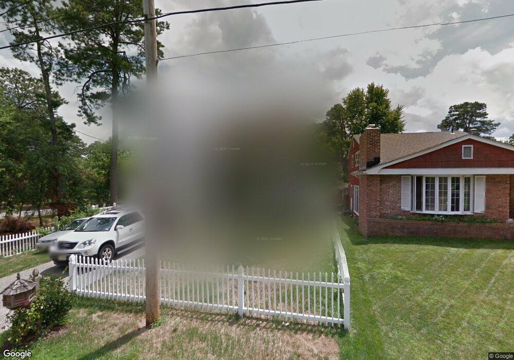
2013 Pineview Rd Forked River, NJ 08731
Estimated Value: $526,190 - $600,000
3
Beds
3
Baths
2,113
Sq Ft
$263/Sq Ft
Est. Value
About This Home
This home is located at 2013 Pineview Rd, Forked River, NJ 08731 and is currently estimated at $556,298, approximately $263 per square foot. 2013 Pineview Rd is a home located in Ocean County with nearby schools including Lacey Township High School.
Ownership History
Date
Name
Owned For
Owner Type
Purchase Details
Closed on
Mar 31, 2004
Sold by
Home One Llc
Bought by
Everett Susan L
Current Estimated Value
Home Financials for this Owner
Home Financials are based on the most recent Mortgage that was taken out on this home.
Original Mortgage
$209,000
Outstanding Balance
$97,941
Interest Rate
5.6%
Mortgage Type
Stand Alone First
Estimated Equity
$458,357
Purchase Details
Closed on
Apr 25, 2003
Sold by
Kugler Karl H
Bought by
Home One Llc
Create a Home Valuation Report for This Property
The Home Valuation Report is an in-depth analysis detailing your home's value as well as a comparison with similar homes in the area
Home Values in the Area
Average Home Value in this Area
Purchase History
| Date | Buyer | Sale Price | Title Company |
|---|---|---|---|
| Everett Susan L | $279,000 | Pegasus Title Agency Llc | |
| Home One Llc | $38,000 | -- |
Source: Public Records
Mortgage History
| Date | Status | Borrower | Loan Amount |
|---|---|---|---|
| Open | Everett Susan L | $209,000 | |
| Closed | Home One Llc | $0 |
Source: Public Records
Tax History
| Year | Tax Paid | Tax Assessment Tax Assessment Total Assessment is a certain percentage of the fair market value that is determined by local assessors to be the total taxable value of land and additions on the property. | Land | Improvement |
|---|---|---|---|---|
| 2025 | $6,695 | $264,200 | $60,300 | $203,900 |
| 2024 | $6,259 | $264,200 | $60,300 | $203,900 |
| 2023 | $5,979 | $264,200 | $60,300 | $203,900 |
| 2022 | $5,979 | $264,200 | $60,300 | $203,900 |
| 2021 | $5,452 | $264,200 | $60,300 | $203,900 |
| 2020 | $5,691 | $264,200 | $60,300 | $203,900 |
| 2019 | $5,590 | $264,200 | $60,300 | $203,900 |
| 2018 | $5,524 | $264,200 | $60,300 | $203,900 |
| 2017 | $5,398 | $264,200 | $60,300 | $203,900 |
| 2016 | $5,376 | $264,200 | $60,300 | $203,900 |
| 2015 | $5,136 | $264,200 | $60,300 | $203,900 |
| 2014 | $4,128 | $240,000 | $96,300 | $143,700 |
Source: Public Records
Map
Nearby Homes
- 1972 Glen Oak Dr
- 1988 Brookdale Dr
- 1660 Joffre Rd
- 4 Kent Ct
- 0000 Earie Way
- 576 Vaughn Ave
- 923 Tappan St
- 1440 Leguene Ave
- 930 Tappan St
- 822 Devon St
- 38 Sheffield Dr
- 0 Hoyt St Unit 22602566
- 1007 Elwood St
- 1326 Leguene Ave
- 932 Elwood St
- 000 Elwood St
- 1013 Chelsea St
- 650 Chelsea St
- 812 Chelsea St
- 603 Maria Loretta Ln
- 2039 Brookdale Park Dr
- 2015 Pineview Rd
- 2038 Brookdale Park Dr
- 2041 Brookdale Park Dr
- 2036 Brookdale Park Dr
- 2037 Brookdale Park Dr
- 2033 Brookdale Park Dr
- 2040 Brookdale Park Dr
- 2036 Crestwood Dr
- 2040 Crestwood Dr
- 2042 Brookdale Park Dr
- 2032 Crestwood Dr
- 2032 Brookdale Park Dr
- 2039 Crestwood Dr
- 2001 Pineview Rd
- 2037 Crestwood Dr
- 1937 Sweetwood Dr
- 2100 Pineview Rd
- 2030 Crestwood Dr
- 2045 Brookdale Park Dr
Your Personal Tour Guide
Ask me questions while you tour the home.