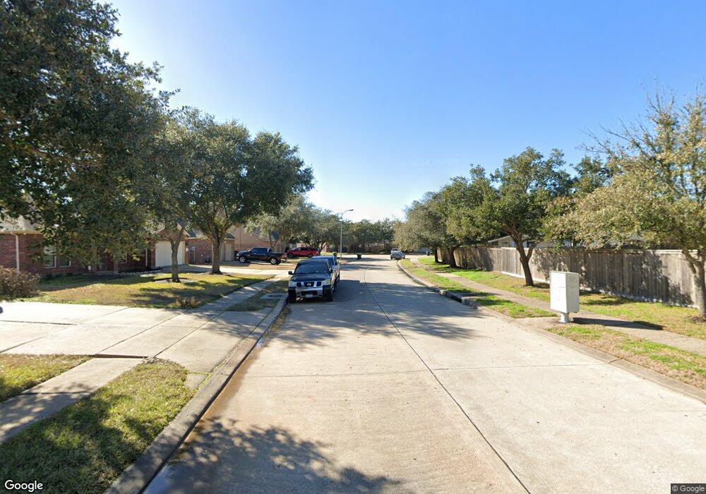
2013 Ransom Rd Richmond, TX 77469
Estimated Value: $265,000 - $281,000
3
Beds
2
Baths
1,533
Sq Ft
$180/Sq Ft
Est. Value
About This Home
This home is located at 2013 Ransom Rd, Richmond, TX 77469 and is currently estimated at $276,320, approximately $180 per square foot. 2013 Ransom Rd is a home located in Fort Bend County with nearby schools including J J Wessendorff Middle School, Lamar Junior High School, and Lamar Consolidated High School.
Ownership History
Date
Name
Owned For
Owner Type
Purchase Details
Closed on
Aug 11, 2018
Sold by
Williams Way Partnership Ltd
Bought by
County Of Fort Bend Tx
Current Estimated Value
Purchase Details
Closed on
Sep 26, 2003
Sold by
Castro Mary and Castro Maria G
Bought by
Castro Cynthia and Castro Jerry
Home Financials for this Owner
Home Financials are based on the most recent Mortgage that was taken out on this home.
Original Mortgage
$82,450
Interest Rate
6.42%
Mortgage Type
Purchase Money Mortgage
Create a Home Valuation Report for This Property
The Home Valuation Report is an in-depth analysis detailing your home's value as well as a comparison with similar homes in the area
Home Values in the Area
Average Home Value in this Area
Purchase History
| Date | Buyer | Sale Price | Title Company |
|---|---|---|---|
| County Of Fort Bend Tx | $77,792 | None Available | |
| Castro Cynthia | -- | First American Title |
Source: Public Records
Mortgage History
| Date | Status | Borrower | Loan Amount |
|---|---|---|---|
| Previous Owner | Castro Cynthia | $82,450 |
Source: Public Records
Tax History Compared to Growth
Tax History
| Year | Tax Paid | Tax Assessment Tax Assessment Total Assessment is a certain percentage of the fair market value that is determined by local assessors to be the total taxable value of land and additions on the property. | Land | Improvement |
|---|---|---|---|---|
| 2025 | $1,745 | $226,402 | $58,000 | $168,402 |
| 2024 | $1,745 | $256,188 | $58,000 | $198,188 |
| 2023 | $1,852 | $281,193 | $9,977 | $271,216 |
| 2022 | $3,474 | $255,630 | $41,430 | $214,200 |
| 2021 | $4,212 | $248,550 | $41,430 | $207,120 |
| 2020 | $3,892 | $225,950 | $41,430 | $184,520 |
| 2019 | $4,087 | $220,420 | $41,430 | $178,990 |
| 2018 | $3,725 | $200,380 | $41,430 | $158,950 |
| 2017 | $3,396 | $182,160 | $41,430 | $140,730 |
| 2016 | $3,087 | $165,600 | $41,430 | $124,170 |
| 2015 | $2,423 | $163,660 | $41,430 | $122,230 |
| 2014 | $2,307 | $148,780 | $41,430 | $107,350 |
Source: Public Records
Map
Nearby Homes
- 2008 Golden Creek Ln
- 2227 Marian Lee Ln
- 2030 Hays Ranch Dr
- 23619 Lively Ferry Ln
- 1911 Winston Store Loop
- 1810 Winston Store Loop
- 931 Strange Dr
- 23430 Peareson Bend Ln
- 24007 Barnett Overlook
- 1111 Edgewood Dr
- 519 Riveredge Dr
- 3707 Meadow Breeze Ln
- 23714 Sweeny Valley Dr
- 3703 Windy Brook Rd
- 23719 Sweeny Valley Dr
- 1622 Boone Hollow Ln
- 23323 Darst Field Trail
- 7302 Plains Lodge Ln
- 23322 Peareson Bend Ln
- 406 Fairway Dr
- 1910 Ayala Ln
- 2017 Ransom Rd
- 2307 Cohorn Trail
- 2303 Cohorn Trail
- 101 Ayala Ct
- LOT 7 Ayala Ct
- LOT # 7 Ayala Ct
- LOT # 8 Ayala Ct
- 2311 Cohorn Trail
- 1907 Ayala Ln
- 2003 Ransom Rd
- 23724 McNabb Spur Ln
- 2319 Cohorn Trail
- 1915 Ayala Ln
- 101 Golden Creek Ct
- 23647 Gibson Forest Dr
- 103 Golden Creek Ct
- 2027 Silverwater Ct
- 2029 Silverwater Ct
- 2025 Silverwater Ct