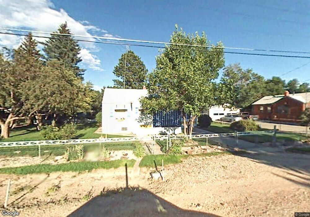
2013 S 3rd Ave Cheyenne, WY 82007
Estimated Value: $264,000 - $320,000
2
Beds
2
Baths
912
Sq Ft
$327/Sq Ft
Est. Value
About This Home
This home is located at 2013 S 3rd Ave, Cheyenne, WY 82007 and is currently estimated at $297,958, approximately $326 per square foot. 2013 S 3rd Ave is a home located in Laramie County with nearby schools including Rossman Elementary School, Johnson Junior High School, and South High School.
Ownership History
Date
Name
Owned For
Owner Type
Purchase Details
Closed on
Apr 29, 2009
Sold by
Barbe J Kenneth
Bought by
Blair Richard James
Current Estimated Value
Home Financials for this Owner
Home Financials are based on the most recent Mortgage that was taken out on this home.
Original Mortgage
$125,681
Outstanding Balance
$79,365
Interest Rate
4.84%
Mortgage Type
FHA
Estimated Equity
$218,593
Purchase Details
Closed on
Mar 27, 2002
Sold by
Harnish James R and Harnish Marnie M
Bought by
Harnish James R and Harnish Marnie M
Create a Home Valuation Report for This Property
The Home Valuation Report is an in-depth analysis detailing your home's value as well as a comparison with similar homes in the area
Purchase History
| Date | Buyer | Sale Price | Title Company |
|---|---|---|---|
| Blair Richard James | -- | None Available | |
| Harnish James R | -- | -- |
Source: Public Records
Mortgage History
| Date | Status | Borrower | Loan Amount |
|---|---|---|---|
| Open | Blair Richard James | $125,681 |
Source: Public Records
Tax History
| Year | Tax Paid | Tax Assessment Tax Assessment Total Assessment is a certain percentage of the fair market value that is determined by local assessors to be the total taxable value of land and additions on the property. | Land | Improvement |
|---|---|---|---|---|
| 2025 | $1,477 | $15,321 | $4,427 | $10,894 |
| 2024 | $1,477 | $19,657 | $5,902 | $13,755 |
| 2023 | $1,436 | $19,131 | $5,902 | $13,229 |
| 2022 | $1,295 | $16,897 | $5,902 | $10,995 |
| 2021 | $1,130 | $14,570 | $3,957 | $10,613 |
| 2020 | $1,054 | $13,962 | $3,957 | $10,005 |
| 2019 | $1,019 | $13,547 | $3,957 | $9,590 |
| 2018 | $975 | $13,084 | $3,957 | $9,127 |
| 2017 | $966 | $12,851 | $3,957 | $8,894 |
| 2016 | $894 | $11,889 | $1,945 | $9,944 |
| 2015 | $790 | $11,030 | $1,945 | $9,085 |
| 2014 | $767 | $10,704 | $1,791 | $8,913 |
Source: Public Records
Map
Nearby Homes
- 2108 S 4th Ave
- 916 Cherry St
- 1432 Hellwig Rd
- Tract 11 Badlands Dr
- Tract 9 Badlands Dr
- Tract 10 Badlands Dr
- 1407 Concerto Ln
- 903 Ballad Ln
- 2202 Draper Rd
- 1500 Richard Martin Dr
- Lot 5 Blk 2 Clear Creek Pkwy
- 1548 Richard Martin Dr
- 2316 Pine Ave
- 607 W Prosser Rd
- 1201 Melody Ln
- 2400 Helen Ave
- 1639 Elsie Jean Trail
- 1607 Elsie Jean Trail
- 1615 Elsie Jean Trail
- 1627 Elsie Jean Trail
Your Personal Tour Guide
Ask me questions while you tour the home.