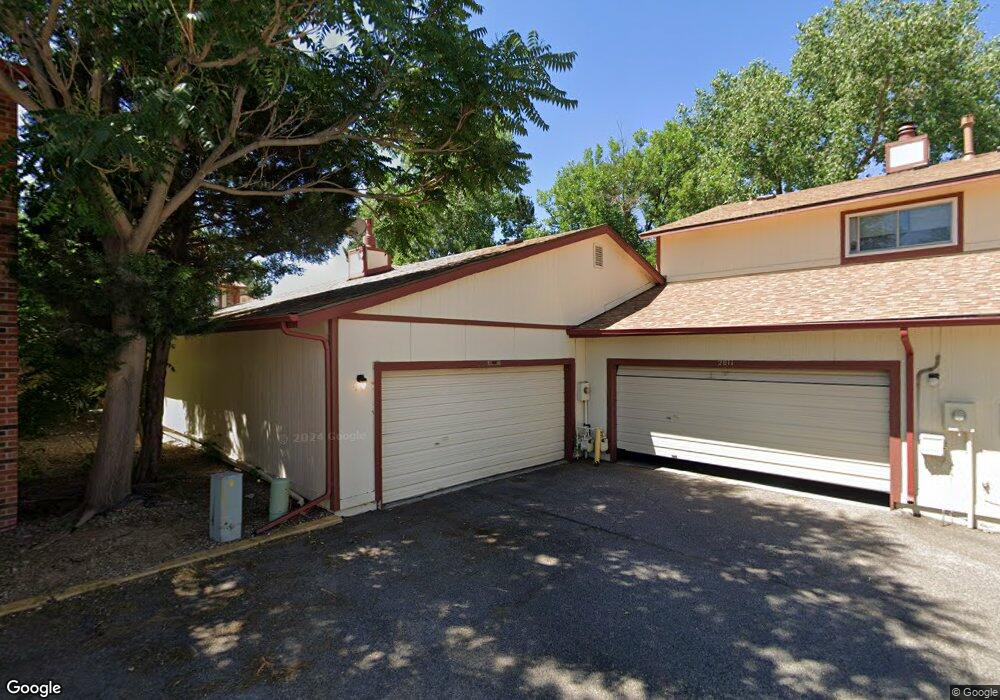
2013 W 102nd Ave Unit A Thornton, CO 80260
Estimated Value: $378,000 - $406,930
3
Beds
3
Baths
2,632
Sq Ft
$151/Sq Ft
Est. Value
About This Home
This home is located at 2013 W 102nd Ave Unit A, Thornton, CO 80260 and is currently estimated at $398,733, approximately $151 per square foot. 2013 W 102nd Ave Unit A is a home located in Adams County with nearby schools including Hillcrest Elementary School, Silver Hills Middle School, and Northglenn High School.
Ownership History
Date
Name
Owned For
Owner Type
Purchase Details
Closed on
Sep 25, 2018
Sold by
Hooveri Sean Allen
Bought by
Hoover Sean Allen and Zamora Richard L
Current Estimated Value
Purchase Details
Closed on
Apr 30, 2018
Sold by
Kandt Janet E
Bought by
Hoover Sean Allen
Home Financials for this Owner
Home Financials are based on the most recent Mortgage that was taken out on this home.
Original Mortgage
$316,167
Interest Rate
4.5%
Mortgage Type
FHA
Purchase Details
Closed on
Oct 27, 2011
Sold by
Harms Cynthia D
Bought by
Kandt Jane E
Home Financials for this Owner
Home Financials are based on the most recent Mortgage that was taken out on this home.
Original Mortgage
$97,500
Interest Rate
4.08%
Mortgage Type
New Conventional
Create a Home Valuation Report for This Property
The Home Valuation Report is an in-depth analysis detailing your home's value as well as a comparison with similar homes in the area
Home Values in the Area
Average Home Value in this Area
Purchase History
Date | Buyer | Sale Price | Title Company |
---|---|---|---|
Hoover Sean Allen | -- | Capital Title | |
Hoover Sean Allen | $322,000 | Guardian Title | |
Kandt Jane E | $130,000 | Multiple |
Source: Public Records
Mortgage History
Date | Status | Borrower | Loan Amount |
---|---|---|---|
Open | Hoover Sean Allen | $8,539 | |
Previous Owner | Hoover Sean Allen | $316,167 | |
Previous Owner | Kandt Jane E | $97,500 |
Source: Public Records
Tax History Compared to Growth
Tax History
Year | Tax Paid | Tax Assessment Tax Assessment Total Assessment is a certain percentage of the fair market value that is determined by local assessors to be the total taxable value of land and additions on the property. | Land | Improvement |
---|---|---|---|---|
2024 | $2,742 | $27,000 | $3,250 | $23,750 |
2023 | $2,742 | $29,230 | $3,520 | $25,710 |
2022 | $2,475 | $21,470 | $3,610 | $17,860 |
2021 | $2,558 | $21,470 | $3,610 | $17,860 |
2020 | $2,411 | $20,660 | $3,720 | $16,940 |
2019 | $2,415 | $20,660 | $3,720 | $16,940 |
2018 | $1,884 | $15,640 | $1,440 | $14,200 |
2017 | $1,716 | $15,640 | $1,440 | $14,200 |
2016 | $1,548 | $13,720 | $1,590 | $12,130 |
2015 | $1,546 | $13,720 | $1,590 | $12,130 |
2014 | $1,204 | $10,380 | $1,590 | $8,790 |
Source: Public Records
Map
Nearby Homes
- 2119 W 101st Cir
- 1945 W 102nd Ave
- 2012 W 101st Ave
- 2010 W 101st Ave
- 2016 W 101st Ave
- 10211 Ura Ln Unit 9-308
- 10211 Ura Ln Unit 104
- 10211 Ura Ln Unit 3-104
- 10211 Ura Ln Unit 1-202
- 10211 Ura Ln Unit 101
- 10211 Ura Ln Unit 2-207
- 10211 Ura Ln Unit 5-206
- 10211 Ura Ln Unit 7-204
- 10211 Ura Ln Unit 7-201
- 10211 Ura Ln Unit 8-207
- 1745 W 102nd Ave
- 10020 Bryant St
- 10248 Quivas St
- 2100 W 100th Ave Unit 499
- 2100 W 100th Ave Unit 394
- 2013 W 102nd Ave
- 2013 W 102nd Ave Unit A
- 2011 W 102nd Ave
- 2009 W 102nd Ave
- 2031 W 102nd Ave
- 2033 W 102nd Ave
- 2017 W 102nd Ave
- 2019 W 102nd Ave
- 2015 W 102nd Ave
- 2007 W 102nd Ave
- 2035 W 102nd Ave
- 2111 W 101st Cir
- 2037 W 102nd Ave
- 2005 W 102nd Ave
- 2003 W 102nd Ave
- 2001 W 102nd Ave
- 2105 W 101st Cir
- 2039 W 102nd Ave
- 2023 W 102nd Ave
- 2113 W 101st Cir