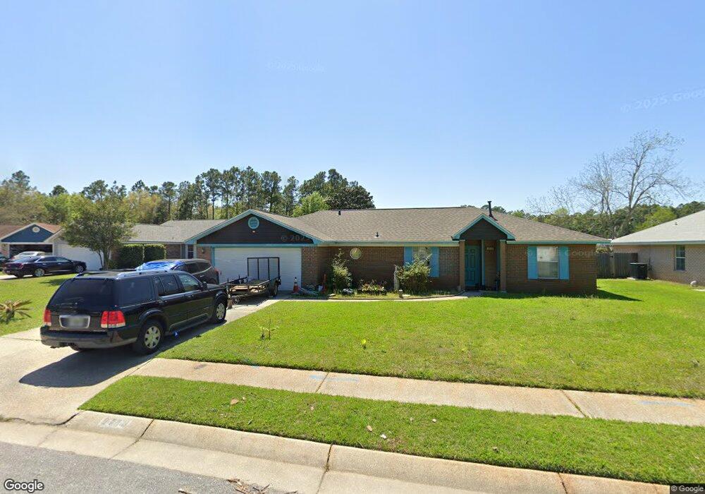
2013 W Indies Dr Pensacola, FL 32506
Southwest Pensacola NeighborhoodEstimated Value: $256,250 - $296,000
--
Bed
2
Baths
1,625
Sq Ft
$171/Sq Ft
Est. Value
About This Home
This home is located at 2013 W Indies Dr, Pensacola, FL 32506 and is currently estimated at $278,563, approximately $171 per square foot. 2013 W Indies Dr is a home located in Escambia County with nearby schools including Pleasant Grove Elementary School, Jim C. Bailey Middle School, and Escambia High School.
Ownership History
Date
Name
Owned For
Owner Type
Purchase Details
Closed on
Jun 1, 2016
Bought by
Landgraff Roselyn E
Current Estimated Value
Purchase Details
Closed on
May 4, 2004
Sold by
The Horn Family Trust
Bought by
Landgraff John A and Landgraff Roselyn E
Home Financials for this Owner
Home Financials are based on the most recent Mortgage that was taken out on this home.
Original Mortgage
$116,000
Interest Rate
8.15%
Mortgage Type
Purchase Money Mortgage
Purchase Details
Closed on
Nov 19, 2002
Sold by
Horn William L and Horn William
Bought by
Horn Family Tr
Create a Home Valuation Report for This Property
The Home Valuation Report is an in-depth analysis detailing your home's value as well as a comparison with similar homes in the area
Home Values in the Area
Average Home Value in this Area
Purchase History
| Date | Buyer | Sale Price | Title Company |
|---|---|---|---|
| Landgraff Roselyn E | $100 | -- | |
| Landgraff John A | $116,000 | Logan Title | |
| Horn Family Tr | -- | -- |
Source: Public Records
Mortgage History
| Date | Status | Borrower | Loan Amount |
|---|---|---|---|
| Previous Owner | Landgraff John A | $116,000 |
Source: Public Records
Tax History Compared to Growth
Tax History
| Year | Tax Paid | Tax Assessment Tax Assessment Total Assessment is a certain percentage of the fair market value that is determined by local assessors to be the total taxable value of land and additions on the property. | Land | Improvement |
|---|---|---|---|---|
| 2024 | $2,518 | $230,323 | $35,000 | $195,323 |
| 2023 | $2,518 | $165,999 | $0 | $0 |
| 2022 | $2,263 | $165,215 | $22,000 | $143,215 |
| 2021 | $2,255 | $152,597 | $0 | $0 |
| 2020 | $2,020 | $136,391 | $0 | $0 |
| 2019 | $1,950 | $130,116 | $0 | $0 |
| 2018 | $1,876 | $122,394 | $0 | $0 |
| 2017 | $1,790 | $113,751 | $0 | $0 |
| 2016 | $1,772 | $110,820 | $0 | $0 |
| 2015 | $1,716 | $106,981 | $0 | $0 |
| 2014 | $1,664 | $103,024 | $0 | $0 |
Source: Public Records
Map
Nearby Homes
- 9037 Cayman Ln
- 9900 Sorrento Rd
- 2028 Coral Creek Dr
- 9063 Caribbean Dr
- 2004 Coral St
- 9079 Caribbean Dr
- 1914 Coral Island Rd
- 9621 Sidney Rd
- 2430 Dog Track Rd
- 911 Vonna Jo Cir
- 940 Vonna Jo Cir
- 9850 N Loop Rd
- 2041 Marquesas Ln
- 9750 Brookstone Way
- 1978 Coral Reef Rd
- 1101 Antigua Cir
- 2257 Somerville Ct
- 1060 Antigua Cir
- The Alabaster Plan at Martin Preserve
- The Delilah Plan at Martin Preserve
- 2017 W Indies Dr
- 2009 W Indies Dr
- 141 Yucatan Dr
- W W Indies Dr
- 0 W Indies Dr
- 2021 W Indies Dr
- 2005 W Indies Dr
- 140 Yucatan Dr
- 2001 W Indies Dr
- 143 Yucatan Dr
- 2016 W Indies Dr
- 2012 W Indies Dr
- 2008 W Indies Dr
- 2000 W Indies Dr
- 2025 W Indies Dr
- 2004 W Indies Dr
- 9041 Caribbean Dr
- 145 Yucatan Dr
- 9025 Caribbean Dr
- 144 Yucatan Dr