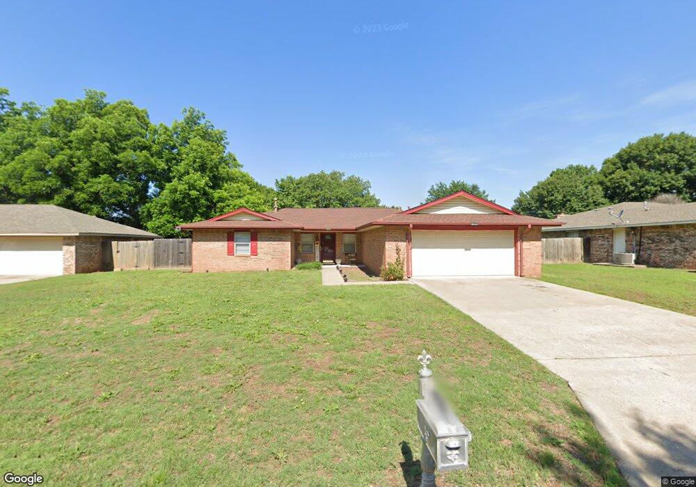
2013 Woodrock Dr Duncan, OK 73533
Estimated Value: $166,000 - $197,000
3
Beds
2
Baths
1,577
Sq Ft
$116/Sq Ft
Est. Value
About This Home
This home is located at 2013 Woodrock Dr, Duncan, OK 73533 and is currently estimated at $182,340, approximately $115 per square foot. 2013 Woodrock Dr is a home located in Stephens County with nearby schools including Horace Mann Elementary School, Duncan Middle School, and Duncan High School.
Ownership History
Date
Name
Owned For
Owner Type
Purchase Details
Closed on
Jul 2, 2021
Sold by
Lemons Donna
Bought by
Ward Daniel
Current Estimated Value
Purchase Details
Closed on
Aug 14, 2015
Sold by
Schornick Kristoffer and Schornick Melissa
Bought by
Lemons Donna
Purchase Details
Closed on
Jan 28, 2003
Sold by
Perkins Keith C
Bought by
Schornick Kristoffer and Schornick Elissa
Create a Home Valuation Report for This Property
The Home Valuation Report is an in-depth analysis detailing your home's value as well as a comparison with similar homes in the area
Home Values in the Area
Average Home Value in this Area
Purchase History
| Date | Buyer | Sale Price | Title Company |
|---|---|---|---|
| Ward Daniel | $134,000 | Stephens County Abstract Co | |
| Lemons Donna | $116,000 | None Available | |
| Schornick Kristoffer | $94,000 | -- |
Source: Public Records
Tax History Compared to Growth
Tax History
| Year | Tax Paid | Tax Assessment Tax Assessment Total Assessment is a certain percentage of the fair market value that is determined by local assessors to be the total taxable value of land and additions on the property. | Land | Improvement |
|---|---|---|---|---|
| 2025 | $1,360 | $15,509 | $1,077 | $14,432 |
| 2024 | $1,360 | $15,964 | $1,077 | $14,887 |
| 2023 | $1,360 | $15,204 | $1,077 | $14,127 |
| 2022 | $1,292 | $15,199 | $1,077 | $14,122 |
| 2021 | $1,027 | $12,069 | $1,077 | $10,992 |
| 2020 | $1,081 | $12,523 | $1,077 | $11,446 |
| 2019 | $1,048 | $12,115 | $1,077 | $11,038 |
| 2018 | $1,158 | $13,006 | $1,077 | $11,929 |
| 2017 | $1,068 | $12,428 | $1,077 | $11,351 |
| 2016 | $1,094 | $12,873 | $1,077 | $11,796 |
| 2015 | $863 | $11,211 | $1,077 | $10,134 |
| 2014 | $863 | $10,885 | $1,077 | $9,808 |
Source: Public Records
Map
Nearby Homes
- 2018 Woodrock Dr
- 1927 High Meadow Dr
- 1706 Windsor Dr
- 1829 1829 Terrace Dr
- 2403 Meadow View Dr
- 2360 Rockwell Dr
- 2321 Rockwell Dr
- 2129 W Mallard Dr
- 2201 W Club Rd
- 3990 N Ridgeview Dr
- 2110 W Club Rd
- 1601 1601 Pearl
- 28 Canterbury Ln
- 30 Canterbury Ln
- 2120 2120 Flamingo Ln
- 1404 1404 Ne Aspen
- 2203 Canary Ave
- 1527 1527 N 13th
- 2202 W Canary Ave
- 2814 2814 Springdale Ln
- 2013 2013 Woodrock
- 2017 Woodrock Dr
- 2009 Woodrock Dr
- 1919 Ridgeway Cir
- 1918 Ridgeway Cir
- 2005 Woodrock Dr
- 2021 2021 Woodrock Dr
- 2021 Woodrock Dr
- 2014 2014 Woodrock Dr
- 2018 2018 N Woodrock Dr
- 2010 Woodrock Dr
- 2014 Woodrock Dr
- 2025 Woodrock Dr
- 1915 Windsor Dr
- 2006 Woodrock Dr
- 2006 Woodrock Dr
- 2020 Woodrock Dr
- 1923 Ridgeway Cir
- 2001 Woodrock Dr
- 2001 Woodrock Dr