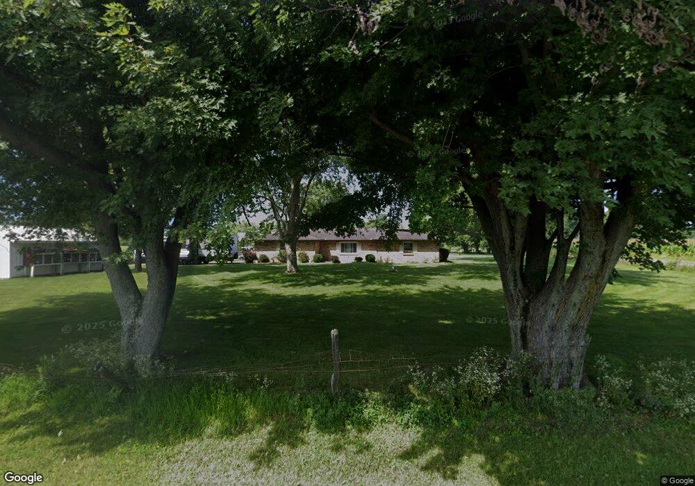
2013 Wysong Rd Unit 1 West Alexandria, OH 45381
Estimated Value: $269,000 - $321,000
3
Beds
2
Baths
1,448
Sq Ft
$205/Sq Ft
Est. Value
About This Home
This home is located at 2013 Wysong Rd Unit 1, West Alexandria, OH 45381 and is currently estimated at $297,109, approximately $205 per square foot. 2013 Wysong Rd Unit 1 is a home located in Preble County with nearby schools including Twin Valley South Elementary School, Twin Valley South Middle School, and Twin Valley South High School.
Ownership History
Date
Name
Owned For
Owner Type
Purchase Details
Closed on
Jun 20, 2007
Sold by
Dean Michael L and Reese Susan K
Bought by
Shewman Lonnie J and Shewman Angie M
Current Estimated Value
Home Financials for this Owner
Home Financials are based on the most recent Mortgage that was taken out on this home.
Original Mortgage
$175,000
Outstanding Balance
$107,140
Interest Rate
6.2%
Mortgage Type
VA
Estimated Equity
$189,969
Create a Home Valuation Report for This Property
The Home Valuation Report is an in-depth analysis detailing your home's value as well as a comparison with similar homes in the area
Home Values in the Area
Average Home Value in this Area
Purchase History
| Date | Buyer | Sale Price | Title Company |
|---|---|---|---|
| Shewman Lonnie J | $175,000 | Freedom Title Company Inc |
Source: Public Records
Mortgage History
| Date | Status | Borrower | Loan Amount |
|---|---|---|---|
| Open | Shewman Lonnie J | $175,000 |
Source: Public Records
Tax History Compared to Growth
Tax History
| Year | Tax Paid | Tax Assessment Tax Assessment Total Assessment is a certain percentage of the fair market value that is determined by local assessors to be the total taxable value of land and additions on the property. | Land | Improvement |
|---|---|---|---|---|
| 2024 | $2,438 | $66,850 | $17,010 | $49,840 |
| 2023 | $2,438 | $66,850 | $17,010 | $49,840 |
| 2022 | $2,133 | $54,080 | $15,680 | $38,400 |
| 2021 | $2,249 | $54,080 | $15,680 | $38,400 |
| 2020 | $2,123 | $54,080 | $15,680 | $38,400 |
| 2019 | $2,041 | $48,830 | $13,760 | $35,070 |
| 2018 | $2,102 | $48,830 | $13,760 | $35,070 |
| 2017 | $1,946 | $48,830 | $13,760 | $35,070 |
| 2016 | $1,789 | $45,640 | $13,370 | $32,270 |
| 2014 | $1,932 | $45,640 | $13,370 | $32,270 |
| 2013 | $1,932 | $45,640 | $13,370 | $32,270 |
Source: Public Records
Map
Nearby Homes
- 3191 Minnich Wysong Rd
- 1887 Bantas Creek Rd
- 1387 Bantas Creek Rd
- 1567 Eaton Lewisburg Rd
- 1148 State Route 503 N
- 104 Wildwood Dr
- 108 Wildwood Dr
- 1664 Redbud Ln
- 232 Goldenrod Dr
- 0 East Ave
- 86 Snapdragon Dr
- 126 Meadowbrook Dr
- 3659 Winston Ln
- 10 Western Dr
- The Heath House Plan at Meadowbrook Estates
- The Aspen House Plan at Meadowbrook Estates
- The Reed II House Plan at Meadowbrook Estates
- The Rowan House Plan at Meadowbrook Estates
- The Linden House Plan at Meadowbrook Estates
- The Sequoia House Plan at Meadowbrook Estates
- 0 Bantas Creek Rd Unit 435390
- 0 Bantas Creek Rd Unit 438844
- 0 Bantas Creek Rd Unit 469861
- 0 Bantas Creek Rd Unit 478405
- 0 Bantas Creek Rd Unit 1173179
- 0 Bantas Creek Rd Unit 1221017
- 0 Bantas Creek Rd Unit 845202
- 0 Bantas Creek Rd Unit 1708684
- 3272 Bantas Creek Rd
- 1899 Wysong Rd
- 2958 Bantas Creek Rd
- 1859 Wysong Rd
- 2873 Bantas Creek Rd
- 1683 Wysong Rd
- 1656 Wysong Rd
- 1603 Wysong Rd
- 1522 Wysong Rd
- 1489 Wysong Rd
- 1379 Wysong Rd
- 1356 Wysong Rd