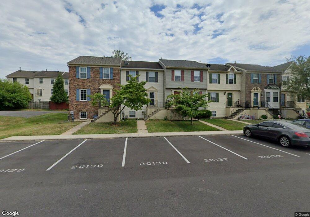
20130 Daniels Cir Hagerstown, MD 21742
Estimated Value: $211,063 - $225,000
--
Bed
2
Baths
1,120
Sq Ft
$196/Sq Ft
Est. Value
About This Home
This home is located at 20130 Daniels Cir, Hagerstown, MD 21742 and is currently estimated at $219,016, approximately $195 per square foot. 20130 Daniels Cir is a home located in Washington County with nearby schools including Ruth Ann Monroe Primary School, Eastern Elementary School, and E. Russell Hicks Middle School.
Ownership History
Date
Name
Owned For
Owner Type
Purchase Details
Closed on
Nov 8, 2023
Sold by
Chavez Crystal
Bought by
West Park Holdings Llc
Current Estimated Value
Purchase Details
Closed on
Mar 16, 1995
Sold by
Washington Homes Inc
Bought by
Portman Henry M
Home Financials for this Owner
Home Financials are based on the most recent Mortgage that was taken out on this home.
Original Mortgage
$72,000
Interest Rate
8.89%
Purchase Details
Closed on
Dec 30, 1992
Sold by
Talkin Richard B
Bought by
Washington Homes Inc
Create a Home Valuation Report for This Property
The Home Valuation Report is an in-depth analysis detailing your home's value as well as a comparison with similar homes in the area
Home Values in the Area
Average Home Value in this Area
Purchase History
| Date | Buyer | Sale Price | Title Company |
|---|---|---|---|
| West Park Holdings Llc | $125,000 | None Listed On Document | |
| Portman Henry M | $90,000 | -- | |
| Washington Homes Inc | $390,000 | -- |
Source: Public Records
Mortgage History
| Date | Status | Borrower | Loan Amount |
|---|---|---|---|
| Previous Owner | Portman Henry M | $72,000 |
Source: Public Records
Tax History Compared to Growth
Tax History
| Year | Tax Paid | Tax Assessment Tax Assessment Total Assessment is a certain percentage of the fair market value that is determined by local assessors to be the total taxable value of land and additions on the property. | Land | Improvement |
|---|---|---|---|---|
| 2025 | $1,330 | $154,367 | $0 | $0 |
| 2024 | $1,330 | $128,500 | $25,000 | $103,500 |
| 2023 | $1,218 | $117,600 | $0 | $0 |
| 2022 | $1,105 | $106,700 | $0 | $0 |
| 2021 | $1,007 | $95,800 | $25,000 | $70,800 |
| 2020 | $1,007 | $95,467 | $0 | $0 |
| 2019 | $1,008 | $95,133 | $0 | $0 |
| 2018 | $1,005 | $94,800 | $25,000 | $69,800 |
| 2017 | $1,005 | $94,800 | $0 | $0 |
| 2016 | -- | $94,800 | $0 | $0 |
| 2015 | -- | $99,500 | $0 | $0 |
| 2014 | $1,241 | $99,500 | $0 | $0 |
Source: Public Records
Map
Nearby Homes
- 20138 Daniels Cir
- 20205 Kellys Ln
- 20057 Rosebank Way
- 20040 Rosebank Way
- 20036 Rosebank Way
- 20045 Rosebank Way
- Poplar Plan at Rosebank
- 20023 Rosebank Way
- Caroline Plan at Rosebank
- 20037 Rosebank Way
- 11302 Robinwood Dr
- 20033 Rosebank Way
- 20035 Rosebank Way
- 20025 Rosebank Way
- LOT 9A Rosebank Way
- LOT 24A Rosebank Way
- LOT 5B Rosebank Way
- LOT 19B Rosebank Way
- LOT 5A Rosebank Way
- LOT 17B Rosebank Way
- 20132 Daniels Cir
- 20134 Daniels Cir
- 20136 Daniels Cir
- 20128 Daniels Cir
- 20140 Daniels Cir
- 20326 Kellys Ln
- 20142 Daniels Cir
- 20328 Kellys Ln
- 20330 Kellys Ln
- 20144 Daniels Cir
- 20332 Kellys Ln
- 20146 Daniels Cir
- 20334 Kellys Ln
- 20148 Daniels Cir
- 20120 Daniels Cir
- 20118 Daniels Cir
- 20116 Daniels Cir
- 20124 Daniels Cir
- 20126 Daniels Cir
- 20129 Daniels Cir