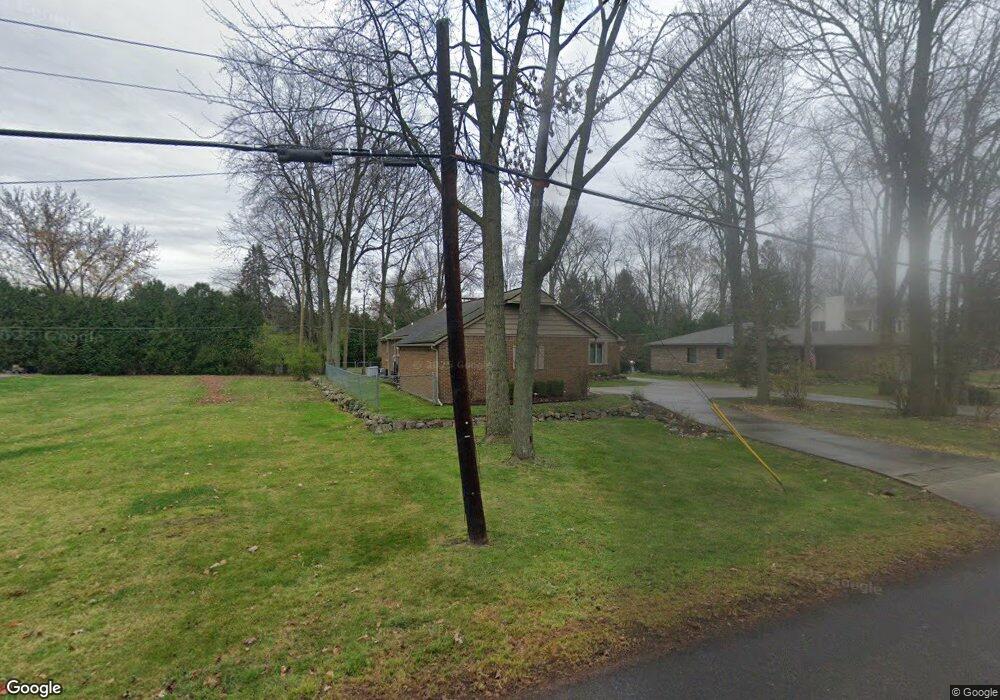
20130 Hubbard St Livonia, MI 48152
Estimated Value: $361,000 - $465,000
4
Beds
3
Baths
2,021
Sq Ft
$206/Sq Ft
Est. Value
About This Home
This home is located at 20130 Hubbard St, Livonia, MI 48152 and is currently estimated at $416,599, approximately $206 per square foot. 20130 Hubbard St is a home located in Wayne County with nearby schools including Clarenceville High School, St Paul's Lutheran School, and Concordia Lutheran School.
Ownership History
Date
Name
Owned For
Owner Type
Purchase Details
Closed on
Mar 3, 2025
Sold by
Kolar Nicole
Bought by
Kolar Nicole and Lynn Logan Joseph
Current Estimated Value
Purchase Details
Closed on
Sep 30, 2013
Sold by
Kolar Eileen P
Bought by
Kolar Eileen P and Eileen P Kolar Trust
Purchase Details
Closed on
Aug 18, 2003
Sold by
Kolar John
Bought by
Kolar Eileen P
Create a Home Valuation Report for This Property
The Home Valuation Report is an in-depth analysis detailing your home's value as well as a comparison with similar homes in the area
Home Values in the Area
Average Home Value in this Area
Purchase History
| Date | Buyer | Sale Price | Title Company |
|---|---|---|---|
| Kolar Nicole | -- | None Listed On Document | |
| Kolar Nicole | -- | None Listed On Document | |
| Kolar Nicole H | -- | None Listed On Document | |
| Kolar Nicole H | -- | None Listed On Document | |
| Kolar Eileen P | -- | None Available | |
| Kolar Eileen P | -- | Rj Title |
Source: Public Records
Tax History Compared to Growth
Tax History
| Year | Tax Paid | Tax Assessment Tax Assessment Total Assessment is a certain percentage of the fair market value that is determined by local assessors to be the total taxable value of land and additions on the property. | Land | Improvement |
|---|---|---|---|---|
| 2025 | $2,429 | $208,700 | $0 | $0 |
| 2024 | $2,429 | $199,400 | $0 | $0 |
| 2023 | $2,321 | $176,600 | $0 | $0 |
| 2022 | $3,857 | $157,700 | $0 | $0 |
| 2021 | $3,755 | $151,200 | $0 | $0 |
| 2019 | $3,658 | $142,100 | $0 | $0 |
| 2018 | $2,012 | $132,300 | $0 | $0 |
| 2017 | $3,044 | $117,000 | $0 | $0 |
| 2016 | $3,447 | $117,000 | $0 | $0 |
| 2015 | $9,067 | $106,580 | $0 | $0 |
| 2012 | -- | $88,200 | $22,550 | $65,650 |
Source: Public Records
Map
Nearby Homes
- 20133 Osmus St
- 32038 Pembroke St
- 31502 Merriwood Park Dr Unit 32
- 19647 Osmus St
- 32805 Fargo St
- 32965 Fargo St
- 19443 Auburndale St
- 31419 Fairfax St
- 19436 Donna St
- 33155 Meadowlark St
- 30947 Kenwood Ct
- 20221 Sunset St
- 20215 Sunset St
- 20257 Sunset St
- 21185 Osmus St
- 21256 Birchwood St
- 19292 Farmington Rd
- 19288 Farmington Rd
- 19250 Farmington Rd
- 33769 Pondview Cir Unit 59
- 20104 Hubbard St
- 32367 Norfolk St
- 32335 Norfolk St
- 20102 Hubbard St
- 20111 Parker St
- 20100 Hubbard St
- 32235 Norfolk St
- 20105 Hubbard St
- 20173 Hubbard St
- 20206 Hubbard St
- 20151 Hubbard St
- 20040 Hubbard St
- 20133 Parker St
- 32336 Norfolk St
- 20085 Hubbard St
- 20065 Hubbard St
- 32221 Norfolk St
- 20095 Parker St
- 20020 Hubbard St
- 20298 Hubbard St