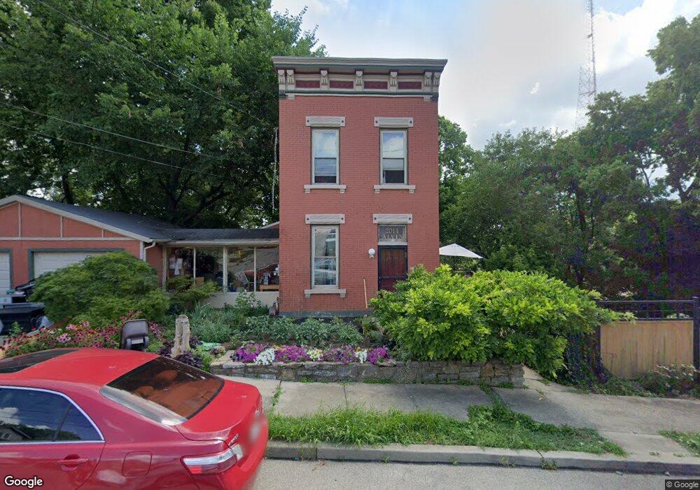
2014 Alvin St Cincinnati, OH 45219
Mount Auburn NeighborhoodEstimated Value: $194,451 - $319,000
2
Beds
2
Baths
1,788
Sq Ft
$135/Sq Ft
Est. Value
About This Home
This home is located at 2014 Alvin St, Cincinnati, OH 45219 and is currently estimated at $241,363, approximately $134 per square foot. 2014 Alvin St is a home located in Hamilton County with nearby schools including William H. Taft Elementary School, Robert A. Taft Information Technology High School, and Gilbert A. Dater High School.
Ownership History
Date
Name
Owned For
Owner Type
Purchase Details
Closed on
Jul 6, 2009
Sold by
Fannie Mae
Bought by
Gay Michael A
Current Estimated Value
Purchase Details
Closed on
Jun 10, 2009
Sold by
Springer Marvin L
Bought by
Fanniemae and Federal National Mortgage Association
Purchase Details
Closed on
Dec 13, 1996
Sold by
Snyder Michael R and Fraembs Darah M
Bought by
Springer Marvin L
Home Financials for this Owner
Home Financials are based on the most recent Mortgage that was taken out on this home.
Original Mortgage
$49,335
Interest Rate
7.85%
Mortgage Type
FHA
Create a Home Valuation Report for This Property
The Home Valuation Report is an in-depth analysis detailing your home's value as well as a comparison with similar homes in the area
Home Values in the Area
Average Home Value in this Area
Purchase History
| Date | Buyer | Sale Price | Title Company |
|---|---|---|---|
| Gay Michael A | $10,000 | Attorney | |
| Fanniemae | $44,000 | Attorney | |
| Springer Marvin L | $48,500 | -- |
Source: Public Records
Mortgage History
| Date | Status | Borrower | Loan Amount |
|---|---|---|---|
| Previous Owner | Springer Marvin L | $49,335 |
Source: Public Records
Tax History
| Year | Tax Paid | Tax Assessment Tax Assessment Total Assessment is a certain percentage of the fair market value that is determined by local assessors to be the total taxable value of land and additions on the property. | Land | Improvement |
|---|---|---|---|---|
| 2025 | $2,646 | $41,573 | $11,340 | $30,233 |
| 2024 | $2,642 | $41,573 | $11,340 | $30,233 |
| 2023 | $2,647 | $41,573 | $11,340 | $30,233 |
| 2022 | $1,529 | $21,512 | $6,465 | $15,047 |
| 2021 | $1,499 | $21,512 | $6,465 | $15,047 |
| 2020 | $1,503 | $21,512 | $6,465 | $15,047 |
| 2019 | $1,449 | $18,869 | $5,670 | $13,199 |
| 2018 | $1,450 | $18,869 | $5,670 | $13,199 |
| 2017 | $1,396 | $18,869 | $5,670 | $13,199 |
| 2016 | $435 | $5,643 | $4,988 | $655 |
| 2015 | $389 | $5,643 | $4,988 | $655 |
| 2014 | $391 | $5,643 | $4,988 | $655 |
| 2013 | $383 | $5,425 | $4,795 | $630 |
Source: Public Records
Map
Nearby Homes
- 2014 Highland Ave
- 336 Dorchester Ave
- 2117 Highland Ave
- 224 Dorchester Ave
- 1948 Bigelow St
- 1944 Bigelow St
- 1940 Bigelow St
- 1938 Bigelow St
- 1942 Bigelow St
- 1946 Bigelow St
- 540 Slack St
- 548 Slack St
- 2207 Burnet Ave
- 2213 Highland Ave
- 1883 Walker St
- 164 Dorchester Ave
- 152 Dorchester Ave
- 1863 Walker St
- 436 Boal St
- 420 Boal St
- 2013 Highland Ave
- 2015 Highland Ave
- 2006 Alvin St Unit 1
- 2006 Alvin St
- 2009 Highland Ave
- 2019 Highland Ave
- 297 Bodmann Ave
- 299 Bodmann Ave
- 2001 Highland Ave
- 294 Bodmann Ave
- 2021 Highland Ave
- 2000 Alvin St
- 2023 Highland Ave
- 2030 Alvin St
- 293 Bodmann Ave
- 290 Dorchester Ave
- 2027 Highland Ave
- 2029 Alvin St
- 286 Bodmann Ave
- 288 Dorchester Ave
Your Personal Tour Guide
Ask me questions while you tour the home.