2014 Flourmill Ct Crownsville, MD 21032
Estimated Value: $1,671,000 - $2,044,000
--
Bed
6
Baths
6,725
Sq Ft
$271/Sq Ft
Est. Value
About This Home
This home is located at 2014 Flourmill Ct, Crownsville, MD 21032 and is currently estimated at $1,825,407, approximately $271 per square foot. 2014 Flourmill Ct is a home located in Anne Arundel County with nearby schools including Millersville Elementary School and Old Mill High School.
Ownership History
Date
Name
Owned For
Owner Type
Purchase Details
Closed on
Mar 11, 2015
Sold by
Airey Ronald M and Airey Joyce Hayes
Bought by
Ronald M Airey Living Trust and Airey Joyce H
Current Estimated Value
Purchase Details
Closed on
Oct 17, 2005
Sold by
Nvr Inc
Bought by
Airey Ronald M and Airey Joyce Hayes
Home Financials for this Owner
Home Financials are based on the most recent Mortgage that was taken out on this home.
Original Mortgage
$1,000,000
Outstanding Balance
$517,931
Interest Rate
5.25%
Mortgage Type
Adjustable Rate Mortgage/ARM
Estimated Equity
$1,307,476
Create a Home Valuation Report for This Property
The Home Valuation Report is an in-depth analysis detailing your home's value as well as a comparison with similar homes in the area
Home Values in the Area
Average Home Value in this Area
Purchase History
| Date | Buyer | Sale Price | Title Company |
|---|---|---|---|
| Ronald M Airey Living Trust | -- | None Available | |
| Airey Ronald M | $1,653,023 | -- |
Source: Public Records
Mortgage History
| Date | Status | Borrower | Loan Amount |
|---|---|---|---|
| Open | Airey Ronald M | $1,000,000 |
Source: Public Records
Tax History Compared to Growth
Tax History
| Year | Tax Paid | Tax Assessment Tax Assessment Total Assessment is a certain percentage of the fair market value that is determined by local assessors to be the total taxable value of land and additions on the property. | Land | Improvement |
|---|---|---|---|---|
| 2025 | $16,071 | $1,549,500 | -- | -- |
| 2024 | $16,071 | $1,407,300 | $0 | $0 |
| 2023 | $14,442 | $1,265,100 | $217,900 | $1,047,200 |
| 2022 | $13,659 | $1,251,600 | $0 | $0 |
| 2021 | $13,518 | $1,238,100 | $0 | $0 |
| 2020 | $13,346 | $1,224,600 | $237,900 | $986,700 |
| 2019 | $13,358 | $1,224,600 | $237,900 | $986,700 |
| 2018 | $12,417 | $1,224,600 | $237,900 | $986,700 |
| 2017 | $13,960 | $1,318,200 | $0 | $0 |
| 2016 | -- | $1,283,633 | $0 | $0 |
| 2015 | -- | $1,249,067 | $0 | $0 |
| 2014 | -- | $1,214,500 | $0 | $0 |
Source: Public Records
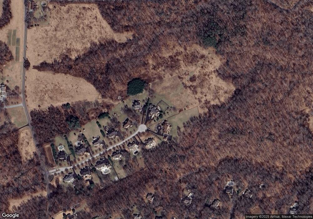
Map
Nearby Homes
- 1500 Cheltenham Ct E
- 1603 Huntcliff Way
- 621 Wood Lot Trail Rd
- 2545 Lavall Ct
- 2415 Pebblebrook Ct
- 2002 Huntwood Dr
- 2033 Huntwood Dr
- 2034 Huntwood Dr
- 934 Chesterfield Rd
- 1306 Lavall Dr
- 1907 Mackiebeth Ct
- 2057 Liza Way
- 2612 Quiet Water Cove Unit 24
- 1909 Eleanor Ct
- 1909 Marconi Cir
- 1007 Boom Ct
- 932 Riversedge Cir
- 2577 Rutland Rd
- 1012 Mastline Dr
- 2828 Berth Ct
- 2012 Flourmill Ct
- 2015 Flourmill Ct
- 2008 Flourmill Ct
- 2013 Flourmill Ct
- 2011 Flourmill Ct
- 2006 Flourmill Ct
- 2009 Flourmill Ct
- 2004 Flourmill Ct
- 2007 Flourmill Ct
- 2002 Flourmill Ct
- 2024 Haverford Dr
- 2005 Flourmill Ct
- 2018 Haverford Dr
- 2000 Flourmill Ct
- 2026 Haverford Dr
- 2022 Haverford Dr
- 2003 Flourmill Ct
- 2012 Haverford Dr
- 2020 Haverford Dr
- 2010 Haverford Dr