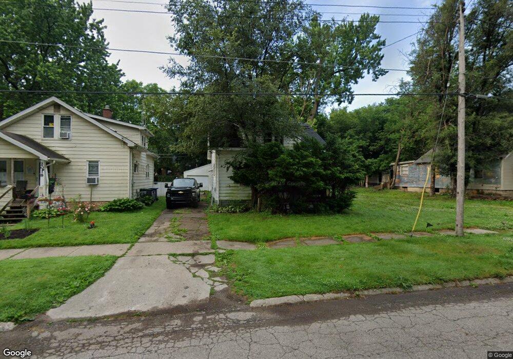
2014 Kentucky Ave Flint, MI 48506
Eastside NeighborhoodEstimated Value: $30,000 - $68,000
3
Beds
1
Bath
936
Sq Ft
$52/Sq Ft
Est. Value
About This Home
This home is located at 2014 Kentucky Ave, Flint, MI 48506 and is currently estimated at $49,000, approximately $52 per square foot. 2014 Kentucky Ave is a home located in Genesee County with nearby schools including Potter School, Flint Cultural Center Academy, and WAY Academy of Flint.
Ownership History
Date
Name
Owned For
Owner Type
Purchase Details
Closed on
Dec 20, 2016
Sold by
Cherry Deborah L
Bought by
Genesee County Land Bank
Current Estimated Value
Purchase Details
Closed on
Feb 22, 2005
Sold by
The Land Trust Of 2014 Kentucky
Bought by
Caruso Lisa R
Purchase Details
Closed on
Jan 12, 2004
Sold by
Caruso Lisa R
Bought by
Burgess Jason Anthony and Land Trust Of 2014 Kentucky
Purchase Details
Closed on
May 28, 2003
Sold by
Scott Leslie and Priebe Mona J
Bought by
Household Finance
Create a Home Valuation Report for This Property
The Home Valuation Report is an in-depth analysis detailing your home's value as well as a comparison with similar homes in the area
Home Values in the Area
Average Home Value in this Area
Purchase History
| Date | Buyer | Sale Price | Title Company |
|---|---|---|---|
| Genesee County Land Bank | -- | None Available | |
| Caruso Lisa R | -- | Sargents Title Company | |
| Burgess Jason Anthony | -- | -- | |
| Household Finance | $22,724 | -- |
Source: Public Records
Tax History Compared to Growth
Tax History
| Year | Tax Paid | Tax Assessment Tax Assessment Total Assessment is a certain percentage of the fair market value that is determined by local assessors to be the total taxable value of land and additions on the property. | Land | Improvement |
|---|---|---|---|---|
| 2025 | -- | $0 | $0 | $0 |
| 2024 | -- | $0 | $0 | $0 |
| 2023 | -- | $0 | $0 | $0 |
| 2022 | $0 | $0 | $0 | $0 |
| 2021 | $0 | $0 | $0 | $0 |
| 2020 | $0 | $0 | $0 | $0 |
| 2019 | $801 | $0 | $0 | $0 |
| 2018 | $221 | $0 | $0 | $0 |
| 2017 | $221 | $0 | $0 | $0 |
| 2016 | $801 | $0 | $0 | $0 |
| 2015 | -- | $0 | $0 | $0 |
| 2014 | -- | $0 | $0 | $0 |
| 2012 | -- | $11,500 | $0 | $0 |
Source: Public Records
Map
Nearby Homes
- 1318 Cronk Ave
- 1501 Arlington Ave
- 2301 Missouri Ave
- 1510 N Vernon Ave
- 1220 Minnesota Ave
- 1622 Arlington Ave
- 2426 Missouri Ave
- 1644 Pennsylvania Ave
- 2605 Nebraska Ave
- 1605 Kearsley Park Blvd
- 2610 Pennsylvania Ave
- 301 Chandler St
- 1612 Iowa Ave
- 406 S Lynch St
- 1445 Kearsley Park Kearsley Park
- 524 S Lynch St
- 1805 Bennett Ave
- 605 S Lynch St
- 2131 Windemere Ave
- 1814 Mabel Ave
- 2010 Kentucky Ave
- 2018 Kentucky Ave
- 2006 Kentucky Ave
- 2022 Kentucky Ave
- 2009 Nebraska Ave
- 2013 Nebraska Ave
- 2005 Nebraska Ave
- 2102 Kentucky Ave
- 2001 Nebraska Ave
- 2017 Nebraska Ave
- 1925 Nebraska Ave
- 1922 Kentucky Ave
- 2021 Nebraska Ave
- 2106 Kentucky Ave
- 2013 Kentucky Ave
- 2017 Kentucky Ave
- 2005 Kentucky Ave
- 2021 Kentucky Ave
- 1921 Nebraska Ave
- 2101 Nebraska Ave