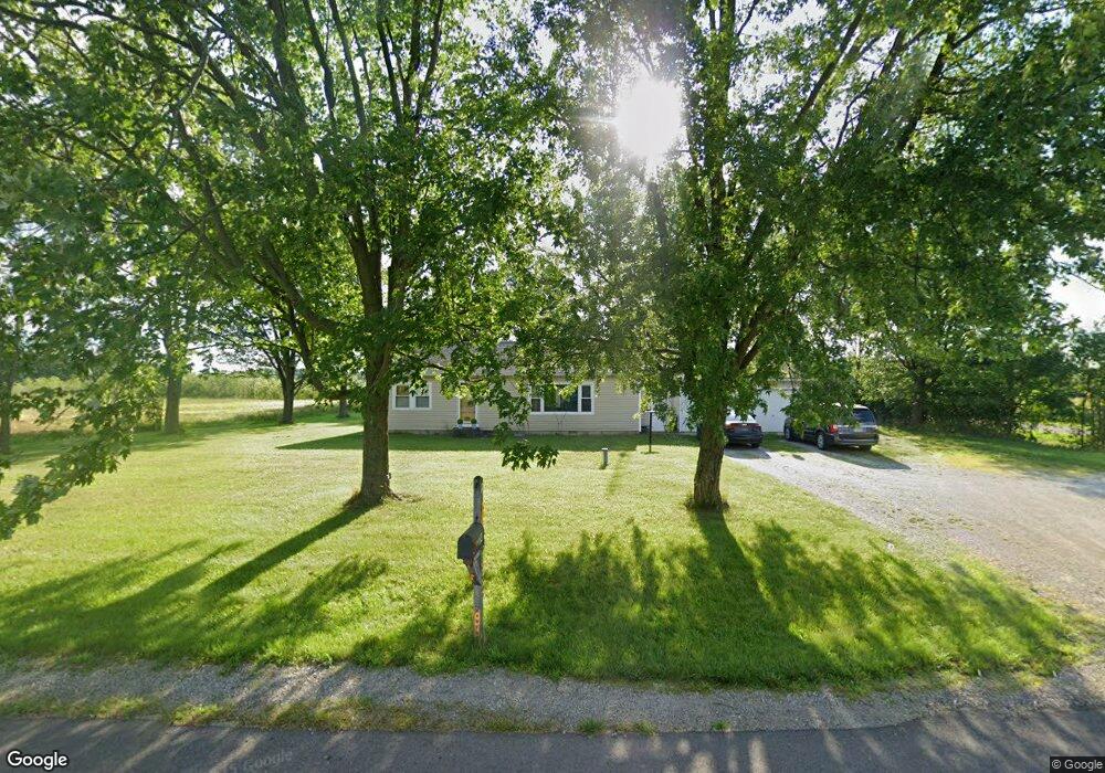
2014 N State Route 66 Defiance, OH 43512
Estimated Value: $103,000 - $206,000
2
Beds
1
Bath
1,232
Sq Ft
$127/Sq Ft
Est. Value
About This Home
This home is located at 2014 N State Route 66, Defiance, OH 43512 and is currently estimated at $156,937, approximately $127 per square foot. 2014 N State Route 66 is a home located in Defiance County with nearby schools including Tinora Elementary School, Noble Elementary School, and Tinora Middle School.
Ownership History
Date
Name
Owned For
Owner Type
Purchase Details
Closed on
Oct 5, 2005
Sold by
Sprow Dale L and Sprow Lori
Bought by
Frazier Claude
Current Estimated Value
Home Financials for this Owner
Home Financials are based on the most recent Mortgage that was taken out on this home.
Original Mortgage
$80,000
Outstanding Balance
$42,981
Interest Rate
5.82%
Mortgage Type
Future Advance Clause Open End Mortgage
Estimated Equity
$113,956
Create a Home Valuation Report for This Property
The Home Valuation Report is an in-depth analysis detailing your home's value as well as a comparison with similar homes in the area
Home Values in the Area
Average Home Value in this Area
Purchase History
| Date | Buyer | Sale Price | Title Company |
|---|---|---|---|
| Frazier Claude | $60,000 | None Available |
Source: Public Records
Mortgage History
| Date | Status | Borrower | Loan Amount |
|---|---|---|---|
| Open | Frazier Claude | $80,000 |
Source: Public Records
Tax History Compared to Growth
Tax History
| Year | Tax Paid | Tax Assessment Tax Assessment Total Assessment is a certain percentage of the fair market value that is determined by local assessors to be the total taxable value of land and additions on the property. | Land | Improvement |
|---|---|---|---|---|
| 2024 | $997 | $28,690 | $5,160 | $23,530 |
| 2023 | $997 | $28,690 | $5,160 | $23,530 |
| 2022 | $883 | $21,050 | $4,820 | $16,230 |
| 2021 | $883 | $21,050 | $4,820 | $16,230 |
| 2020 | $871 | $21,050 | $4,820 | $16,230 |
| 2019 | $765 | $18,620 | $4,870 | $13,750 |
| 2018 | $773 | $18,620 | $4,870 | $13,750 |
| 2017 | $377 | $18,620 | $4,872 | $13,748 |
| 2016 | $754 | $19,751 | $4,872 | $14,879 |
| 2015 | -- | $19,751 | $4,872 | $14,879 |
| 2014 | -- | $17,273 | $4,872 | $12,401 |
| 2013 | -- | $17,273 | $4,872 | $12,401 |
| 2012 | -- | $17,273 | $4,872 | $12,401 |
Source: Public Records
Map
Nearby Homes
- 22681 Gares Rd
- 26825 Behrens Rd
- 6909 Ohio 66
- 0 Saint Rt 66
- 29232 Coressel Rd
- 20401 U S 6
- 4120 Misty Shores Rd
- 5065 County Road 20-50
- 19972 County Road X
- 19950 County Road X
- 6767 Independence Rd
- 2169 Hawthorne Dr
- 209 Hawthorn Dr
- 108 E Church St
- 20975 Buckskin Rd
- 4532 County Road 19
- 4906 Flickinger Rd
- 301 Horton St
- 305 W Mulberry St
- 27600 Jewell Rd
- 0 US St Rt 66 Unit 5081736
- 0 US St Rt 66 Unit 4612936
- 0 US St Rt 66 Unit 4624520
- 1903 N State Route 66
- 24210 Nagel Rd
- 24181 Nagel Rd
- 23728 Nagel Rd
- 2256 N State Route 66
- 2256 Ohio 66
- 1666 N St Rt 66-Lot 42 Green Acres
- 2366 N State Route 66
- 2383 N State Route 66
- 24254 Nagel Rd
- 2444 Ohio 66
- 23839 Hockman Rd
- 24389 Nagel Rd
- 23447 Nagel Rd
- 23970 Hockman Rd
- 2623 N State Route 66
- 24470 Nagel Rd