2014 Oak Cir Humboldt, IA 50548
Estimated Value: $291,979 - $412,000
2
Beds
4
Baths
2,030
Sq Ft
$181/Sq Ft
Est. Value
About This Home
This home is located at 2014 Oak Cir, Humboldt, IA 50548 and is currently estimated at $366,495, approximately $180 per square foot. 2014 Oak Cir is a home located in Webster County with nearby schools including Manson Northwest Webster Elementary School and Manson Northwest Webster Junior/Senior High School.
Ownership History
Date
Name
Owned For
Owner Type
Purchase Details
Closed on
Sep 29, 2023
Sold by
Sturm Angel L
Bought by
Angel L Sturm Revocable Trust and Sturm
Current Estimated Value
Purchase Details
Closed on
Jan 17, 2022
Sold by
Troy Waller
Bought by
Sturm Angel L
Purchase Details
Closed on
Jun 6, 2013
Sold by
Waller Michelle Lynn
Bought by
Waller Troy William
Create a Home Valuation Report for This Property
The Home Valuation Report is an in-depth analysis detailing your home's value as well as a comparison with similar homes in the area
Purchase History
| Date | Buyer | Sale Price | Title Company |
|---|---|---|---|
| Angel L Sturm Revocable Trust | -- | None Listed On Document | |
| Sturm Angel L | -- | None Listed On Document | |
| Waller Troy William | -- | None Available |
Source: Public Records
Tax History
| Year | Tax Paid | Tax Assessment Tax Assessment Total Assessment is a certain percentage of the fair market value that is determined by local assessors to be the total taxable value of land and additions on the property. | Land | Improvement |
|---|---|---|---|---|
| 2025 | $3,036 | $288,600 | $48,900 | $239,700 |
| 2024 | $3,036 | $268,550 | $40,300 | $228,250 |
| 2023 | $2,964 | $268,550 | $40,300 | $228,250 |
| 2022 | $2,754 | $239,450 | $40,300 | $199,150 |
| 2021 | $2,842 | $239,450 | $40,300 | $199,150 |
| 2020 | $2,842 | $236,070 | $40,300 | $195,770 |
| 2019 | $2,482 | $234,270 | $44,330 | $189,940 |
| 2018 | $2,466 | $203,880 | $40,300 | $163,580 |
| 2017 | $2,466 | $191,290 | $0 | $0 |
| 2016 | $2,334 | $191,290 | $0 | $0 |
| 2015 | $2,334 | $191,290 | $0 | $0 |
| 2014 | $2,312 | $191,290 | $0 | $0 |
Source: Public Records
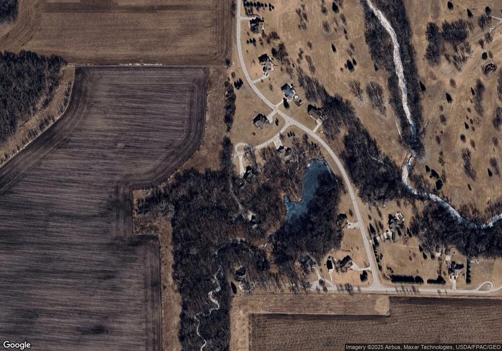
Map
Nearby Homes
- 2244 141st St
- 2194 160th St
- 420 E Front St
- 2745 Lone Tree Rd
- 735 28th Ave N
- Hoveys 3rd Lot 14
- 1527 28th Ave N
- Parcel 0613352005
- 1040 25th Ave N
- 2625 Woodland Dr
- 2731 N 13th Place
- 114 6th St SE
- 1113 25th Ave N
- 507 1st Ave NE
- 113 6th St SE
- 1316 26th Ave N
- 1605 Rolling Hills Dr
- 702 2nd St NW
- 2213 Williams Dr
- 1721 River Forest Dr
- 2016 Oak Cir
- 2012 Oak Cir
- 1333 Deer Creek Dr
- 1336 Deercreek Dr
- 1332 Deer Creek Dr
- 1341 Deercreek Dr
- 2015 Deer Run
- 2013 Deer Run
- 1328 Deer Creek Dr
- 1328 Deercreek Dr
- 1353 Deercreek Dr
- 1322 Deer Creek Dr
- 1322 Deer Creek
- 1322 Deercreek Dr
- 1350 Deercreek Dr
- 1318 Deercreek Dr
- 2027 Deer Run
- 2027 Deercreek Dr
- 1303 Deer Creek Dr
- 2031 Deer Run
Your Personal Tour Guide
Ask me questions while you tour the home.