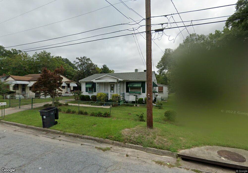
2014 Randall Rd Augusta, GA 30904
Pendleton King NeighborhoodEstimated Value: $106,000 - $133,000
2
Beds
2
Baths
871
Sq Ft
$130/Sq Ft
Est. Value
About This Home
This home is located at 2014 Randall Rd, Augusta, GA 30904 and is currently estimated at $113,454, approximately $130 per square foot. 2014 Randall Rd is a home located in Richmond County with nearby schools including Monte Sano Elementary School, Johnson Magnet, and Langford Middle School.
Ownership History
Date
Name
Owned For
Owner Type
Purchase Details
Closed on
Apr 28, 2005
Sold by
Mcrae Edward H
Bought by
Mcrae Edward H and Mcrae Guadalupe F
Current Estimated Value
Purchase Details
Closed on
Oct 31, 1991
Sold by
Housing & Urban Dev
Bought by
Mcrae Edward H
Purchase Details
Closed on
Jul 1, 1988
Sold by
Schriner Dorothy Virginia Mantz By Atty
Bought by
Williams Valarie D
Create a Home Valuation Report for This Property
The Home Valuation Report is an in-depth analysis detailing your home's value as well as a comparison with similar homes in the area
Home Values in the Area
Average Home Value in this Area
Purchase History
| Date | Buyer | Sale Price | Title Company |
|---|---|---|---|
| Mcrae Edward H | -- | -- | |
| Mcrae Edward H | $25,000 | -- | |
| Williams Valarie D | $30,900 | -- |
Source: Public Records
Tax History Compared to Growth
Tax History
| Year | Tax Paid | Tax Assessment Tax Assessment Total Assessment is a certain percentage of the fair market value that is determined by local assessors to be the total taxable value of land and additions on the property. | Land | Improvement |
|---|---|---|---|---|
| 2024 | $634 | $34,784 | $5,200 | $29,584 |
| 2023 | $634 | $45,808 | $5,200 | $40,608 |
| 2022 | $543 | $23,015 | $5,200 | $17,815 |
| 2021 | $498 | $17,981 | $5,200 | $12,781 |
| 2020 | $559 | $22,012 | $8,000 | $14,012 |
| 2019 | $576 | $22,012 | $8,000 | $14,012 |
| 2018 | $579 | $22,012 | $8,000 | $14,012 |
| 2017 | $579 | $22,012 | $8,000 | $14,012 |
| 2016 | $579 | $22,012 | $8,000 | $14,012 |
| 2015 | $579 | $22,012 | $8,000 | $14,012 |
| 2014 | $855 | $20,197 | $8,000 | $12,197 |
Source: Public Records
Map
Nearby Homes
- 1516 Heard Ave
- 2001 Hiram Rd
- 1618 Princeton Ln
- 1605 Bryn Mawr Ave
- 1506 Myrtle Ln
- 2028 Wharton Dr
- 1436 Heard Ave
- 1422 Heard Ave
- 1703 Holly Hill Rd
- 1720 Cornell Dr
- 1823 Wrightsboro Rd
- 1802 Wilson Place
- 1409 Maddox St
- 2014 Richmond Ave
- 1533 Wooten Rd
- 1834 Woodrow St
- 1437 Troupe St
- 1729 Oak Dr
- 1435 Troupe St
- 1613 Kissingbower Rd
- 2016 Randall Rd
- 2012 Randall Rd
- 2010 Randall Rd
- 2018 Randall Rd
- 2020 Randall Rd
- 2006 Randall Rd
- 2022 Randall Rd
- 2007 Randall Rd
- 1616 Heard Ave
- 2004 Randall Rd
- 2005 Randall Rd
- 1622 Heard Ave
- 1620 Heard Ave
- 1624 Heard Ave
- 2010 Lanier Dr
- 2003 Randall Rd
- 2012 Lanier Dr
- 2008 Lanier Dr
- 1618 Heard Ave
- 2002 Randall Rd