Estimated Value: $507,000 - $591,651
4
Beds
4
Baths
4,000
Sq Ft
$139/Sq Ft
Est. Value
About This Home
This home is located at 2014 S High Ridge, Nixa, MO 65714 and is currently estimated at $554,163, approximately $138 per square foot. 2014 S High Ridge is a home located in Christian County with nearby schools including Mathews Elementary School, Queens Gateway to Health Sciences Secondary School, and Nicholas A. Inman Intermediate School.
Ownership History
Date
Name
Owned For
Owner Type
Purchase Details
Closed on
Feb 8, 2022
Sold by
Chandler and Sandra
Bought by
Chandler Gary and Chandler Sandra
Current Estimated Value
Purchase Details
Closed on
Apr 11, 2014
Sold by
Snb L L C
Bought by
Edwards Steven F and Edwards Julie C
Home Financials for this Owner
Home Financials are based on the most recent Mortgage that was taken out on this home.
Original Mortgage
$183,000
Interest Rate
4.43%
Mortgage Type
New Conventional
Purchase Details
Closed on
Mar 1, 2007
Sold by
Smith Rebecca L
Bought by
Snb Llc
Create a Home Valuation Report for This Property
The Home Valuation Report is an in-depth analysis detailing your home's value as well as a comparison with similar homes in the area
Home Values in the Area
Average Home Value in this Area
Purchase History
| Date | Buyer | Sale Price | Title Company |
|---|---|---|---|
| Chandler Gary | -- | None Listed On Document | |
| Edwards Steven F | -- | Fidelity Title Agency | |
| Snb Llc | -- | None Available |
Source: Public Records
Mortgage History
| Date | Status | Borrower | Loan Amount |
|---|---|---|---|
| Previous Owner | Edwards Steven F | $183,000 |
Source: Public Records
Tax History Compared to Growth
Tax History
| Year | Tax Paid | Tax Assessment Tax Assessment Total Assessment is a certain percentage of the fair market value that is determined by local assessors to be the total taxable value of land and additions on the property. | Land | Improvement |
|---|---|---|---|---|
| 2024 | $2,950 | $49,720 | -- | -- |
| 2023 | $2,950 | $49,720 | $0 | $0 |
| 2022 | $2,678 | $45,070 | $0 | $0 |
| 2021 | $2,679 | $45,070 | $0 | $0 |
| 2020 | $2,437 | $39,200 | $0 | $0 |
| 2019 | $2,437 | $39,200 | $0 | $0 |
| 2018 | $2,260 | $39,200 | $0 | $0 |
| 2017 | $2,260 | $39,200 | $0 | $0 |
| 2016 | $2,222 | $39,200 | $0 | $0 |
| 2015 | $2,225 | $39,200 | $39,200 | $0 |
| 2014 | $2,179 | $39,410 | $0 | $0 |
| 2013 | $22 | $39,410 | $0 | $0 |
| 2011 | $22 | $78,820 | $0 | $0 |
Source: Public Records
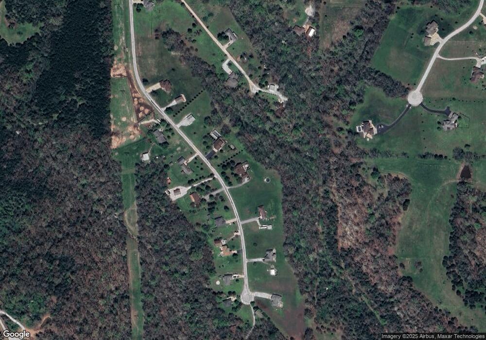
Map
Nearby Homes
- 202 N Cheyenne Valley Rd
- 506 N Cheyenne Valley Rd
- 504 N Cheyenne Valley Rd
- 206 N Cheyenne Valley Rd
- 404 N Cheyenne Valley Rd
- 1781 W Riverdale Dr
- 1736 W Riverfork Dr
- Lot 4 Riverpointe View
- 1734 Yoachum Dr
- 170 Riverpointe View
- 125 Riverpointe View
- Lot 14a Riverpointe View
- Lot 9 Riverpointe View
- 2007 Lone Star Dr
- 1013 W Sunny Slopes Dr
- Lot #4 Lone Star
- 2341 Melton Dr
- 1945 W Ranch Rd
- 996 Seveno Ridge Rd
- 176 Shooting Star Ln
- 2014 S High Ridge
- 2006 S High Ridge
- 2022 High Ridge
- 2022 S High Ridge
- 2013 S High Ridge
- 2013 S High Ridge
- 2005 S High Ridge
- 2005 S High Ridge
- 2021 S High Ridge
- 1998 Johns Ln
- 2031 S High Ridge
- 2001 S High Ridge
- 2030 S High Ridge
- 1985 Johns Ln
- 2030 S High Ridge
- 2001 High Ridge
- 2035 S High Ridge
- 1998 High Ridge
- 1965 Fair Oaks Ln
- 2039 S High Ridge