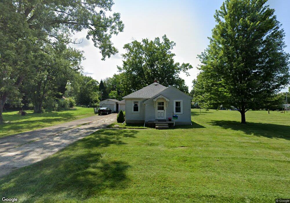
2014 Scioto St Springfield, OH 45506
Estimated Value: $124,135 - $185,000
2
Beds
1
Bath
816
Sq Ft
$180/Sq Ft
Est. Value
About This Home
This home is located at 2014 Scioto St, Springfield, OH 45506 and is currently estimated at $147,284, approximately $180 per square foot. 2014 Scioto St is a home located in Clark County with nearby schools including Possum Elementary School, Shawnee Middle School/High School, and Clark Preparatory Academy.
Ownership History
Date
Name
Owned For
Owner Type
Purchase Details
Closed on
Jun 24, 1996
Sold by
Crellin Mark A
Bought by
Pascente Joseph P and Pascente Dorothy
Current Estimated Value
Home Financials for this Owner
Home Financials are based on the most recent Mortgage that was taken out on this home.
Original Mortgage
$56,650
Outstanding Balance
$2,502
Interest Rate
8.29%
Mortgage Type
VA
Estimated Equity
$144,782
Purchase Details
Closed on
Jul 15, 1987
Create a Home Valuation Report for This Property
The Home Valuation Report is an in-depth analysis detailing your home's value as well as a comparison with similar homes in the area
Home Values in the Area
Average Home Value in this Area
Purchase History
| Date | Buyer | Sale Price | Title Company |
|---|---|---|---|
| Pascente Joseph P | $55,000 | -- | |
| -- | $36,000 | -- |
Source: Public Records
Mortgage History
| Date | Status | Borrower | Loan Amount |
|---|---|---|---|
| Open | Pascente Joseph P | $56,650 |
Source: Public Records
Tax History
| Year | Tax Paid | Tax Assessment Tax Assessment Total Assessment is a certain percentage of the fair market value that is determined by local assessors to be the total taxable value of land and additions on the property. | Land | Improvement |
|---|---|---|---|---|
| 2025 | $1,223 | $42,980 | $12,210 | $30,770 |
| 2024 | $1,222 | $34,070 | $8,590 | $25,480 |
| 2023 | $1,222 | $34,070 | $8,590 | $25,480 |
| 2022 | $1,233 | $34,070 | $8,590 | $25,480 |
| 2021 | $808 | $23,650 | $6,710 | $16,940 |
| 2020 | $815 | $23,650 | $6,710 | $16,940 |
| 2019 | $827 | $23,650 | $6,710 | $16,940 |
| 2018 | $801 | $22,940 | $7,060 | $15,880 |
| 2017 | $821 | $20,217 | $7,060 | $13,157 |
| 2016 | $741 | $20,217 | $7,060 | $13,157 |
| 2015 | $702 | $20,217 | $7,060 | $13,157 |
| 2014 | $704 | $20,217 | $7,060 | $13,157 |
| 2013 | $612 | $20,217 | $7,060 | $13,157 |
Source: Public Records
Map
Nearby Homes
- 1920 Russell Ave
- 2140 Shawnee Ave
- 2000 Springmont Ave
- 2301 Duquesne Dr
- 1109 Montgomery Ave
- 518 Hazelbrook Ave
- 550 W Parkwood Ave
- 929 S Western Ave
- 1730 Damascus Ave
- 802 Innisfallen Ave
- 0 Montgomery Ave
- 1002 S Yellow Springs St
- 506 W Southern Ave
- 830 Dibert Ave
- 405 W Southern Ave
- 311 W Grand Ave
- 326 W Grand Ave
- 1207 W Pleasant St
- 1619 S Center Blvd
- 410 W Liberty St
- 2022 Scioto St
- 2002 Scioto St
- 2057 Duquesne Dr
- 1353 Driscoll Ave
- 2065 Duquesne Dr
- 2034 Scioto St
- 2051 Duquesne Dr
- 2015 Scioto St
- 1327 Driscoll Ave
- 2043 Duquesne Dr
- 2101 Duquesne Dr
- 2055 Scioto St
- 2005 Scioto St
- 2108 Scioto St
- 1315 Driscoll Ave
- 2035 Duquesne Dr
- 2107 Duquesne Dr
- 2075 Scioto St
- 2060 Duquesne Dr
- 2050 Duquesne Dr
Your Personal Tour Guide
Ask me questions while you tour the home.