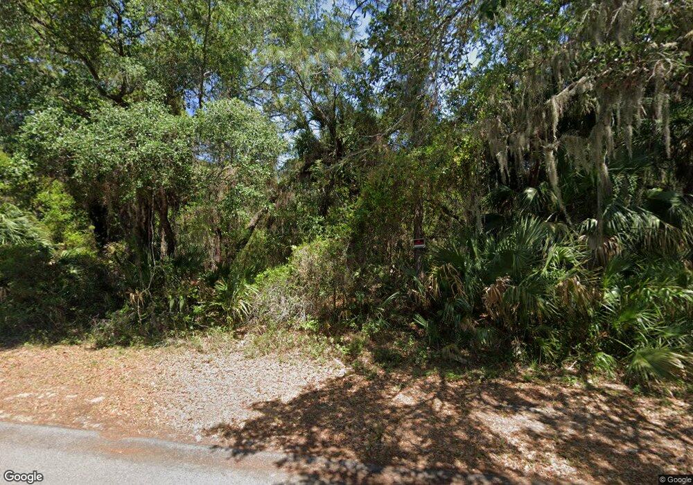
2014 Spear St Port Charlotte, FL 33948
Estimated Value: $15,040 - $389,000
--
Bed
--
Bath
--
Sq Ft
10,019
Sq Ft Lot
About This Home
This home is located at 2014 Spear St, Port Charlotte, FL 33948 and is currently estimated at $117,760. 2014 Spear St is a home located in Charlotte County with nearby schools including Liberty Elementary School, Murdock Middle School, and Port Charlotte High School.
Ownership History
Date
Name
Owned For
Owner Type
Purchase Details
Closed on
May 21, 2015
Sold by
Ivyvest Properties Llc
Bought by
American Estate & Trust and Frank Onorato Roth Ira
Current Estimated Value
Purchase Details
Closed on
Feb 9, 2015
Sold by
Grey Leslie
Bought by
Tarpon Properties Llc
Purchase Details
Closed on
Jul 6, 2011
Sold by
Lng Enterprises Inc
Bought by
Grey Leslie
Purchase Details
Closed on
May 4, 2004
Sold by
Malcolm Peggy Smith and Smith Peggy
Bought by
Lng Enterprises Inc
Create a Home Valuation Report for This Property
The Home Valuation Report is an in-depth analysis detailing your home's value as well as a comparison with similar homes in the area
Home Values in the Area
Average Home Value in this Area
Purchase History
| Date | Buyer | Sale Price | Title Company |
|---|---|---|---|
| American Estate & Trust | $8,000 | Attorney | |
| Tarpon Properties Llc | $6,000 | Attorney | |
| Grey Leslie | -- | Florida Abstract & Security | |
| Lng Enterprises Inc | $29,900 | Premier Title Of Florida |
Source: Public Records
Tax History Compared to Growth
Tax History
| Year | Tax Paid | Tax Assessment Tax Assessment Total Assessment is a certain percentage of the fair market value that is determined by local assessors to be the total taxable value of land and additions on the property. | Land | Improvement |
|---|---|---|---|---|
| 2023 | $456 | $6,336 | $0 | $0 |
| 2022 | $425 | $13,175 | $13,175 | $0 |
| 2021 | $372 | $5,270 | $5,270 | $0 |
| 2020 | $356 | $4,760 | $4,760 | $0 |
| 2019 | $346 | $4,335 | $4,335 | $0 |
| 2018 | $339 | $4,675 | $4,675 | $0 |
| 2017 | $328 | $3,672 | $3,672 | $0 |
| 2016 | $322 | $3,400 | $0 | $0 |
| 2015 | $321 | $3,209 | $0 | $0 |
| 2014 | $309 | $2,917 | $0 | $0 |
Source: Public Records
Map
Nearby Homes
- 17905 Toledo Blade Blvd
- 1587 Castlerock Ln
- 1428 Kenesaw St
- 17864 Toledo Blade Blvd
- 2039 Bendway Dr
- 17380 Tyler Ave
- 2047 Bendway Dr
- 17389 Tyler Ave
- 18033 Cochran Blvd
- 1420 Kenesaw St
- 2127 Collingswood Blvd
- 17380 Cox Ave
- 17388 Tyler Ave
- 17445 Cox Ave
- 1404 Kenesaw St
- 1412 Lullaby St
- 17406 Young Ave
- 18057 Garvin Ave
- 1993 Cedarwood St
- 1985 Cedarwood St
- 2022 Spear St
- 2015 Kendis St
- 17945 Toledo Blade Blvd
- 2023 Kendis St
- 2007 Kendis St
- 2030 Spear St
- 2031 Kendis St
- 2031 Spear St
- 2039 Kendis St
- 2039 Spear St
- 17961 Toledo Blade Blvd
- 2006 Tigard St
- 17905 Toledo Blade Blvd Unit 2
- 17905 Toledo Blade (Lot 2) Blvd
- 2046 Spear St
- 2030 Tigard St
- 2047 Kendis St
- 2038 Tigard St
- 2022 Tigard St Unit 4
- 2022 Tigard St
