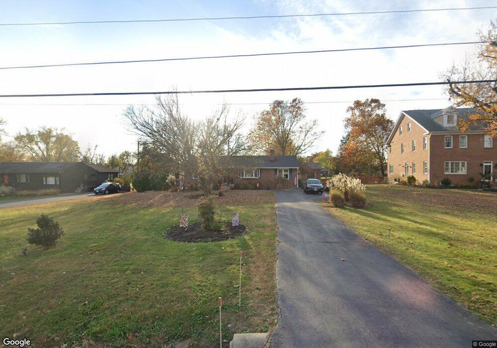
20141 Dairy Ln Sterling, VA 20165
Estimated Value: $665,000 - $717,000
3
Beds
3
Baths
1,352
Sq Ft
$517/Sq Ft
Est. Value
About This Home
This home is located at 20141 Dairy Ln, Sterling, VA 20165 and is currently estimated at $698,329, approximately $516 per square foot. 20141 Dairy Ln is a home located in Loudoun County with nearby schools including Countryside Elementary School, River Bend Middle School, and Potomac Falls High School.
Ownership History
Date
Name
Owned For
Owner Type
Purchase Details
Closed on
Dec 23, 2004
Sold by
Young Cary R
Bought by
Ouellette Raymond Rheal
Current Estimated Value
Home Financials for this Owner
Home Financials are based on the most recent Mortgage that was taken out on this home.
Original Mortgage
$290,000
Outstanding Balance
$145,329
Interest Rate
5.74%
Mortgage Type
New Conventional
Estimated Equity
$553,000
Create a Home Valuation Report for This Property
The Home Valuation Report is an in-depth analysis detailing your home's value as well as a comparison with similar homes in the area
Purchase History
| Date | Buyer | Sale Price | Title Company |
|---|---|---|---|
| Ouellette Raymond Rheal | $365,000 | -- |
Source: Public Records
Mortgage History
| Date | Status | Borrower | Loan Amount |
|---|---|---|---|
| Open | Ouellette Raymond Rheal | $290,000 |
Source: Public Records
Tax History
| Year | Tax Paid | Tax Assessment Tax Assessment Total Assessment is a certain percentage of the fair market value that is determined by local assessors to be the total taxable value of land and additions on the property. | Land | Improvement |
|---|---|---|---|---|
| 2025 | $5,431 | $674,650 | $315,700 | $358,950 |
| 2024 | $5,230 | $604,620 | $315,700 | $288,920 |
| 2023 | $4,993 | $570,620 | $280,700 | $289,920 |
| 2022 | $4,916 | $552,410 | $260,700 | $291,710 |
| 2021 | $5,357 | $546,590 | $260,700 | $285,890 |
| 2020 | $5,097 | $492,510 | $260,700 | $231,810 |
| 2019 | $4,949 | $473,610 | $245,700 | $227,910 |
| 2018 | $4,651 | $428,680 | $193,500 | $235,180 |
| 2017 | $4,360 | $387,540 | $193,500 | $194,040 |
| 2016 | $4,497 | $392,780 | $0 | $0 |
| 2015 | $4,339 | $188,800 | $0 | $188,800 |
| 2014 | $4,380 | $185,750 | $0 | $185,750 |
Source: Public Records
Map
Nearby Homes
- 20150 Dairy Ln
- 20209 Redrose Dr
- 45070 Brae Terrace Unit 102
- 30 Gannon Way
- 14 Marian Ct
- 47 Quincy Ct
- 19141 Youngs Cliff Rd
- 9 Dorrell Ct
- 34 Palmer Ct
- 21 Aldridge Ct
- 45558 Lakemont Square
- 130 Minor Rd
- 34 Lipscomb Ct
- 45127 Kincora Dr
- Homesite 908 Clongee Terrace
- 45201 Drowes Terrace
- Homesite 907 Clongee Terrace
- TBB Cloongee Terrace Unit ROSSLYN
- TBB Cloongee Terrace Unit CLARENDON
- 44794 Tiverton Square
- 20131 Dairy Ln
- 20149 Dairy Ln
- 20127 Dairy Ln
- 20161 Dairy Ln
- 20158 Broad Run Dr
- 20140 Dairy Ln
- 20152 Broad Run Dr
- 20172 Broad Run Dr
- 20128 Dairy Ln
- 20167 Dairy Ln
- 20142 Broad Run Dr
- 20176 Broad Run Dr
- 20136 Broad Run Dr
- 20184 Broad Run Dr
- 20173 Dairy Ln
- 20095 Dairy Ln
- 20160 Dairy Ln
- 20122 Dairy Ln
- 20194 Broad Run Dr
- 45363 Toms Ln
Your Personal Tour Guide
Ask me questions while you tour the home.