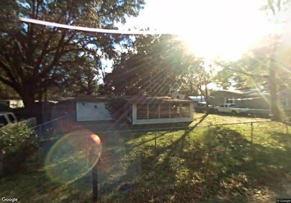
2015 Brock Rd Green Cove Springs, FL 32043
Estimated Value: $78,687 - $202,000
2
Beds
1
Bath
1,092
Sq Ft
$107/Sq Ft
Est. Value
About This Home
This home is located at 2015 Brock Rd, Green Cove Springs, FL 32043 and is currently estimated at $116,672, approximately $106 per square foot. 2015 Brock Rd is a home located in Clay County with nearby schools including Clay High School, Charles E. Bennett Elementary School, and Green Cove Springs Junior High School.
Ownership History
Date
Name
Owned For
Owner Type
Purchase Details
Closed on
Sep 24, 2024
Sold by
Marcum Henry
Bought by
15A Rentals Llc
Current Estimated Value
Home Financials for this Owner
Home Financials are based on the most recent Mortgage that was taken out on this home.
Original Mortgage
$80,000
Outstanding Balance
$68,705
Interest Rate
7%
Mortgage Type
Seller Take Back
Estimated Equity
$47,967
Purchase Details
Closed on
May 8, 2015
Sold by
Marcum Kathleen
Bought by
Marcum Henry
Purchase Details
Closed on
Oct 20, 2008
Sold by
Fields Randy S and Flynn Catherine A
Bought by
Marcum Kathleen
Home Financials for this Owner
Home Financials are based on the most recent Mortgage that was taken out on this home.
Original Mortgage
$35,000
Interest Rate
5.78%
Mortgage Type
Purchase Money Mortgage
Create a Home Valuation Report for This Property
The Home Valuation Report is an in-depth analysis detailing your home's value as well as a comparison with similar homes in the area
Home Values in the Area
Average Home Value in this Area
Purchase History
| Date | Buyer | Sale Price | Title Company |
|---|---|---|---|
| 15A Rentals Llc | -- | None Listed On Document | |
| 15A Rentals Llc | -- | None Listed On Document | |
| Marcum Henry | -- | Attorney | |
| Marcum Kathleen | $31,000 | Assurance Land Title & Escro |
Source: Public Records
Mortgage History
| Date | Status | Borrower | Loan Amount |
|---|---|---|---|
| Open | 15A Rentals Llc | $80,000 | |
| Closed | 15A Rentals Llc | $80,000 | |
| Previous Owner | Marcum Kathleen | $35,000 |
Source: Public Records
Tax History Compared to Growth
Tax History
| Year | Tax Paid | Tax Assessment Tax Assessment Total Assessment is a certain percentage of the fair market value that is determined by local assessors to be the total taxable value of land and additions on the property. | Land | Improvement |
|---|---|---|---|---|
| 2024 | $1,135 | $54,838 | $15,000 | $39,838 |
| 2023 | $1,135 | $53,396 | $15,000 | $38,396 |
| 2022 | $985 | $51,517 | $15,000 | $36,517 |
| 2021 | $939 | $45,859 | $15,000 | $30,859 |
| 2020 | $914 | $45,177 | $15,000 | $30,177 |
| 2019 | $885 | $43,859 | $15,000 | $28,859 |
| 2018 | $794 | $42,798 | $0 | $0 |
| 2017 | $0 | $34,580 | $0 | $0 |
| 2016 | $744 | $35,133 | $0 | $0 |
| 2015 | -- | $32,297 | $0 | $0 |
| 2014 | -- | $30,445 | $0 | $0 |
Source: Public Records
Map
Nearby Homes
- 2113 State Road 16 W
- 1732 Hagans Ridge Ct
- 1750 Harring St
- 1734 Harring St
- 1755 Colonial Dr
- 0 Kirk St Unit 2082360
- 0 Harring St
- 3668 Clubhouse Dr Unit A
- 2005 S County Road 16
- 1856 Colonial Dr
- 1534 Center St
- 1839 Turnberry Ct
- 100 El Dorado Dr
- 1677 Pebble Beach Blvd
- 3672 Saint Andrews Ct
- 206 S Oakridge Ave
- 3666 Cypress Point Ct
- 1935 Colonial Dr
- 3750 County Road 315a
- 0 Idlewild Ave Unit 2059265
- 2013 Brock Rd
- 2018 Brock Rd
- 2025 Brock Rd
- 2006 Knowles Rd
- 3904 Randall Rd
- 2014 Brock Rd
- 2016 Knowles Rd
- 3910 Randall Rd
- 2020 Woods Rd
- 3884 Randall Rd
- 2026 Brock Rd
- 2010 Woods Rd
- 2030 Woods Rd
- 2022 Knowles Rd
- 2036 Woods Rd
- 3901 Randall Rd
- 2016 Bennett Rd
- 2020 Bennett Rd
- 3876 Randall Rd
- 3920 Randall Rd