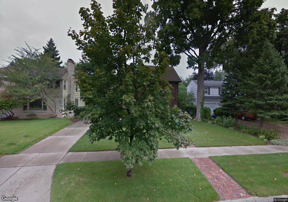
2015 Cedar St South Bend, IN 46617
Northeast South Bend NeighborhoodEstimated Value: $359,000 - $493,000
3
Beds
2
Baths
2,766
Sq Ft
$161/Sq Ft
Est. Value
About This Home
This home is located at 2015 Cedar St, South Bend, IN 46617 and is currently estimated at $445,276, approximately $160 per square foot. 2015 Cedar St is a home located in St. Joseph County with nearby schools including Nuner Fine Arts Academy, Clay Intermediate Center, and McKinley Elementary School.
Ownership History
Date
Name
Owned For
Owner Type
Purchase Details
Closed on
Nov 5, 2014
Sold by
Anderson Kevin R and Anderson Maureen L
Bought by
Harshman Marty R and Harshman Catherine E
Current Estimated Value
Home Financials for this Owner
Home Financials are based on the most recent Mortgage that was taken out on this home.
Original Mortgage
$42,000
Outstanding Balance
$4,719
Interest Rate
4.1%
Mortgage Type
New Conventional
Estimated Equity
$440,557
Create a Home Valuation Report for This Property
The Home Valuation Report is an in-depth analysis detailing your home's value as well as a comparison with similar homes in the area
Home Values in the Area
Average Home Value in this Area
Purchase History
| Date | Buyer | Sale Price | Title Company |
|---|---|---|---|
| Harshman Marty R | -- | Metropolitan Title |
Source: Public Records
Mortgage History
| Date | Status | Borrower | Loan Amount |
|---|---|---|---|
| Open | Harshman Marty R | $42,000 | |
| Open | Harshman Marty R | $224,000 |
Source: Public Records
Tax History Compared to Growth
Tax History
| Year | Tax Paid | Tax Assessment Tax Assessment Total Assessment is a certain percentage of the fair market value that is determined by local assessors to be the total taxable value of land and additions on the property. | Land | Improvement |
|---|---|---|---|---|
| 2024 | $5,514 | $423,800 | $38,200 | $385,600 |
| 2023 | $5,471 | $453,600 | $38,200 | $415,400 |
| 2022 | $4,898 | $399,000 | $38,200 | $360,800 |
| 2021 | $4,197 | $339,900 | $48,400 | $291,500 |
| 2020 | $3,623 | $294,400 | $41,900 | $252,500 |
| 2019 | $3,035 | $299,200 | $39,200 | $260,000 |
| 2018 | $3,315 | $271,300 | $35,200 | $236,100 |
| 2017 | $2,837 | $223,300 | $29,700 | $193,600 |
| 2016 | $2,897 | $223,300 | $29,700 | $193,600 |
| 2014 | $2,856 | $221,500 | $29,700 | $191,800 |
| 2013 | $2,706 | $210,300 | $26,500 | $183,800 |
Source: Public Records
Map
Nearby Homes
- 2007 Cedar St
- 231 N Ironwood Dr
- 222 N Tuxedo Dr
- 1519 Mckinley Ave
- 2521 Club Dr
- 1522 Mckinley Ave
- 606 N Twyckenham Dr
- 1454 Sorin St
- 1123 N Twyckenham Dr
- 735 N Twyckenham Dr
- 1031 N Ironwood Dr
- 905 White Oak Dr
- 2314 Solomon Ave
- 1005 White Oak Dr
- 2001 E Jefferson Blvd
- 1334 Chalfant St
- 2525 Benedict Ave
- 1303 Sorin St
- 1206 Congress Ave
- 403 Manchester Dr
- 2019 Cedar St
- 2011 Cedar St
- 2101 Cedar St
- 2020 Bader Ave
- 520 N Coquillard Dr
- 2102 Bader Ave
- 2105 Cedar St
- 502 N Coquillard Dr
- 2020 Cedar St
- 2012 Cedar St
- 2102 Cedar St
- 2108 Bader Ave
- 412 N Coquillard Dr
- 2106 Cedar St
- 2116 Bader Ave
- 501 N Ironwood Dr
- 515 N Ironwood Dr
- 1917 Cedar St
- 2015 E Madison St
- 2011 E Madison St