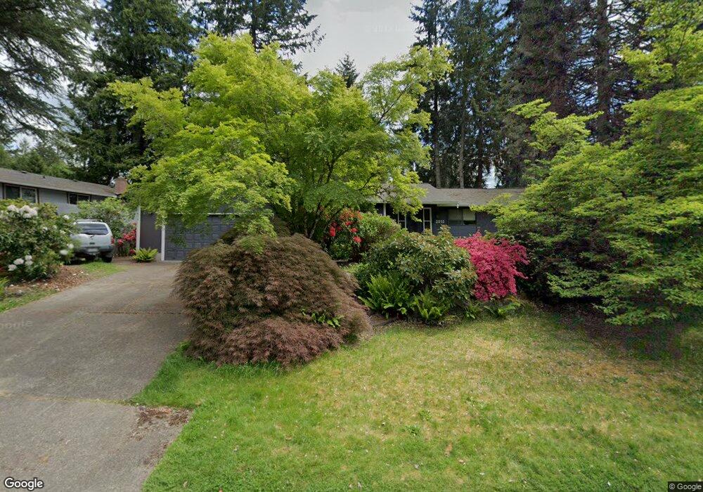
2015 Centerwood Dr SE Olympia, WA 98501
Cain Road NeighborhoodEstimated Value: $524,848 - $575,000
3
Beds
3
Baths
1,620
Sq Ft
$341/Sq Ft
Est. Value
About This Home
This home is located at 2015 Centerwood Dr SE, Olympia, WA 98501 and is currently estimated at $553,212, approximately $341 per square foot. 2015 Centerwood Dr SE is a home located in Thurston County with nearby schools including Pioneer Elementary School, Washington Middle School, and Olympia High School.
Ownership History
Date
Name
Owned For
Owner Type
Purchase Details
Closed on
Nov 18, 2002
Sold by
Pietila Winona T
Bought by
Wright Brian P and Wright Cortney S
Current Estimated Value
Home Financials for this Owner
Home Financials are based on the most recent Mortgage that was taken out on this home.
Original Mortgage
$177,800
Outstanding Balance
$73,760
Interest Rate
5.89%
Estimated Equity
$479,452
Create a Home Valuation Report for This Property
The Home Valuation Report is an in-depth analysis detailing your home's value as well as a comparison with similar homes in the area
Home Values in the Area
Average Home Value in this Area
Purchase History
| Date | Buyer | Sale Price | Title Company |
|---|---|---|---|
| Wright Brian P | $180,000 | Transnation Title Insuran |
Source: Public Records
Mortgage History
| Date | Status | Borrower | Loan Amount |
|---|---|---|---|
| Open | Wright Brian P | $177,800 |
Source: Public Records
Tax History Compared to Growth
Tax History
| Year | Tax Paid | Tax Assessment Tax Assessment Total Assessment is a certain percentage of the fair market value that is determined by local assessors to be the total taxable value of land and additions on the property. | Land | Improvement |
|---|---|---|---|---|
| 2024 | $4,407 | $459,700 | $200,000 | $259,700 |
| 2023 | $4,407 | $421,200 | $171,400 | $249,800 |
| 2022 | $3,881 | $402,400 | $137,100 | $265,300 |
| 2021 | $3,772 | $324,600 | $111,100 | $213,500 |
| 2020 | $3,717 | $292,000 | $124,600 | $167,400 |
| 2019 | $3,418 | $280,700 | $118,200 | $162,500 |
| 2018 | $3,546 | $263,200 | $107,600 | $155,600 |
| 2017 | $3,067 | $245,300 | $97,100 | $148,200 |
| 2016 | $2,922 | $226,850 | $87,850 | $139,000 |
| 2014 | -- | $233,500 | $86,600 | $146,900 |
Source: Public Records
Map
Nearby Homes
- 2001 Holiday Cir SE
- 2802 Burnaby Park Loop SE
- 2727 Fir St SE
- 2534 Wedgewood Ct SE
- 1304 Eskridge Blvd SE
- 2807 Kirkaldy Ct SE
- 3804 Reading St SE
- 2101 Swanee Cir SE
- 3525 Humphrey St SE
- 3219 Moore St SE
- 1403 Lybarger St SE
- 1824 Fairview St SE
- 4019 Wexford Loop SE
- 1720 Wilson St SE
- 3242 Maringo Rd SE
- 2605 43rd Ln SE
- 3401 Bittersweet St SE
- 510 North St SE
- 532 Eskridge Way SE
- 2501 Otis St SE
- 2001 Centerwood Dr SE
- 2019 Centerwood Dr SE
- 3215 Centerwood Ct SE
- 3223 Centerwood Ct SE
- 2002 Centerwood Dr SE
- 1907 Centerwood Dr SE
- 2016 Centerwood Dr SE
- 3237 Centerwood Ct SE
- 3124 Fir St SE
- 2020 Centerwood Dr SE
- 3114 Fir St SE
- 1901 Centerwood Dr SE
- 3241 Centerwood Ct SE
- 2035 Centerwood Dr SE
- 3224 Centerwood Ct SE
- 2001 Governor Stevens Ave SE
- 3216 Centerwood Ct SE
- 2017 Governor Stevens Ave SE
- 2038 Centerwood Dr SE