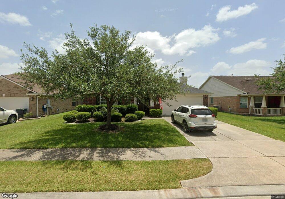
2015 Creek Shore Ln Pearland, TX 77581
Outlying Friendswood City NeighborhoodEstimated Value: $335,388 - $368,000
3
Beds
2
Baths
1,965
Sq Ft
$178/Sq Ft
Est. Value
About This Home
This home is located at 2015 Creek Shore Ln, Pearland, TX 77581 and is currently estimated at $349,097, approximately $177 per square foot. 2015 Creek Shore Ln is a home located in Brazoria County with nearby schools including C.J. Harris Elementary School, Leon H. Sablatura Middle School, and Pearland Junior High School West.
Ownership History
Date
Name
Owned For
Owner Type
Purchase Details
Closed on
May 13, 2020
Sold by
Burke Joshua and Berlinger Emily
Bought by
Fuentes Rene E
Current Estimated Value
Home Financials for this Owner
Home Financials are based on the most recent Mortgage that was taken out on this home.
Original Mortgage
$180,000
Outstanding Balance
$159,505
Interest Rate
3.3%
Mortgage Type
New Conventional
Estimated Equity
$189,592
Purchase Details
Closed on
Nov 7, 2005
Sold by
Rh Of Texas Lp
Bought by
Wells Roy K
Home Financials for this Owner
Home Financials are based on the most recent Mortgage that was taken out on this home.
Original Mortgage
$32,350
Interest Rate
5.92%
Mortgage Type
Stand Alone Second
Create a Home Valuation Report for This Property
The Home Valuation Report is an in-depth analysis detailing your home's value as well as a comparison with similar homes in the area
Home Values in the Area
Average Home Value in this Area
Purchase History
| Date | Buyer | Sale Price | Title Company |
|---|---|---|---|
| Fuentes Rene E | -- | Alamo Title Company | |
| Wells Roy K | -- | -- |
Source: Public Records
Mortgage History
| Date | Status | Borrower | Loan Amount |
|---|---|---|---|
| Open | Fuentes Rene E | $180,000 | |
| Previous Owner | Wells Roy K | $32,350 | |
| Previous Owner | Wells Roy K | $129,450 |
Source: Public Records
Tax History Compared to Growth
Tax History
| Year | Tax Paid | Tax Assessment Tax Assessment Total Assessment is a certain percentage of the fair market value that is determined by local assessors to be the total taxable value of land and additions on the property. | Land | Improvement |
|---|---|---|---|---|
| 2025 | $6,947 | $311,750 | $26,570 | $285,180 |
| 2023 | $6,947 | $289,817 | $24,150 | $277,460 |
| 2022 | $8,340 | $263,470 | $24,150 | $239,320 |
| 2021 | $8,144 | $239,780 | $24,150 | $215,630 |
| 2020 | $7,923 | $239,780 | $24,150 | $215,630 |
| 2019 | $7,204 | $204,740 | $24,150 | $180,590 |
| 2018 | $7,061 | $201,360 | $24,150 | $177,210 |
| 2017 | $6,902 | $196,080 | $24,150 | $171,930 |
| 2016 | $6,899 | $196,080 | $24,150 | $171,930 |
| 2014 | $5,454 | $164,300 | $24,150 | $140,150 |
Source: Public Records
Map
Nearby Homes
- 1915 Stable Stone Ln
- 1910 Stable Stone Ln
- 3026 Ripple Bend Ct
- 2008 Foxglove Oaks Ct
- 1813 Gable Stone Ln
- 3122 Creek Bank Ln
- 3207 Mossy Bend Ln
- 000 Pearland Pkwy
- 3119 Pilgrims Point Ln
- 3306 Cactus Heights Ln
- 2108 Asbury Ct
- 2885 Mystic Ridge Ct
- 2008 Plantain Lily Ct
- 1805 Jasmine Hollow Ln
- 2814 Baywater Creek Ln
- 2806 Oakheath Crest Ct
- 3407 Snowblossom Ct
- 2107 Old Alvin Rd
- 1415 Laurel Leaf Ln
- 1705 White Willow Ln
- 2013 Creek Shore Ln
- 2016 Sandy Banks Ln
- 2016 Sandy Bank Ln
- 2011 Creek Shore Ln
- 2014 Sandy Banks Ln
- 2018 Sandy Banks Ln
- 2014 Sandy Bank Ln
- 2018 Creek Shore Ln
- 2012 Sandy Banks Ln
- 2020 Sandy Banks Ln
- 2012 Sandy Bank Ln
- 2020 Sandy Bank Ln
- 2020 Creek Shore Ln
- 2016 Creek Shore Ln
- 2021 Creek Shore Ln
- 2009 Creek Shore Ln
- 2022 Creek Shore Ln
- 2014 Creek Shore Ln
- 2010 Sandy Banks Ln
- 2022 Sandy Banks Ln