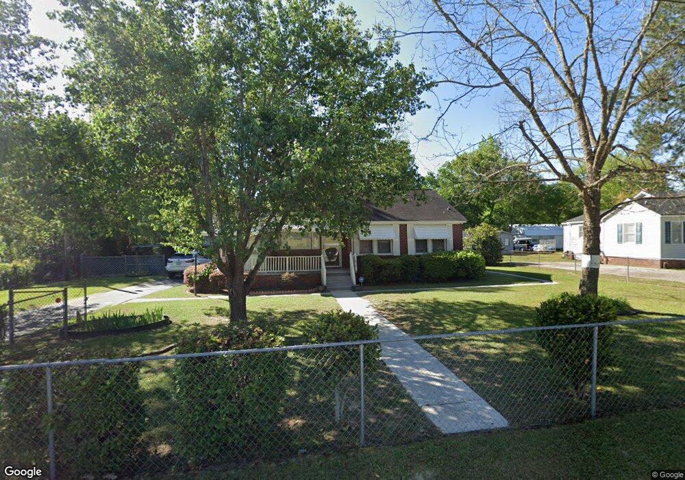
2015 Dew Ave West Columbia, SC 29169
Estimated Value: $152,000 - $166,497
2
Beds
1
Bath
1,004
Sq Ft
$161/Sq Ft
Est. Value
About This Home
This home is located at 2015 Dew Ave, West Columbia, SC 29169 and is currently estimated at $161,374, approximately $160 per square foot. 2015 Dew Ave is a home located in Lexington County with nearby schools including Riverbank Elementary, Northside Middle, and Brookland-Cayce High School.
Ownership History
Date
Name
Owned For
Owner Type
Purchase Details
Closed on
Aug 28, 2024
Sold by
Mckinney Brenda and Murphy Susan
Bought by
Harrington Melinda Gale
Current Estimated Value
Home Financials for this Owner
Home Financials are based on the most recent Mortgage that was taken out on this home.
Original Mortgage
$154,156
Outstanding Balance
$152,522
Interest Rate
6.78%
Mortgage Type
FHA
Estimated Equity
$8,852
Purchase Details
Closed on
Aug 22, 2017
Sold by
Johnson Mae S
Bought by
Micinney Brenda and Murphy Susan
Create a Home Valuation Report for This Property
The Home Valuation Report is an in-depth analysis detailing your home's value as well as a comparison with similar homes in the area
Home Values in the Area
Average Home Value in this Area
Purchase History
| Date | Buyer | Sale Price | Title Company |
|---|---|---|---|
| Harrington Melinda Gale | $157,000 | None Listed On Document | |
| Micinney Brenda | -- | None Available |
Source: Public Records
Mortgage History
| Date | Status | Borrower | Loan Amount |
|---|---|---|---|
| Open | Harrington Melinda Gale | $154,156 |
Source: Public Records
Tax History Compared to Growth
Tax History
| Year | Tax Paid | Tax Assessment Tax Assessment Total Assessment is a certain percentage of the fair market value that is determined by local assessors to be the total taxable value of land and additions on the property. | Land | Improvement |
|---|---|---|---|---|
| 2024 | $1,157 | $3,439 | $1,200 | $2,239 |
| 2023 | $157 | $3,439 | $1,200 | $2,239 |
| 2022 | $156 | $3,439 | $1,200 | $2,239 |
| 2020 | $156 | $3,439 | $1,200 | $2,239 |
| 2019 | $159 | $3,419 | $1,200 | $2,219 |
| 2018 | $165 | $3,419 | $1,200 | $2,219 |
| 2017 | $148 | $3,419 | $1,200 | $2,219 |
| 2016 | $162 | $3,417 | $1,200 | $2,217 |
| 2014 | $58 | $3,088 | $690 | $2,398 |
| 2013 | -- | $3,090 | $690 | $2,400 |
Source: Public Records
Map
Nearby Homes
- 415 Graham St
- 2004 Dew Ave
- 207 Woodhaven Dr
- 215 Sandel Ln
- 0 Platt Springs Rd Unit 606355
- 165 Cavendish Dr
- 623 Hook Ave
- 529 Finnegan Ln
- 500 Finnegan Ln
- 617 Holland Cir
- 1615 Holland St
- 106 Earl Ct
- 116 Silver Run Place
- 339 Gum Swamp Trail
- 135 Silver Run Place
- 349 Gum Swamp Trail
- 212 Alexandria St
- 1513 Gambrell St
- 1734 C Ave
- 913 Harper Rose Ct