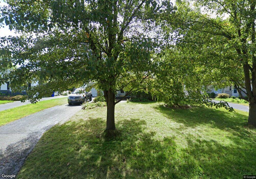
2015 Kentwell Rd Columbus, OH 43221
Estimated Value: $364,000 - $437,000
3
Beds
1
Bath
952
Sq Ft
$422/Sq Ft
Est. Value
About This Home
This home is located at 2015 Kentwell Rd, Columbus, OH 43221 and is currently estimated at $401,530, approximately $421 per square foot. 2015 Kentwell Rd is a home located in Franklin County with nearby schools including Tremont Elementary School, Jones Middle School, and Upper Arlington High School.
Ownership History
Date
Name
Owned For
Owner Type
Purchase Details
Closed on
Sep 10, 2002
Sold by
Harstine Cinda K
Bought by
Marzley Crystal M
Current Estimated Value
Home Financials for this Owner
Home Financials are based on the most recent Mortgage that was taken out on this home.
Original Mortgage
$116,000
Outstanding Balance
$48,740
Interest Rate
6.32%
Mortgage Type
Purchase Money Mortgage
Estimated Equity
$352,790
Purchase Details
Closed on
Nov 1, 1990
Bought by
Harstine Cinda K
Purchase Details
Closed on
Apr 19, 1989
Create a Home Valuation Report for This Property
The Home Valuation Report is an in-depth analysis detailing your home's value as well as a comparison with similar homes in the area
Home Values in the Area
Average Home Value in this Area
Purchase History
| Date | Buyer | Sale Price | Title Company |
|---|---|---|---|
| Marzley Crystal M | $145,000 | -- | |
| Harstine Cinda K | $85,000 | -- | |
| -- | $77,000 | -- |
Source: Public Records
Mortgage History
| Date | Status | Borrower | Loan Amount |
|---|---|---|---|
| Open | Marzley Crystal M | $116,000 |
Source: Public Records
Tax History Compared to Growth
Tax History
| Year | Tax Paid | Tax Assessment Tax Assessment Total Assessment is a certain percentage of the fair market value that is determined by local assessors to be the total taxable value of land and additions on the property. | Land | Improvement |
|---|---|---|---|---|
| 2024 | $6,296 | $108,750 | $52,920 | $55,830 |
| 2023 | $6,218 | $108,750 | $52,920 | $55,830 |
| 2022 | $5,809 | $83,130 | $34,020 | $49,110 |
| 2021 | $5,142 | $83,130 | $34,020 | $49,110 |
| 2020 | $5,097 | $83,130 | $34,020 | $49,110 |
| 2019 | $4,867 | $70,180 | $34,020 | $36,160 |
| 2018 | $4,364 | $70,180 | $34,020 | $36,160 |
| 2017 | $4,361 | $70,180 | $34,020 | $36,160 |
| 2016 | $3,893 | $58,880 | $24,680 | $34,200 |
| 2015 | $3,890 | $58,880 | $24,680 | $34,200 |
| 2014 | $3,894 | $58,880 | $24,680 | $34,200 |
| 2013 | $1,859 | $53,515 | $22,435 | $31,080 |
Source: Public Records
Map
Nearby Homes
- 2047 Langham Rd
- 3106 Somerford Rd
- 3296 Leighton Rd
- 1842 Ridgecliff Rd
- 2227 Zollinger Rd
- 3175 Tremont Rd Unit 504
- 3175 Tremont Rd Unit 313
- 3161 Avalon Rd
- 3015 Welsford Rd
- 2225 Swansea Rd
- 1743 Ardleigh Rd Unit 1743
- 2979 Avalon Rd
- 2370 Zollinger Rd
- 3509 Redding Rd
- 2438 Sherwood Villa Unit 5
- 3444 Sunningdale Way
- 2583 Wexford Rd
- 3156 Mt Holyoke Rd
- 2401 Shrewsbury Rd
- 3163 S Dorchester Rd
- 2007 Kentwell Rd
- 2031 Kentwell Rd
- 2024 Zollinger Rd
- 2032 Zollinger Rd
- 2014 Zollinger Rd
- 1993 Kentwell Rd
- 2039 Kentwell Rd
- 2014 Kentwell Rd
- 2006 Zollinger Rd
- 2040 Zollinger Rd
- 2022 Kentwell Rd
- 2000 Kentwell Rd
- 2030 Kentwell Rd
- 1985 Kentwell Rd
- 1998 Zollinger Rd
- 2047 Kentwell Rd
- 1990 Kentwell Rd
- 2056 Zollinger Rd
- 2038 Kentwell Rd
- 1977 Kentwell Rd