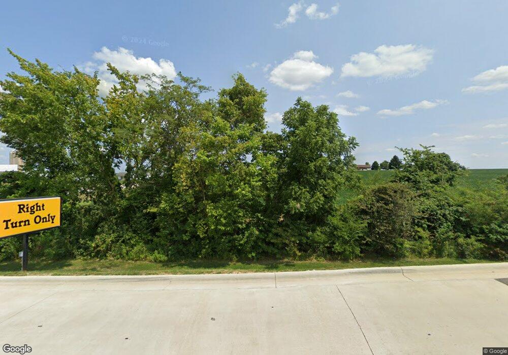
2015 Lanc Kirk Rd NW Lancaster, OH 43130
Estimated Value: $266,000 - $293,000
3
Beds
2
Baths
1,092
Sq Ft
$253/Sq Ft
Est. Value
About This Home
This home is located at 2015 Lanc Kirk Rd NW, Lancaster, OH 43130 and is currently estimated at $276,671, approximately $253 per square foot. 2015 Lanc Kirk Rd NW is a home located in Fairfield County with nearby schools including Bloom Carroll Primary School, Bloom Carroll Intermediate School, and Bloom-Carroll Middle School.
Ownership History
Date
Name
Owned For
Owner Type
Purchase Details
Closed on
Aug 13, 2007
Sold by
Bowes Michael J
Bought by
Bowes Michael J
Current Estimated Value
Home Financials for this Owner
Home Financials are based on the most recent Mortgage that was taken out on this home.
Original Mortgage
$96,000
Outstanding Balance
$66,230
Interest Rate
8.5%
Mortgage Type
New Conventional
Estimated Equity
$210,441
Purchase Details
Closed on
Sep 20, 2005
Sold by
Benson John H
Bought by
Bowes Michael J
Purchase Details
Closed on
Mar 18, 1999
Sold by
Shrf Michael J Bowes Pr
Bought by
Benson John H
Home Financials for this Owner
Home Financials are based on the most recent Mortgage that was taken out on this home.
Original Mortgage
$10,200
Interest Rate
6.8%
Mortgage Type
New Conventional
Create a Home Valuation Report for This Property
The Home Valuation Report is an in-depth analysis detailing your home's value as well as a comparison with similar homes in the area
Home Values in the Area
Average Home Value in this Area
Purchase History
| Date | Buyer | Sale Price | Title Company |
|---|---|---|---|
| Bowes Michael J | -- | Valmer Land Title Agency | |
| Bowes Michael J | $73,100 | Valmer Land Title Agency | |
| Benson John H | $51,000 | -- |
Source: Public Records
Mortgage History
| Date | Status | Borrower | Loan Amount |
|---|---|---|---|
| Open | Bowes Michael J | $96,000 | |
| Previous Owner | Benson John H | $10,200 |
Source: Public Records
Tax History Compared to Growth
Tax History
| Year | Tax Paid | Tax Assessment Tax Assessment Total Assessment is a certain percentage of the fair market value that is determined by local assessors to be the total taxable value of land and additions on the property. | Land | Improvement |
|---|---|---|---|---|
| 2024 | $4,856 | $60,170 | $17,420 | $42,750 |
| 2023 | $2,681 | $60,170 | $17,420 | $42,750 |
| 2022 | $2,700 | $60,170 | $17,420 | $42,750 |
| 2021 | $2,102 | $45,900 | $14,510 | $31,390 |
| 2020 | $2,127 | $45,900 | $14,510 | $31,390 |
| 2019 | $2,136 | $45,900 | $14,510 | $31,390 |
| 2018 | $1,595 | $32,000 | $11,610 | $20,390 |
| 2017 | $1,499 | $35,160 | $11,610 | $23,550 |
| 2016 | $1,455 | $35,160 | $11,610 | $23,550 |
| 2015 | $1,404 | $33,030 | $11,610 | $21,420 |
| 2014 | $1,343 | $33,030 | $11,610 | $21,420 |
| 2013 | $1,343 | $33,030 | $11,610 | $21,420 |
Source: Public Records
Map
Nearby Homes
- 626 Rainbow Dr NW
- 2422 Long Bow Ave
- 2361 Calico Ct
- 1833 Autumn Dr
- 2195 Olde Ridge Ct
- 1889 Salt Lick Dr
- 1632 Bush Hill Dr
- 1080 Coonpath Rd NW
- 260 Scott Dr
- 1715 Tecumseh Dr
- 1639 Tecumseh Dr
- 189 Berkeley Dr
- 173 Lakeview Dr NE
- 2695 Two Ridge Ave
- 319 Greenfield Ave
- 2699 Fernwood Ave
- 2865 Stringtown Rd NW
- 226 Whittier Dr S
- 0 Coonpath Rd NW Unit Tract 4 224028093
- 0 Coonpath Rd NW Unit Tract 7 224028097
- 980 Rainbow Dr NW
- 975 Rainbow Dr NW
- 1090 Rainbow Dr NW
- 935 Rainbow Dr NW
- 935 Rainbow Dr NW
- 1950 Lanc Kirk Rd NW
- 1930 Lancaster Kirkersville Rd NW
- 2100 Lancaster Kirkersville Rd NW
- 2100 Lanc Kirk Rd NW
- 1085 Rainbow Dr NW
- 2100 Lancaster-Kirkersville Rd NW
- 1910 Lancaster-Kirkersville Rd NW
- 1120 Rainbow Dr NW
- 1117 Rainbow Dr NW
- 1910 Lanc Kirk Rd NW
- 907 Rainbow Dr NW
- 1890 Lancaster-Kirkersville Rd NW
- 1890 Lanc Kirk Rd NW
- 0 Lancaster Kirkersville Tract 5 Rd NW Unit 220027923
- 1144 Rainbow Dr NW
