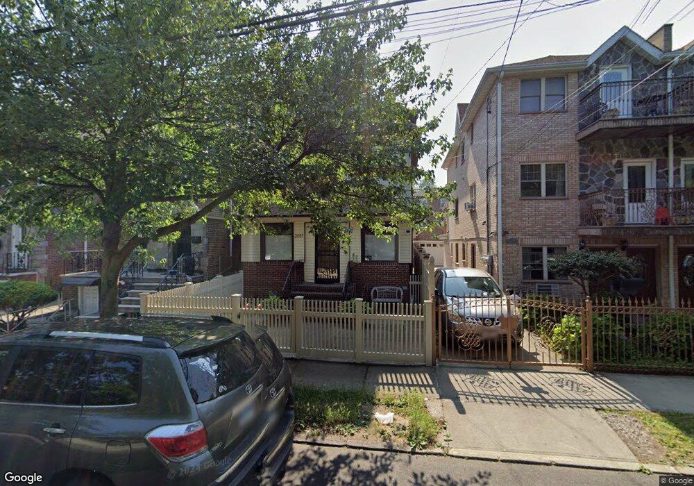
2015 Muliner Ave Bronx, NY 10462
Morris Park NeighborhoodEstimated Value: $680,497 - $915,000
Studio
--
Bath
1,600
Sq Ft
$517/Sq Ft
Est. Value
About This Home
This home is located at 2015 Muliner Ave, Bronx, NY 10462 and is currently estimated at $826,624, approximately $516 per square foot. 2015 Muliner Ave is a home located in Bronx County with nearby schools including Pelham Academy, Bronx Green Middle School, and Icahn Charter School 2.
Ownership History
Date
Name
Owned For
Owner Type
Purchase Details
Closed on
Aug 13, 1997
Sold by
Tang Ly T and Tang Laura
Bought by
Tang Laura and Tang David
Current Estimated Value
Home Financials for this Owner
Home Financials are based on the most recent Mortgage that was taken out on this home.
Original Mortgage
$110,000
Interest Rate
7.52%
Create a Home Valuation Report for This Property
The Home Valuation Report is an in-depth analysis detailing your home's value as well as a comparison with similar homes in the area
Home Values in the Area
Average Home Value in this Area
Purchase History
| Date | Buyer | Sale Price | Title Company |
|---|---|---|---|
| Tang Laura | $75,000 | -- | |
| Tang Laura | -- | -- |
Source: Public Records
Mortgage History
| Date | Status | Borrower | Loan Amount |
|---|---|---|---|
| Closed | Tang Laura | $110,000 |
Source: Public Records
Tax History
| Year | Tax Paid | Tax Assessment Tax Assessment Total Assessment is a certain percentage of the fair market value that is determined by local assessors to be the total taxable value of land and additions on the property. | Land | Improvement |
|---|---|---|---|---|
| 2025 | $7,560 | $38,621 | $8,966 | $29,655 |
| 2024 | $7,560 | $37,639 | $9,087 | $28,552 |
| 2023 | $7,132 | $35,510 | $8,077 | $27,433 |
| 2022 | $6,722 | $42,180 | $10,140 | $32,040 |
| 2021 | $7,180 | $39,780 | $10,140 | $29,640 |
| 2020 | $6,780 | $37,800 | $10,140 | $27,660 |
| 2019 | $6,561 | $32,280 | $10,140 | $22,140 |
| 2018 | $6,032 | $29,592 | $9,982 | $19,610 |
| 2017 | $6,032 | $29,592 | $9,962 | $19,630 |
| 2016 | $5,683 | $28,429 | $9,947 | $18,482 |
| 2015 | $3,397 | $26,820 | $11,280 | $15,540 |
| 2014 | $3,397 | $26,139 | $10,753 | $15,386 |
Source: Public Records
Map
Nearby Homes
- 2004 Bogart Ave
- 1904 Bronxdale Ave
- 1916 Barnes Ave
- 1961 Wallace Ave
- 953 Rhinelander Ave
- 928 Rhinelander Ave
- 2037 Radcliff Ave
- 762 Brady Ave Unit 221
- 762 Brady Ave Unit 621
- 758 Brady Ave Unit 411
- 758 Brady Ave Unit 214
- 760 Brady Ave Unit 417
- 760 Brady Ave Unit 217
- 760 Brady Ave Unit 117
- 2090 Barnes Ave Unit 3G
- 2090 Barnes Ave Unit 4D
- 2080 Barnes Ave Unit 4A
- 2080 Barnes Ave Unit 4C
- 2080 Barnes Ave Unit 3B
- 2080 Barnes Ave Unit 3H
- 2017 Muliner Ave
- 2013 Muliner Ave
- 2019 Muliner Ave
- 2011 Muliner Ave
- 2021 Muliner Ave
- 2009 Muliner Ave
- 2009 Muliner Ave Unit 1
- 2023 Muliner Ave
- 2007 Muliner Ave
- 2022 Matthews Ave
- 2026 Matthews Ave
- 2020 Matthews Ave
- 2028 Matthews Ave
- 2030 Matthews Ave
- 2005 Muliner Ave
- 2025 Muliner Ave
- 2014 Matthews Ave
- 2024 Matthews Ave
- 2032 Matthews Ave
- 901 Neill Ave