2015 Pig Neck Rd Cambridge, MD 21613
Estimated Value: $883,000 - $2,009,595
--
Bed
4
Baths
5,996
Sq Ft
$223/Sq Ft
Est. Value
About This Home
This home is located at 2015 Pig Neck Rd, Cambridge, MD 21613 and is currently estimated at $1,334,532, approximately $222 per square foot. 2015 Pig Neck Rd is a home located in Dorchester County with nearby schools including Maple Elementary School, Mace's Lane Middle School, and Cambridge-South Dorchester High School.
Ownership History
Date
Name
Owned For
Owner Type
Purchase Details
Closed on
Feb 3, 2016
Sold by
Zentgraf Lori L
Bought by
Zentgraf Lori L and Lori L Zentgraf Revocable Trus
Current Estimated Value
Purchase Details
Closed on
Nov 2, 2012
Sold by
Zentgraf Duane E and Zengraf Lori L
Bought by
Zengraf Lori L
Purchase Details
Closed on
Dec 21, 2009
Sold by
Cedar Pointe Investments Llc
Bought by
Zentgraf Duane E and Zentgraf Lori L
Purchase Details
Closed on
Nov 5, 2008
Sold by
Patapsco Homes Inc
Bought by
Cedar Pointe Investments Llc
Purchase Details
Closed on
Aug 31, 2001
Sold by
Marquess Alvin Michael
Bought by
Zentgraf Duane E and Zentgraf Lori
Purchase Details
Closed on
Mar 16, 2001
Sold by
Marquess Alvin J
Bought by
Marquess Alvin Michael and Et Al
Create a Home Valuation Report for This Property
The Home Valuation Report is an in-depth analysis detailing your home's value as well as a comparison with similar homes in the area
Home Values in the Area
Average Home Value in this Area
Purchase History
| Date | Buyer | Sale Price | Title Company |
|---|---|---|---|
| Zentgraf Lori L | -- | Attorney | |
| Zengraf Lori L | -- | None Available | |
| Zentgraf Duane E | -- | -- | |
| Cedar Pointe Investments Llc | $70,000 | -- | |
| Zentgraf Duane E | $290,000 | -- | |
| Marquess Alvin Michael | -- | -- |
Source: Public Records
Mortgage History
| Date | Status | Borrower | Loan Amount |
|---|---|---|---|
| Closed | Zentgraf Duane E | -- |
Source: Public Records
Tax History Compared to Growth
Tax History
| Year | Tax Paid | Tax Assessment Tax Assessment Total Assessment is a certain percentage of the fair market value that is determined by local assessors to be the total taxable value of land and additions on the property. | Land | Improvement |
|---|---|---|---|---|
| 2025 | $18,739 | $1,635,600 | $188,700 | $1,446,900 |
| 2024 | $13,176 | $1,504,967 | $0 | $0 |
| 2023 | $13,176 | $1,179,500 | $0 | $0 |
| 2022 | $24,024 | $1,074,800 | $184,500 | $890,300 |
| 2021 | $11,776 | $1,064,200 | $0 | $0 |
| 2020 | $11,776 | $1,053,600 | $0 | $0 |
| 2019 | $11,658 | $1,043,000 | $184,500 | $858,500 |
| 2018 | $11,571 | $1,035,167 | $0 | $0 |
| 2017 | $11,217 | $1,027,333 | $0 | $0 |
| 2016 | -- | $1,019,500 | $0 | $0 |
| 2015 | -- | $1,019,600 | $0 | $0 |
| 2014 | -- | $1,019,600 | $0 | $0 |
Source: Public Records
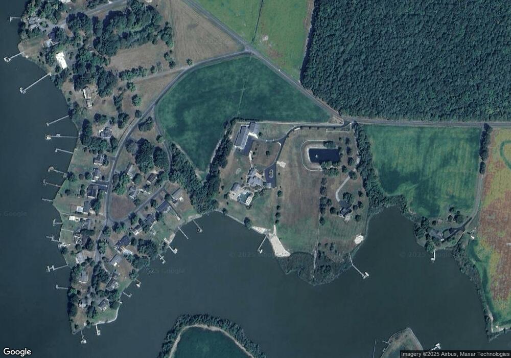
Map
Nearby Homes
- 0 Silver Goose Rd Unit Lot WP001
- 5210 Wilson Rd
- 2040 Dailsville Rd
- 4910 Gregory Rd
- 0 N S Dailsville Rd
- 2365 Church Creek Rd
- 2191 Winterberry Ln
- 2189 Winterberry Ln
- 2212 Winterberry Ln
- 1622 Town Point Rd
- 1701 Perseus Rd
- 5219 Heron Rd
- 2420 Cambridge Beltway
- 5223 Heron Rd
- 5214 Heron Rd
- 5216 Heron Rd
- 5229 Heron Rd
- 5226 Heron Rd
- 1529 Deep Water Rd
- 1609 Heliport Rd
- 0 Annie Ln Unit DO8240073
- 0 Annie Ln Unit DO9672764
- 5120 Paw Rd
- 5120 Paw Paw Rd
- 2019 Pig Neck Rd
- 5122 Paw Paw Rd
- 5121 Paw Paw Rd
- 5153 Paw Paw Rd
- 5124 Paw Paw Rd
- 5149 Paw Rd
- 5153 Paw Rd
- 5151 Paw Paw Rd
- 5151 Paw Rd
- 5149 Paw Paw Rd
- 5126 Paw Paw Rd
- 5128 Paw Rd
- 5128 Paw Acres
- 5128 Paw Paw Rd
- 5154 Paw Paw Rd
- 5154 Paw Paw Rd