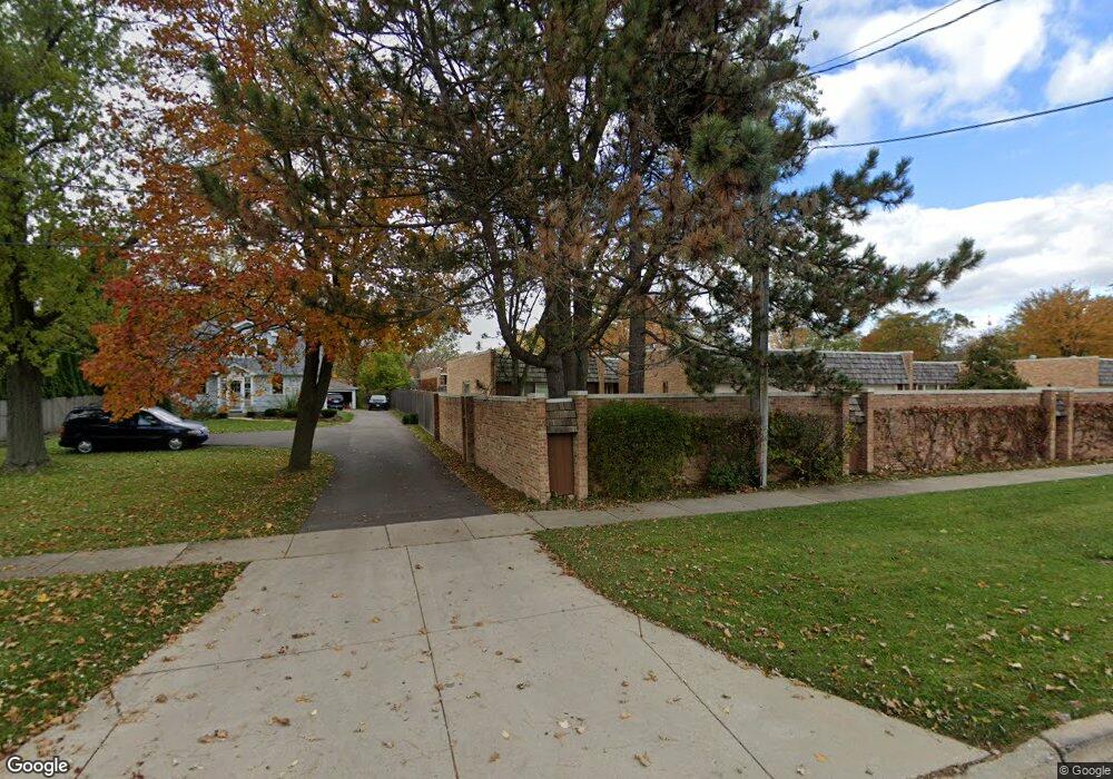
2015 Plymouth Ln Unit 84 Northbrook, IL 60062
Estimated Value: $394,000 - $656,000
2
Beds
3
Baths
3,201
Sq Ft
$150/Sq Ft
Est. Value
About This Home
This home is located at 2015 Plymouth Ln Unit 84, Northbrook, IL 60062 and is currently estimated at $480,015, approximately $149 per square foot. 2015 Plymouth Ln Unit 84 is a home located in Cook County with nearby schools including Wescott Elementary School, Maple School, and Glenbrook North High School.
Ownership History
Date
Name
Owned For
Owner Type
Purchase Details
Closed on
Jan 17, 2017
Sold by
Romey James Michael and Romey Janet Elizabeth
Bought by
Romey James M and Romey Janet
Current Estimated Value
Purchase Details
Closed on
Dec 3, 2014
Sold by
Smith Betty Lou
Bought by
Michael James and Romey Janet Elizabeth
Purchase Details
Closed on
Nov 13, 1997
Sold by
Smith Betty Lou
Bought by
Erickson David G
Create a Home Valuation Report for This Property
The Home Valuation Report is an in-depth analysis detailing your home's value as well as a comparison with similar homes in the area
Home Values in the Area
Average Home Value in this Area
Purchase History
| Date | Buyer | Sale Price | Title Company |
|---|---|---|---|
| Romey James M | -- | Attorney | |
| Michael James | $200,000 | Chicago Title Insurance Co | |
| Erickson David G | -- | -- |
Source: Public Records
Tax History Compared to Growth
Tax History
| Year | Tax Paid | Tax Assessment Tax Assessment Total Assessment is a certain percentage of the fair market value that is determined by local assessors to be the total taxable value of land and additions on the property. | Land | Improvement |
|---|---|---|---|---|
| 2024 | $5,729 | $30,206 | $7,287 | $22,919 |
| 2023 | $5,529 | $30,206 | $7,287 | $22,919 |
| 2022 | $5,529 | $30,206 | $7,287 | $22,919 |
| 2021 | $5,463 | $27,029 | $5,885 | $21,144 |
| 2020 | $5,514 | $27,029 | $5,885 | $21,144 |
| 2019 | $5,311 | $29,752 | $5,885 | $23,867 |
| 2018 | $2,759 | $17,489 | $5,185 | $12,304 |
| 2017 | $2,729 | $17,489 | $5,185 | $12,304 |
| 2016 | $3,224 | $17,489 | $5,185 | $12,304 |
| 2015 | $6,679 | $27,895 | $4,344 | $23,551 |
| 2014 | $5,913 | $27,895 | $4,344 | $23,551 |
| 2013 | $5,823 | $27,895 | $4,344 | $23,551 |
Source: Public Records
Map
Nearby Homes
- 1947 Summerton Place
- 1997 Kingsley Cir
- 1950 Farnsworth Ln Unit 202
- 2067 Butternut Ln
- 2117 Illinois Rd
- 2221 Illinois Rd
- 2005 Greenview Rd
- 2130 Mallard Dr
- 2411 Woodlawn Rd
- 1721 Elm Ave
- 2050 Valencia Dr Unit 405C
- 2378 Salceda Dr Unit 25B2378S
- 1412 Sycamore Ln
- 2425 El Cid Ln
- 3065 Lexington Ln Unit 17L41
- 1430 Voltz Rd
- 2409 Center Ave
- 2545 Salceda Dr Unit 5B2545S
- 2526 Essex Dr
- 2571 Essex Dr
- 2029 Plymouth Ln Unit 77
- 2009 Plymouth Ln Unit 83
- 2005 Plymouth Ln Unit 82
- 1912 Shermer Rd
- 2021 Plymouth Ln Unit 79
- 2025 Plymouth Ln Unit 78
- 2001 Plymouth Ln Unit 81
- 2017 Plymouth Ln Unit 80
- 1932 Shermer Rd
- 1929 Somerset Ln Unit 63
- 1925 Somerset Ln Unit 64
- 2049 Plymouth Ln Unit 71
- 1952 Shermer Rd
- 2041 Plymouth Ln Unit 73
- 2037 Plymouth Ln Unit 74
- 1921 Somerset Ln Unit 65
- 2000 Plymouth Ln Unit 1
- 2020 Plymouth Ln Unit 3
- 2020 Plymouth Ln Unit 2020
- 2010 Plymouth Ln Unit 2