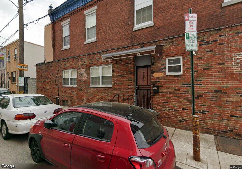
2015 S 13th St Philadelphia, PA 19148
East Passyunk NeighborhoodEstimated Value: $393,000 - $477,761
4
Beds
2
Baths
1,584
Sq Ft
$277/Sq Ft
Est. Value
About This Home
This home is located at 2015 S 13th St, Philadelphia, PA 19148 and is currently estimated at $438,940, approximately $277 per square foot. 2015 S 13th St is a home located in Philadelphia County with nearby schools including South Philadelphia High School, Southwark School, and Philadelphia Performing Arts Charter School.
Ownership History
Date
Name
Owned For
Owner Type
Purchase Details
Closed on
Jun 20, 2005
Sold by
Bellettirie Eileen and Estate Of Antoninette Matusews
Bought by
Hsia Tung Sui Ping and Hsia Yee Ye
Current Estimated Value
Home Financials for this Owner
Home Financials are based on the most recent Mortgage that was taken out on this home.
Original Mortgage
$135,000
Outstanding Balance
$70,251
Interest Rate
5.71%
Mortgage Type
Fannie Mae Freddie Mac
Estimated Equity
$368,689
Create a Home Valuation Report for This Property
The Home Valuation Report is an in-depth analysis detailing your home's value as well as a comparison with similar homes in the area
Home Values in the Area
Average Home Value in this Area
Purchase History
| Date | Buyer | Sale Price | Title Company |
|---|---|---|---|
| Hsia Tung Sui Ping | $180,000 | -- |
Source: Public Records
Mortgage History
| Date | Status | Borrower | Loan Amount |
|---|---|---|---|
| Open | Hsia Tung Sui Ping | $135,000 |
Source: Public Records
Tax History Compared to Growth
Tax History
| Year | Tax Paid | Tax Assessment Tax Assessment Total Assessment is a certain percentage of the fair market value that is determined by local assessors to be the total taxable value of land and additions on the property. | Land | Improvement |
|---|---|---|---|---|
| 2025 | $5,314 | $415,000 | $83,000 | $332,000 |
| 2024 | $5,314 | $415,000 | $83,000 | $332,000 |
| 2023 | $5,314 | $379,600 | $75,920 | $303,680 |
| 2022 | $4,541 | $379,600 | $75,920 | $303,680 |
| 2021 | $4,541 | $0 | $0 | $0 |
| 2020 | $4,541 | $0 | $0 | $0 |
| 2019 | $4,191 | $0 | $0 | $0 |
| 2018 | $3,194 | $0 | $0 | $0 |
| 2017 | $3,194 | $0 | $0 | $0 |
| 2016 | $3,194 | $0 | $0 | $0 |
| 2015 | $2,802 | $0 | $0 | $0 |
| 2014 | -- | $209,100 | $21,200 | $187,900 |
| 2012 | -- | $13,024 | $2,569 | $10,455 |
Source: Public Records
Map
Nearby Homes
- 1229 Emily St
- 1218 Mckean St
- 1154 Mercy St
- 1234 Snyder Ave
- 1133 Mercy St
- 1936 S Sartain St
- 1120 Emily St
- 1327 Snyder Ave
- 1912 S Sartain St
- 1105 Snyder Ave
- 1133 Winton St
- 1116 Cantrell St
- 1106 Cantrell St
- 1307 Mifflin St
- 1034 Mckean St
- 1037 Snyder Ave
- 1130 Jackson St
- 1031 Mercy St
- 1019 Snyder Ave
- 1142 Tree St