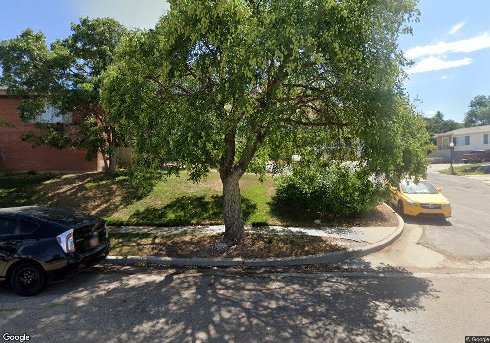
2015 S 2600 E Salt Lake City, UT 84108
Sugar House NeighborhoodEstimated Value: $793,000 - $998,000
4
Beds
3
Baths
2,689
Sq Ft
$326/Sq Ft
Est. Value
About This Home
This home is located at 2015 S 2600 E, Salt Lake City, UT 84108 and is currently estimated at $876,688, approximately $326 per square foot. 2015 S 2600 E is a home located in Salt Lake County with nearby schools including Beacon Heights School, Hillside Middle School, and Highland High School.
Ownership History
Date
Name
Owned For
Owner Type
Purchase Details
Closed on
Oct 13, 2023
Sold by
Green Richard L and Green Angela G
Bought by
Richard And Angela Green Living Trust and Green
Current Estimated Value
Purchase Details
Closed on
Aug 12, 2020
Sold by
Green Angela G and Green Richard L
Bought by
Green Richard L and Green Angela G
Home Financials for this Owner
Home Financials are based on the most recent Mortgage that was taken out on this home.
Original Mortgage
$363,000
Interest Rate
3%
Mortgage Type
New Conventional
Purchase Details
Closed on
Jun 19, 2017
Sold by
Prisbrey Karl M and The Blanche B Prisbrey Family
Bought by
Green Richard L and Green Angela G
Home Financials for this Owner
Home Financials are based on the most recent Mortgage that was taken out on this home.
Original Mortgage
$383,150
Interest Rate
4.02%
Mortgage Type
New Conventional
Create a Home Valuation Report for This Property
The Home Valuation Report is an in-depth analysis detailing your home's value as well as a comparison with similar homes in the area
Home Values in the Area
Average Home Value in this Area
Purchase History
| Date | Buyer | Sale Price | Title Company |
|---|---|---|---|
| Richard And Angela Green Living Trust | -- | None Listed On Document | |
| Green Richard L | -- | Capstone Title And Escrow | |
| Green Richard L | -- | Meridian Title |
Source: Public Records
Mortgage History
| Date | Status | Borrower | Loan Amount |
|---|---|---|---|
| Previous Owner | Green Richard L | $363,000 | |
| Previous Owner | Green Richard L | $383,150 |
Source: Public Records
Tax History Compared to Growth
Tax History
| Year | Tax Paid | Tax Assessment Tax Assessment Total Assessment is a certain percentage of the fair market value that is determined by local assessors to be the total taxable value of land and additions on the property. | Land | Improvement |
|---|---|---|---|---|
| 2025 | $3,289 | $683,400 | $244,600 | $438,800 |
| 2024 | $3,289 | $627,600 | $233,400 | $394,200 |
| 2023 | $3,216 | $591,500 | $224,500 | $367,000 |
| 2022 | $3,160 | $545,200 | $220,000 | $325,200 |
| 2021 | $2,850 | $445,300 | $178,700 | $266,600 |
| 2020 | $2,858 | $425,000 | $167,000 | $258,000 |
| 2019 | $2,945 | $412,000 | $139,100 | $272,900 |
| 2018 | $2,932 | $399,400 | $139,100 | $260,300 |
| 2017 | $2,703 | $345,000 | $136,300 | $208,700 |
| 2016 | $2,790 | $338,100 | $136,300 | $201,800 |
| 2015 | $2,253 | $258,800 | $140,400 | $118,400 |
| 2014 | $2,149 | $244,900 | $140,400 | $104,500 |
Source: Public Records
Map
Nearby Homes
- 1908 S 2600 E
- 2505 E Elm Ave
- 1881 Foothill Dr
- 1940 S 2500 E
- 2108 Scenic Dr E
- 2200 S Wasatch Dr
- 2119 King St
- 1825 S 2600 E
- 2109 S Texas St
- 1802 S Wasatch Dr
- 1800 S Devonshire Dr Unit 8
- 1769 S Foothill Dr
- 2665 Parleys Way Unit 111
- 2261 E Redondo Ave S
- 2157 S Dallin St
- 2662 E Comanche Dr
- 2532 Maywood Dr
- 2244 Lakeline Cir
- 2093 S Lakeline Dr
- 2253 Lakeline Cir
- 2013 S 2600 E
- 2607 E 2100 S
- 2014 Foothill Dr
- 2603 E 2100 S
- 2003 S 2600 E
- 2617 E 2100 S
- 1991 Laurelhurst Dr Unit 1993
- 1991 S Laurelhurst Dr
- 2030 S Foothill Dr
- 2030 Foothill Dr
- 2024 S 2600 E
- 2004 S 2600 E
- 1996 S Broadmoor St
- 1996 Broadmoor St
- 1981 S 2600 E
- 2606 E 2100 S
- 2616 E 2100 S
- 2600 E 2100 S
- 2576 Redondo Ave
- 1988 Broadmoor St
