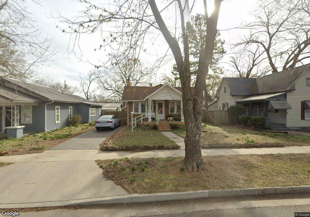
2015 S Harlem Ave Joplin, MO 64804
Blendville South NeighborhoodEstimated Value: $134,814 - $160,000
3
Beds
1
Bath
1,400
Sq Ft
$105/Sq Ft
Est. Value
About This Home
This home is located at 2015 S Harlem Ave, Joplin, MO 64804 and is currently estimated at $147,204, approximately $105 per square foot. 2015 S Harlem Ave is a home located in Jasper County with nearby schools including Cecil Floyd Elementary School, North Middle School, and Joplin High School.
Ownership History
Date
Name
Owned For
Owner Type
Purchase Details
Closed on
Dec 28, 2009
Sold by
Musser Wayne and Musser Robbie
Bought by
Johnson Teresa S and Johnson Mark E
Current Estimated Value
Home Financials for this Owner
Home Financials are based on the most recent Mortgage that was taken out on this home.
Original Mortgage
$65,295
Outstanding Balance
$42,586
Interest Rate
4.82%
Mortgage Type
FHA
Estimated Equity
$104,618
Purchase Details
Closed on
Mar 19, 2008
Sold by
Denny Kelly L and Denny Mike
Bought by
Musser Wayne and Musser Robbie
Create a Home Valuation Report for This Property
The Home Valuation Report is an in-depth analysis detailing your home's value as well as a comparison with similar homes in the area
Home Values in the Area
Average Home Value in this Area
Purchase History
| Date | Buyer | Sale Price | Title Company |
|---|---|---|---|
| Johnson Teresa S | -- | Jct | |
| Musser Wayne | -- | Fatco |
Source: Public Records
Mortgage History
| Date | Status | Borrower | Loan Amount |
|---|---|---|---|
| Open | Johnson Teresa S | $65,295 |
Source: Public Records
Tax History Compared to Growth
Tax History
| Year | Tax Paid | Tax Assessment Tax Assessment Total Assessment is a certain percentage of the fair market value that is determined by local assessors to be the total taxable value of land and additions on the property. | Land | Improvement |
|---|---|---|---|---|
| 2024 | $625 | $13,550 | $1,210 | $12,340 |
| 2023 | $625 | $13,550 | $1,210 | $12,340 |
| 2022 | $610 | $13,260 | $1,210 | $12,050 |
| 2021 | $606 | $13,260 | $1,210 | $12,050 |
| 2020 | $569 | $12,190 | $1,210 | $10,980 |
| 2019 | $571 | $12,190 | $1,210 | $10,980 |
| 2018 | $555 | $11,900 | $0 | $0 |
| 2017 | $557 | $11,900 | $0 | $0 |
| 2016 | $547 | $11,850 | $0 | $0 |
| 2015 | $547 | $11,850 | $0 | $0 |
| 2014 | $547 | $11,850 | $0 | $0 |
Source: Public Records
Map
Nearby Homes
- 2108 S Harlem Ave
- 2021 S Porter Ave
- 2123 S Porter Ave
- 1417 W 20th St
- 2201 Annie Baxter Ave
- 1815 S Empire Ave
- 1730 Annie Baxter Ave
- 1720 S Harlem Ave
- 1805 S Empire Ave
- 1916 S Murphy Ave
- 2306 S Picher Ave
- 2406 Annie Baxter Ave
- 1816 S Murphy Ave
- 2026 Bird Ave
- 2028 Bird Ave
- 2118 Bird Ave
- 1906 Bird Ave
- 2115 Bird Ave
- 2216 & 1/2 S Connor Ave
- 819 S 819 1 2 Connor Ave
- 2007 S Harlem Ave
- 2017 S Harlem Ave
- 2021 S Harlem Ave Unit 2025
- 2005 S Harlem Ave
- 2005 S Harlem Ave Unit 1
- 2020 1/2 S Porter Ave
- 2025 S Harlem Ave
- 2010 S Porter Ave
- 2018 S Porter Ave
- 2014 S Porter Ave
- 2006 S Harlem Ave
- 2006 S Porter Ave
- 2016 S Harlem Ave
- 2020 S Porter Ave
- 2010 S Harlem Ave
- 2020 S Harlem Ave
- 2029 S Harlem Ave
- 2026 S Porter Ave
- 2022 S Harlem Ave
- 1923 S Harlem Ave