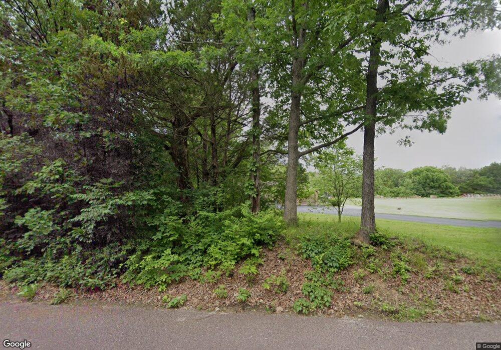
2015 S Mangan Rd Pacific, MO 63069
Estimated Value: $383,000 - $463,000
3
Beds
--
Bath
1,456
Sq Ft
$280/Sq Ft
Est. Value
About This Home
This home is located at 2015 S Mangan Rd, Pacific, MO 63069 and is currently estimated at $407,493, approximately $279 per square foot. 2015 S Mangan Rd is a home located in Jefferson County with nearby schools including Pacific High School and St Bridget Elementary School.
Ownership History
Date
Name
Owned For
Owner Type
Purchase Details
Closed on
Jan 29, 2010
Sold by
Wells Fargo Bank National Association
Bought by
Nicol Matthew R and Nicol Ami N
Current Estimated Value
Home Financials for this Owner
Home Financials are based on the most recent Mortgage that was taken out on this home.
Original Mortgage
$194,900
Outstanding Balance
$128,805
Interest Rate
5.08%
Mortgage Type
New Conventional
Estimated Equity
$278,688
Create a Home Valuation Report for This Property
The Home Valuation Report is an in-depth analysis detailing your home's value as well as a comparison with similar homes in the area
Purchase History
| Date | Buyer | Sale Price | Title Company |
|---|---|---|---|
| Nicol Matthew R | -- | Insight Title |
Source: Public Records
Mortgage History
| Date | Status | Borrower | Loan Amount |
|---|---|---|---|
| Open | Nicol Matthew R | $194,900 |
Source: Public Records
Tax History
| Year | Tax Paid | Tax Assessment Tax Assessment Total Assessment is a certain percentage of the fair market value that is determined by local assessors to be the total taxable value of land and additions on the property. | Land | Improvement |
|---|---|---|---|---|
| 2025 | $2,903 | $42,600 | $2,900 | $39,700 |
| 2024 | $2,903 | $39,200 | $2,900 | $36,300 |
| 2023 | $2,903 | $39,200 | $2,900 | $36,300 |
| 2022 | $2,659 | $39,200 | $2,900 | $36,300 |
| 2021 | $2,648 | $39,200 | $2,900 | $36,300 |
| 2020 | $2,392 | $35,400 | $2,900 | $32,500 |
| 2019 | $2,391 | $35,400 | $2,900 | $32,500 |
| 2018 | $2,432 | $35,400 | $2,900 | $32,500 |
| 2016 | $2,116 | $32,500 | $2,900 | $29,600 |
Source: Public Records
Map
Nearby Homes
- 0 N Lakeshore Dr
- 1802 Deer Run Trail
- 1833 Opeechee Beach Rd
- O McNamee Rd
- 416 Parkview Ln
- 0 Venus Ln
- 1695 Wade Rd
- 1414 Timber Valley Ct
- S Denton Rd
- 3858 Ronnie Ln
- 3958 Highway Nn
- 1985 Heritage Farms Dr
- 1808 Westlake Ct
- 1745 Lake Meade Dr
- 707 S Hawthorne Dr
- 1632 Westlake Cir
- 502 S 3rd St
- 1501 Cypress Dr
- 1505 Cypress Dr
- 1796 Meade Ct
- 2002 S Mangan Rd
- 7118 Windy Valley Ln
- 0 Meaghan Ln
- 0 Grimm Ln
- 1944 S Mangan Rd
- 2040 S Mangan Rd
- 2041 S Mangan Rd
- 2009 Grimm Ln
- 1430 Timber Valley Ct
- 1422 Timber Valley Ct
- 2121 S Mangan Rd
- 2021 Grimm Ln
- 1945 S Mangan Rd
- 2063 Meaghan Ln
- 1950 S Mangan Rd
- 187 Chipmonk Ct
- 186 Chipmonk 196 Ct
- 186196 Chipmonk Ct
- 9993 Campfire Dr
- 9995 Campfire Dr
Your Personal Tour Guide
Ask me questions while you tour the home.
