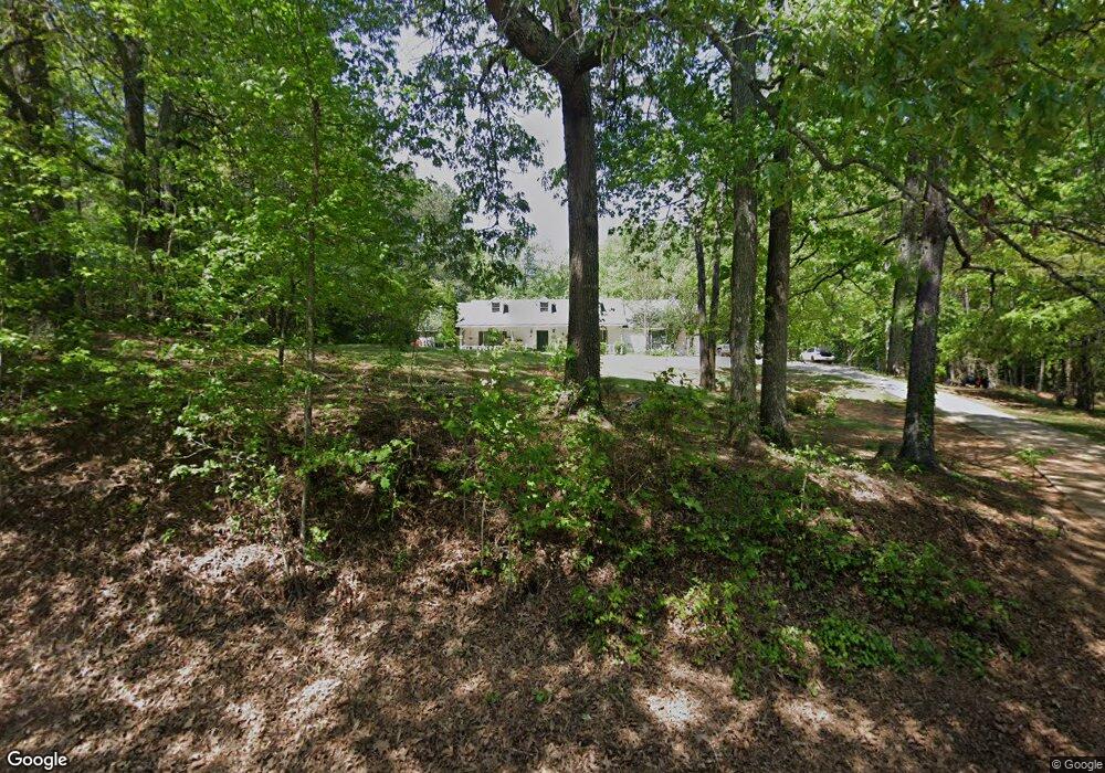
2015 Steele Rd Griffin, GA 30223
Spalding County NeighborhoodEstimated Value: $218,373 - $288,000
Studio
2
Baths
1,803
Sq Ft
$146/Sq Ft
Est. Value
About This Home
This home is located at 2015 Steele Rd, Griffin, GA 30223 and is currently estimated at $263,593, approximately $146 per square foot. 2015 Steele Rd is a home located in Spalding County with nearby schools including Beaverbrook Elementary School, Cowan Road Middle School, and Griffin High School.
Ownership History
Date
Name
Owned For
Owner Type
Purchase Details
Closed on
Dec 28, 1999
Sold by
Gossett James E
Bought by
Lummus Jimmy L and Lummus Deborah D
Current Estimated Value
Home Financials for this Owner
Home Financials are based on the most recent Mortgage that was taken out on this home.
Original Mortgage
$93,075
Outstanding Balance
$38,477
Interest Rate
10.3%
Mortgage Type
New Conventional
Estimated Equity
$225,116
Purchase Details
Closed on
Aug 4, 1998
Sold by
Phelps Cheryl M
Bought by
Gossett James E
Home Financials for this Owner
Home Financials are based on the most recent Mortgage that was taken out on this home.
Original Mortgage
$97,850
Interest Rate
6.96%
Mortgage Type
New Conventional
Purchase Details
Closed on
Nov 30, 1990
Sold by
Mobley Lewis W
Bought by
Mobley Lewis W
Create a Home Valuation Report for This Property
The Home Valuation Report is an in-depth analysis detailing your home's value as well as a comparison with similar homes in the area
Home Values in the Area
Average Home Value in this Area
Purchase History
| Date | Buyer | Sale Price | Title Company |
|---|---|---|---|
| Lummus Jimmy L | $109,500 | -- | |
| Gossett James E | $97,900 | -- | |
| Mobley Lewis W | -- | -- |
Source: Public Records
Mortgage History
| Date | Status | Borrower | Loan Amount |
|---|---|---|---|
| Open | Lummus Jimmy L | $93,075 | |
| Previous Owner | Gossett James E | $97,850 |
Source: Public Records
Tax History
| Year | Tax Paid | Tax Assessment Tax Assessment Total Assessment is a certain percentage of the fair market value that is determined by local assessors to be the total taxable value of land and additions on the property. | Land | Improvement |
|---|---|---|---|---|
| 2025 | $1,564 | $63,180 | $8,400 | $54,780 |
| 2024 | $1,553 | $63,180 | $8,400 | $54,780 |
| 2023 | $749 | $58,268 | $8,400 | $49,868 |
| 2022 | $718 | $49,381 | $6,600 | $42,781 |
| 2021 | $1,436 | $41,288 | $6,600 | $34,688 |
| 2020 | $1,441 | $41,288 | $6,600 | $34,688 |
| 2019 | $1,470 | $41,288 | $6,600 | $34,688 |
| 2018 | $1,385 | $38,057 | $6,600 | $31,457 |
| 2017 | $1,348 | $38,057 | $6,600 | $31,457 |
| 2016 | $1,372 | $38,057 | $6,600 | $31,457 |
| 2015 | $1,414 | $38,057 | $6,600 | $31,457 |
| 2014 | $1,442 | $38,057 | $6,600 | $31,457 |
Source: Public Records
Map
Nearby Homes
- 166 Evans Rd
- 725 County Line Church Rd
- 103 Hammond Rd
- 224 Galway Ln
- 736 Tullamore Way
- 2987 Steele Rd
- 216 Galway Ln
- 306 Field Rd
- 109 Leianne Dr
- 1690 Patterson Rd
- 156 Galway Ln
- 0 Elder Rd Unit 25075151
- 0 Elder Rd Unit 10619475
- 110 Fannin Rd
- 1100 Stiles Crossing
- 1102 Stiles Crossing
- 94 Galway Ln
- 565 Sidney Dr
- 180 Davidson Dr
- 466 & 472 Minter Dr
- 2107 Steele Rd
- 19015 Wildwood Rd
- 18035 Wildwood Rd
- 2113 Steele Rd
- 18029 Wildwood Rd
- 2115 Steele Rd
- 2098 Steele Rd
- 18040 Wildwood Rd
- 2116 Steele Rd
- 2114 Steele Rd
- 18036 Wildwood Rd
- 18020 Wildwood Rd
- 18009 Wildwood Rd
- 2126 Steele Rd
- 2080 Steele Rd
- 2010 Steele Rd
- 18010 Wildwood Rd
- 132 S Honey Bear Dr
- 122 S Honey Bear Dr
- 2012 Steele Rd