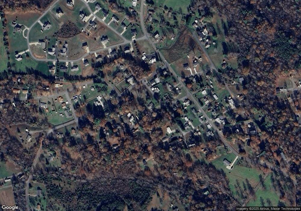
2015 Sunnyside Dr Morganton, NC 28655
Estimated Value: $211,000 - $287,000
4
Beds
2
Baths
2,341
Sq Ft
$110/Sq Ft
Est. Value
About This Home
This home is located at 2015 Sunnyside Dr, Morganton, NC 28655 and is currently estimated at $257,022, approximately $109 per square foot. 2015 Sunnyside Dr is a home located in Burke County with nearby schools including Mull Elementary School, Liberty Middle School, and Robert L. Patton High School.
Ownership History
Date
Name
Owned For
Owner Type
Purchase Details
Closed on
Mar 11, 2021
Sold by
Puett Donnie and Estate Of Harriett Puett
Bought by
Puett Donnie and Bowers Shamika Dionne
Current Estimated Value
Purchase Details
Closed on
Aug 9, 2019
Sold by
Cooper Frank
Bought by
Puett Harriett
Home Financials for this Owner
Home Financials are based on the most recent Mortgage that was taken out on this home.
Original Mortgage
$91,189
Interest Rate
3.7%
Mortgage Type
New Conventional
Purchase Details
Closed on
Aug 19, 2014
Sold by
Mcgalliard Carol
Bought by
Cooper Frank
Create a Home Valuation Report for This Property
The Home Valuation Report is an in-depth analysis detailing your home's value as well as a comparison with similar homes in the area
Home Values in the Area
Average Home Value in this Area
Purchase History
| Date | Buyer | Sale Price | Title Company |
|---|---|---|---|
| Puett Donnie | -- | None Available | |
| Puett Harriett | $120,000 | None Available | |
| Cooper Frank | -- | None Available |
Source: Public Records
Mortgage History
| Date | Status | Borrower | Loan Amount |
|---|---|---|---|
| Previous Owner | Puett Harriett | $91,189 |
Source: Public Records
Tax History Compared to Growth
Tax History
| Year | Tax Paid | Tax Assessment Tax Assessment Total Assessment is a certain percentage of the fair market value that is determined by local assessors to be the total taxable value of land and additions on the property. | Land | Improvement |
|---|---|---|---|---|
| 2025 | $1,232 | $174,012 | $16,276 | $157,736 |
| 2024 | $1,187 | $174,012 | $16,276 | $157,736 |
| 2023 | $1,187 | $174,012 | $16,276 | $157,736 |
| 2022 | $1,028 | $118,989 | $8,577 | $110,412 |
| 2021 | $986 | $118,989 | $8,577 | $110,412 |
| 2020 | $990 | $120,044 | $8,577 | $111,467 |
| 2019 | $1,007 | $122,203 | $8,577 | $113,626 |
| 2018 | $971 | $117,529 | $8,577 | $108,952 |
| 2017 | $969 | $117,529 | $8,577 | $108,952 |
| 2016 | $941 | $117,529 | $8,577 | $108,952 |
| 2015 | $940 | $117,883 | $8,577 | $109,306 |
| 2014 | $939 | $117,883 | $8,577 | $109,306 |
| 2013 | $939 | $117,883 | $8,577 | $109,306 |
Source: Public Records
Map
Nearby Homes
- 2374 Genes Loop
- 2553 Genes Loop
- 1376 Old Nc 18 Unit 1380
- 1030 Enola Rd
- 602 Enola Rd
- 2646 Mount Home Church Rd
- 805 Old Nc 18 Hwy
- 0 Creekwood Dr
- 416 Pete Brittain Rd
- 2341 Enola Rd
- 3659 Nc Highway 18 None S
- 5031 Nunley Knolls
- VL Blvd
- 1173 Coffey Way
- 4620 Montclaire Ave
- 4247 Burkemont Rd
- 4305 Burkemont Rd
- 3515 High Peak Valley
- 107 Dale Cir
- 206 Beacon Ave
- 2000 Sunnyside Dr
- 2042 Skyland Dr
- 1989 Sunnyside Dr
- 2035 Sunnyside Dr
- 4237 Browning St
- 4278 Browning St
- 2014 Skyland Dr
- 2034 Sunnyside Dr
- 2060 Skyland Dr
- 1971 Sunnyside Dr
- 1580 Old Nc 18
- 2041 Skyland Dr
- 1566 Old Nc 18
- 1594 Old Nc 18
- 4299 Browning St
- 2072 Skyland Dr
- 2051 Skyland Dr
- 2121 Autumn Ln
- 1998 Skyland Dr
- 1606 Old Nc 18
