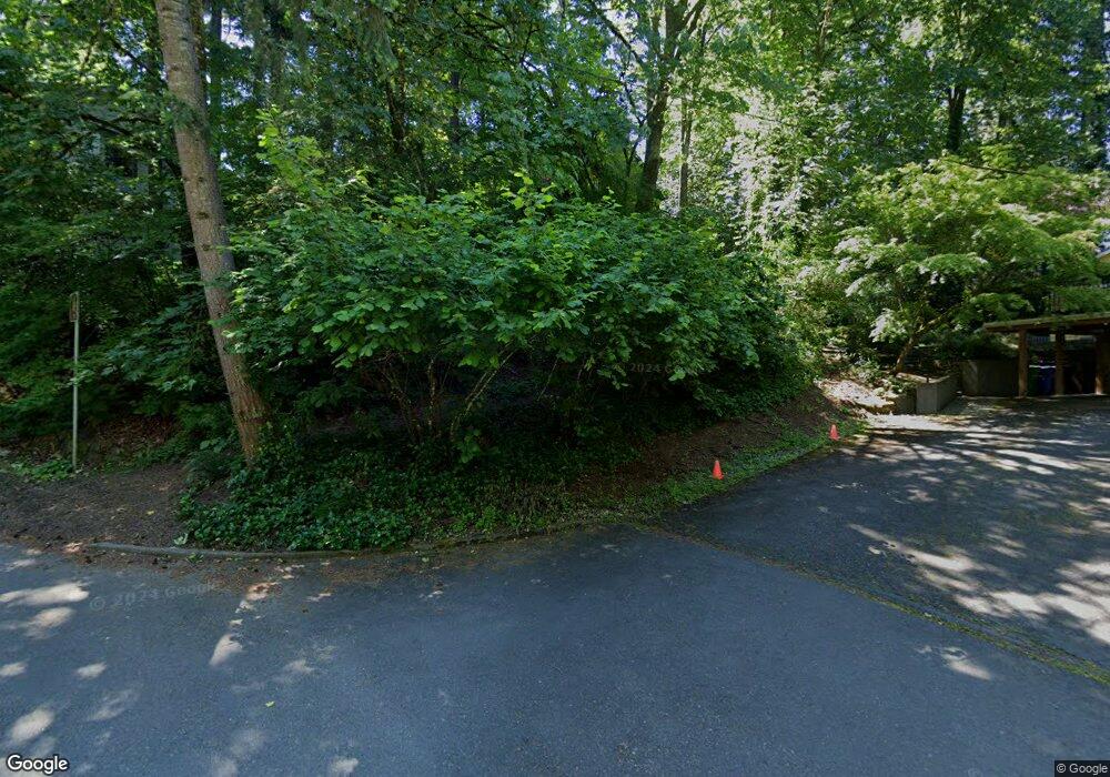
2015 SW Pendleton St Portland, OR 97239
Hillsdale NeighborhoodEstimated Value: $834,000 - $1,004,000
4
Beds
3
Baths
2,200
Sq Ft
$427/Sq Ft
Est. Value
About This Home
This home is located at 2015 SW Pendleton St, Portland, OR 97239 and is currently estimated at $938,924, approximately $426 per square foot. 2015 SW Pendleton St is a home located in Multnomah County with nearby schools including Rieke Elementary School, Robert Gray Middle School, and Ida B. Wells-Barnett High School.
Ownership History
Date
Name
Owned For
Owner Type
Purchase Details
Closed on
Oct 6, 1995
Sold by
Schons Greg B
Bought by
Casey Patrick D and Casey Laura J
Current Estimated Value
Home Financials for this Owner
Home Financials are based on the most recent Mortgage that was taken out on this home.
Original Mortgage
$150,000
Outstanding Balance
$1,085
Interest Rate
7.92%
Mortgage Type
Purchase Money Mortgage
Estimated Equity
$937,839
Create a Home Valuation Report for This Property
The Home Valuation Report is an in-depth analysis detailing your home's value as well as a comparison with similar homes in the area
Home Values in the Area
Average Home Value in this Area
Purchase History
| Date | Buyer | Sale Price | Title Company |
|---|---|---|---|
| Casey Patrick D | $262,500 | Stewart Title |
Source: Public Records
Mortgage History
| Date | Status | Borrower | Loan Amount |
|---|---|---|---|
| Open | Casey Patrick D | $150,000 |
Source: Public Records
Tax History Compared to Growth
Tax History
| Year | Tax Paid | Tax Assessment Tax Assessment Total Assessment is a certain percentage of the fair market value that is determined by local assessors to be the total taxable value of land and additions on the property. | Land | Improvement |
|---|---|---|---|---|
| 2024 | $13,393 | $501,050 | -- | -- |
| 2023 | $12,878 | $486,460 | $0 | $0 |
| 2022 | $12,600 | $472,300 | $0 | $0 |
| 2021 | $12,387 | $458,550 | $0 | $0 |
| 2020 | $11,362 | $445,200 | $0 | $0 |
| 2019 | $10,945 | $432,240 | $0 | $0 |
| 2018 | $10,623 | $419,660 | $0 | $0 |
| 2017 | $10,181 | $407,440 | $0 | $0 |
| 2016 | $9,317 | $395,580 | $0 | $0 |
| 2015 | $9,072 | $384,060 | $0 | $0 |
| 2014 | $8,810 | $372,880 | $0 | $0 |
Source: Public Records
Map
Nearby Homes
- 6020 SW 18th Dr
- 6008 SW 18th Dr
- 6026 SW 18th Dr
- 6022 SW 18th Dr
- 2345 SW Dewitt St
- 1508 SW Dewitt St
- 0 SW 25th Ave Unit 2 685565814
- 1525 SW Martha St
- 6205 SW 25th Ave
- 6220 SW Capitol Hwy Unit 7
- 2245 SW Martha St
- 2418 SW Nebraska St
- 0 SW Westwood Ct
- 6835 SW Capitol Hill Rd Unit 36
- 1125 SW Westwood Ct
- 6254 SW Burlingame Ave Unit A
- 992 SW Westwood Dr
- 2634 SW Mitchell Ct
- 2824 SW Illinois St
- 991 SW Westwood Dr
- 2020 SW Kanan St
- 1925 SW Pendleton St
- 0 SW Kanan St
- 2110 SW Kanan St
- 1903 SW Pendleton St
- 2001 SW Kanan St
- 1918 SW Pendleton St
- 5907 SW 21st Ave
- 2021 SW Kanan St
- 1900 SW Kanan St
- 1906 SW Pendleton St
- 1821 SW Pendleton St
- 2007 SW Dewitt St
- 2005 SW Dewitt St
- 2033 SW Kanan St
- 5927 SW 21st Ave
- 2150 SW Sunset Dr
- 1826 SW Pendleton St
- 1901 SW Kanan St
- 2015 SW Kanan St
