Estimated Value: $425,000
3
Beds
2
Baths
1,461
Sq Ft
$291/Sq Ft
Est. Value
About This Home
This home is located at 2015 Thoni Rd, Addy, WA 99101 and is currently estimated at $425,000, approximately $290 per square foot. 2015 Thoni Rd is a home located in Stevens County with nearby schools including Gess Elementary School and Jenkins Junior/Senior High School.
Ownership History
Date
Name
Owned For
Owner Type
Purchase Details
Closed on
Mar 2, 2005
Sold by
Brewer Nikki Ray and Brewer Marilyn R
Bought by
Stavenik Lubo George
Current Estimated Value
Home Financials for this Owner
Home Financials are based on the most recent Mortgage that was taken out on this home.
Original Mortgage
$171,000
Interest Rate
5.66%
Mortgage Type
Purchase Money Mortgage
Create a Home Valuation Report for This Property
The Home Valuation Report is an in-depth analysis detailing your home's value as well as a comparison with similar homes in the area
Purchase History
| Date | Buyer | Sale Price | Title Company |
|---|---|---|---|
| Stavenik Lubo George | $190,000 | Stevens County Title Company |
Source: Public Records
Mortgage History
| Date | Status | Borrower | Loan Amount |
|---|---|---|---|
| Closed | Stavenik Lubo George | $171,000 |
Source: Public Records
Tax History
| Year | Tax Paid | Tax Assessment Tax Assessment Total Assessment is a certain percentage of the fair market value that is determined by local assessors to be the total taxable value of land and additions on the property. | Land | Improvement |
|---|---|---|---|---|
| 2025 | $540 | $263,084 | $3,241 | $259,843 |
| 2024 | $540 | $257,564 | $3,279 | $254,285 |
| 2023 | $365 | $264,353 | $2,160 | $262,193 |
| 2022 | $388 | $270,684 | $28,000 | $242,684 |
| 2021 | $423 | $234,524 | $2,141 | $232,383 |
| 2020 | $427 | $234,524 | $2,141 | $232,383 |
| 2019 | $1,121 | $224,135 | $2,122 | $222,013 |
| 2018 | $1,766 | $267,230 | $72,403 | $194,827 |
| 2017 | $1,631 | $169,048 | $2,103 | $166,945 |
| 2016 | $1,547 | $169,029 | $2,084 | $166,945 |
| 2015 | $790 | $168,991 | $2,046 | $166,945 |
| 2013 | -- | $168,970 | $2,025 | $166,945 |
Source: Public Records
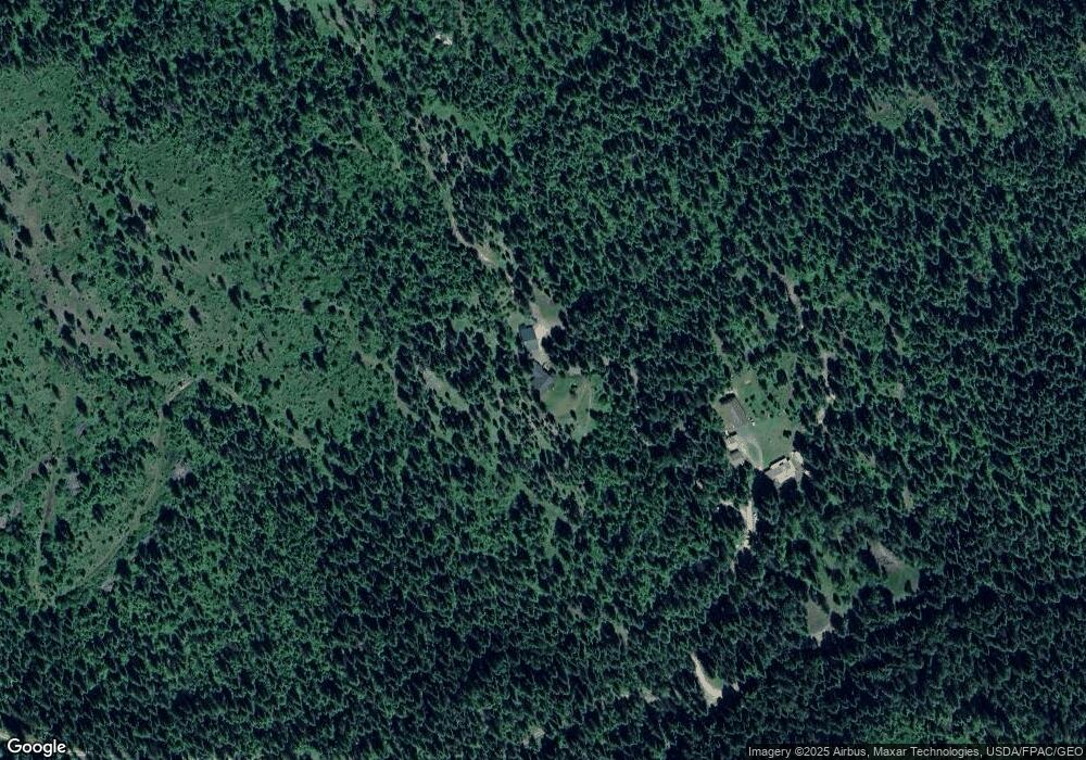
Map
Nearby Homes
- TBD Addy- Gifford Ridge
- 1733 Old Cc Rd
- 2313 Hickey Way
- 1733 Old Addy Rd
- 1053 Haller Creek Rd
- 1539 Matson Rd
- 2024 Summit Valley Q Rd
- 1041 Ward Way
- 917B Philpott Rd
- TBD Addy-Gifford Rd
- 13XX S Hwy 395 Hwy
- 2558 Grimm Rd
- 1895 Tbd Blue Creek Road Rd
- 1895 Tbd Blue Creek Rd
- 696D Arden Hill Rd
- 696 Arden Hill Rd
- 1071 Slide Creek Rd
- 1071 Slide Creek Rd Unit A
- 686 Old Arden Highway Lot #24 Rd
- 686 Old Arden Hwy Unit 4
- 2015 Thoni Way
- 2004 Thoni Way
- 1995 Thoni Way
- 2004 Dunn Mountain Way
- 1986 Dunn Mountain Way
- 1970 Dunn Mountain Way
- 1988 Dunn Mountain Way
- 1966 Dunn Mountain Way
- 0 Thoni Rd
- 0 Thoni Rd
- 000 Thoni Rd
- 1958 Dunn Mountain Way
- 0 Dunn Mountain Way
- 82 acres Dunn Mountain Way
- Lot# 11 Dunn Mountain Way
- Lot #6 Dunn Mountain Way
- Lot #5 Dunn Mountain Way
- Lot #3 Dunn Mountain Way
- Lot #1 Dunn Mountain Way
- XXX Dunns Mountain Way
Your Personal Tour Guide
Ask me questions while you tour the home.