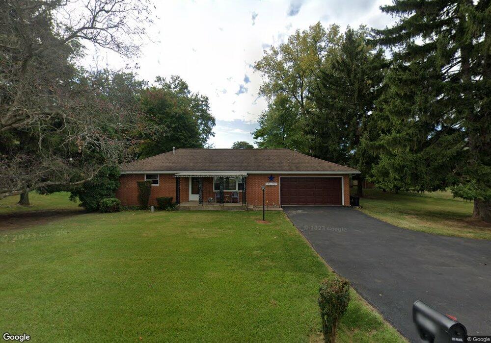
2015 Villa Rd Springfield, OH 45503
Estimated Value: $189,000 - $210,000
2
Beds
1
Bath
1,040
Sq Ft
$190/Sq Ft
Est. Value
About This Home
This home is located at 2015 Villa Rd, Springfield, OH 45503 and is currently estimated at $198,023, approximately $190 per square foot. 2015 Villa Rd is a home located in Clark County with nearby schools including Northridge Elementary School, Kenton Ridge Middle & High School, and Emmanuel Christian Academy.
Ownership History
Date
Name
Owned For
Owner Type
Purchase Details
Closed on
Jun 21, 1994
Sold by
Runyan Gerald A
Bought by
Massie Darrell G and Massie Sally I
Current Estimated Value
Home Financials for this Owner
Home Financials are based on the most recent Mortgage that was taken out on this home.
Original Mortgage
$62,600
Interest Rate
8.58%
Mortgage Type
New Conventional
Purchase Details
Closed on
Mar 24, 1994
Create a Home Valuation Report for This Property
The Home Valuation Report is an in-depth analysis detailing your home's value as well as a comparison with similar homes in the area
Home Values in the Area
Average Home Value in this Area
Purchase History
| Date | Buyer | Sale Price | Title Company |
|---|---|---|---|
| Massie Darrell G | $65,900 | -- | |
| -- | -- | -- |
Source: Public Records
Mortgage History
| Date | Status | Borrower | Loan Amount |
|---|---|---|---|
| Closed | Massie Darrell G | $62,600 |
Source: Public Records
Tax History
| Year | Tax Paid | Tax Assessment Tax Assessment Total Assessment is a certain percentage of the fair market value that is determined by local assessors to be the total taxable value of land and additions on the property. | Land | Improvement |
|---|---|---|---|---|
| 2025 | $1,667 | $57,890 | $16,010 | $41,880 |
| 2024 | $1,639 | $47,920 | $12,420 | $35,500 |
| 2023 | $1,639 | $47,920 | $12,420 | $35,500 |
| 2022 | $1,663 | $47,920 | $12,420 | $35,500 |
| 2021 | $1,529 | $39,280 | $10,180 | $29,100 |
| 2020 | $1,530 | $39,280 | $10,180 | $29,100 |
| 2019 | $1,559 | $39,280 | $10,180 | $29,100 |
| 2018 | $1,349 | $34,090 | $9,430 | $24,660 |
| 2017 | $1,156 | $34,087 | $9,426 | $24,661 |
| 2016 | $1,148 | $34,087 | $9,426 | $24,661 |
| 2015 | $1,085 | $31,830 | $9,426 | $22,404 |
| 2014 | $1,085 | $31,830 | $9,426 | $22,404 |
| 2013 | $1,060 | $31,830 | $9,426 | $22,404 |
Source: Public Records
Map
Nearby Homes
- 2861 Ashlar Dr
- 3126 Lakeview Ct Unit 3126
- 2022 Westboro Ave
- 2332 Villa Rd
- 3300 Revels St
- 3214 Revels St
- 1948 Falmouth Ave
- 1924 Marinette Dr
- 1711 Pinehurst Dr
- 1831 Pinehurst Dr Unit 37
- 1507 Kingsgate Rd
- 2529 Marinette Dr
- 1505 Kingsgate Rd
- 1503 Kingsgate Rd
- 3631 Kingsgate Ln
- 1500 Kingsgate Rd
- 1502 Kingsgate Rd
- 1500 Kingsgate Rd Unit 19430
- 1502 Kingsgate Rd Unit 19432
- 1509 Kingsgate Rd
- 2033 Villa Rd
- 2966 Middle Urbana Rd
- 2962 Middle Urbana Rd
- 2975 Middle Urbana Rd
- 2101 Villa Rd
- 2948 Middle Urbana Rd
- 2961 Middle Urbana Rd
- 2931 Caldwell St
- 2111 Villa Rd
- 2210 Neon St
- 2210 Neon Ct
- 2009 Spring Meadow Dr
- 2009 Spring Meadow Dr
- 2148 Amarillo Ave
- 2136 Amarillo Ave
- 2921 Caldwell St
- 2160 Amarillo Ave
- 2222 Neon St
- 2124 Amarillo Ave
- 2172 Amarillo Ave
Your Personal Tour Guide
Ask me questions while you tour the home.