2015 W Bowling Ave Taylorsville, UT 84129
Estimated Value: $490,000 - $518,928
2
Beds
2
Baths
2,580
Sq Ft
$194/Sq Ft
Est. Value
About This Home
This home is located at 2015 W Bowling Ave, Taylorsville, UT 84129 and is currently estimated at $500,982, approximately $194 per square foot. 2015 W Bowling Ave is a home located in Salt Lake County with nearby schools including Taylorsville Elementary School, Eisenhower Jr High School, and Taylorsville High School.
Ownership History
Date
Name
Owned For
Owner Type
Purchase Details
Closed on
Sep 14, 2015
Sold by
Turnquist Stanley G and Turnquist Mary Louise
Bought by
Neto Brittani L and Neto Archibong U
Current Estimated Value
Home Financials for this Owner
Home Financials are based on the most recent Mortgage that was taken out on this home.
Original Mortgage
$225,735
Outstanding Balance
$180,210
Interest Rate
4.4%
Mortgage Type
FHA
Estimated Equity
$320,772
Create a Home Valuation Report for This Property
The Home Valuation Report is an in-depth analysis detailing your home's value as well as a comparison with similar homes in the area
Home Values in the Area
Average Home Value in this Area
Purchase History
| Date | Buyer | Sale Price | Title Company |
|---|---|---|---|
| Neto Brittani L | -- | Aspen Title Ins Agency |
Source: Public Records
Mortgage History
| Date | Status | Borrower | Loan Amount |
|---|---|---|---|
| Open | Neto Brittani L | $225,735 |
Source: Public Records
Tax History Compared to Growth
Tax History
| Year | Tax Paid | Tax Assessment Tax Assessment Total Assessment is a certain percentage of the fair market value that is determined by local assessors to be the total taxable value of land and additions on the property. | Land | Improvement |
|---|---|---|---|---|
| 2025 | $2,770 | $477,300 | $140,400 | $336,900 |
| 2024 | $2,770 | $454,200 | $133,600 | $320,600 |
| 2023 | $2,515 | $404,600 | $128,500 | $276,100 |
| 2022 | $2,561 | $415,600 | $126,000 | $289,600 |
| 2021 | $2,346 | $331,500 | $96,900 | $234,600 |
| 2020 | $2,252 | $301,200 | $96,900 | $204,300 |
| 2019 | $2,197 | $286,900 | $86,300 | $200,600 |
| 2018 | $2,194 | $276,200 | $86,300 | $189,900 |
| 2017 | $1,931 | $255,500 | $86,300 | $169,200 |
| 2016 | $1,662 | $219,800 | $86,300 | $133,500 |
| 2015 | $1,095 | $183,700 | $83,000 | $100,700 |
| 2014 | -- | $175,900 | $80,300 | $95,600 |
Source: Public Records
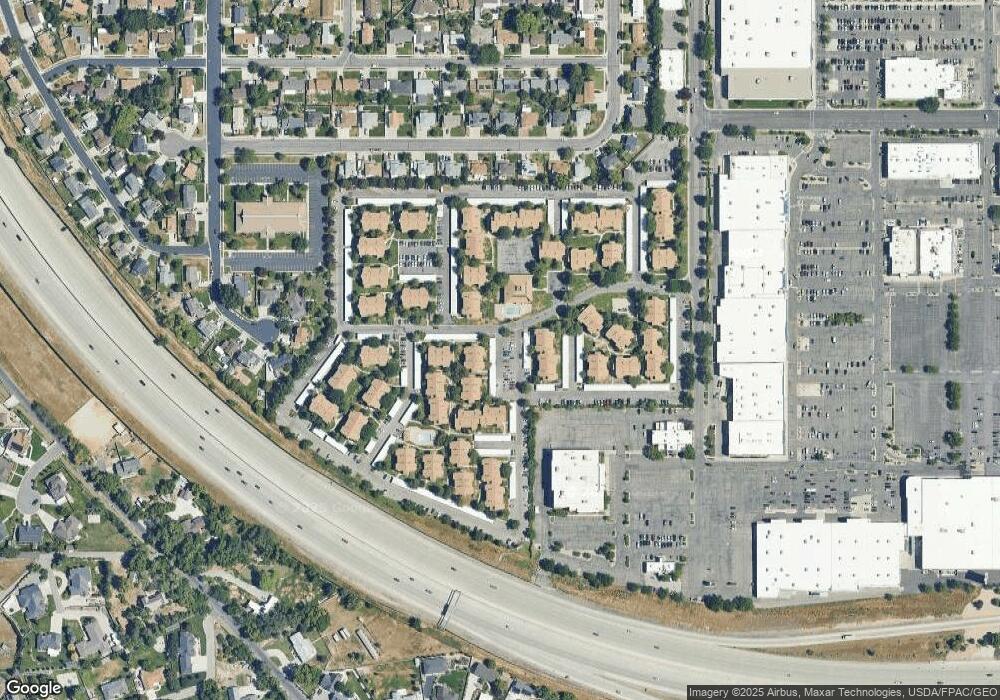
Map
Nearby Homes
- 4631 S 1980 W
- 1904 W 4840 S
- 4533 S Knightsbridge Rd
- 4497 S Edgeware Ln
- 2306 Bonniebrook Cir
- 1901 Kirkham Way
- 2218 W Mackay Ln
- 4292 El Camino St
- 1998 Theckston Rd
- 4257 S Morris St
- 2267 W 4240 S
- 4545 S Thornwood Ave
- 2752 Santex Cir
- 2717 W Redwick Ct
- 4255 S Redwood Rd W
- 1475 W 4950 S
- 2767 W Lacewood Dr Unit T-149
- 2318 W 4220 S
- 4482 S Stonington Way
- 1762 Mantle Ave
- 2015 Bowling Ave
- 4635 S 2030 W
- 1997 Bowling Ave
- 1997 W Bowling Ave
- 1997 W Bowling Ave
- 2016 W Bowling Ave
- 2016 W Bowling Ave
- 2016 Bowling Ave
- 4645 S 2030 W
- 2045 Bowling Ave
- 2000 Bowling Ave
- 2032 W Bowling Ave
- 2032 Bowling Ave
- 4634 S 2030 W
- 4646 S 1980 W
- 1986 Bowling Ave
- 2048 W Bowling Ave
- 2048 Bowling Ave
- 4644 S 2030 W
- 4653 S 2030 W