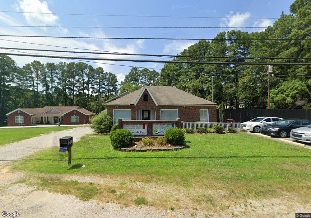
2015 W C St Unit NULL Kannapolis, NC 28081
Estimated Value: $343,774
Studio
--
Bath
1,661
Sq Ft
$207/Sq Ft
Est. Value
About This Home
This home is located at 2015 W C St Unit NULL, Kannapolis, NC 28081 and is currently estimated at $343,774, approximately $206 per square foot. 2015 W C St Unit NULL is a home located in Rowan County with nearby schools including Landis Elementary School, Corriher Lipe Middle School, and South Rowan High School.
Ownership History
Date
Name
Owned For
Owner Type
Purchase Details
Closed on
Apr 1, 2021
Sold by
Perry & Perry Properties Llc
Bought by
Ram Enterprises Llc
Current Estimated Value
Home Financials for this Owner
Home Financials are based on the most recent Mortgage that was taken out on this home.
Original Mortgage
$175,500
Outstanding Balance
$157,941
Interest Rate
2.8%
Mortgage Type
Purchase Money Mortgage
Estimated Equity
$185,833
Purchase Details
Closed on
Dec 18, 2012
Sold by
Sylvia Rupar Inc
Bought by
Perry And Perry Properties Llc
Create a Home Valuation Report for This Property
The Home Valuation Report is an in-depth analysis detailing your home's value as well as a comparison with similar homes in the area
Home Values in the Area
Average Home Value in this Area
Purchase History
| Date | Buyer | Sale Price | Title Company |
|---|---|---|---|
| Ram Enterprises Llc | $234,000 | None Available | |
| Perry And Perry Properties Llc | $19,000 | None Available |
Source: Public Records
Mortgage History
| Date | Status | Borrower | Loan Amount |
|---|---|---|---|
| Open | Ram Enterprises Llc | $175,500 |
Source: Public Records
Tax History
| Year | Tax Paid | Tax Assessment Tax Assessment Total Assessment is a certain percentage of the fair market value that is determined by local assessors to be the total taxable value of land and additions on the property. | Land | Improvement |
|---|---|---|---|---|
| 2025 | $1,669 | $252,940 | $100,000 | $152,940 |
| 2024 | $1,669 | $252,940 | $100,000 | $152,940 |
| 2023 | $1,669 | $252,940 | $100,000 | $152,940 |
| 2022 | $1,638 | $222,094 | $92,500 | $129,594 |
| 2021 | $1,638 | $222,094 | $92,500 | $129,594 |
| 2020 | $1,638 | $222,094 | $92,500 | $129,594 |
| 2019 | $1,638 | $222,094 | $92,500 | $129,594 |
| 2018 | $1,370 | $187,296 | $92,500 | $94,796 |
| 2017 | $1,370 | $187,296 | $92,500 | $94,796 |
| 2016 | $1,351 | $187,296 | $92,500 | $94,796 |
| 2015 | $1,373 | $187,296 | $92,500 | $94,796 |
| 2014 | $777 | $107,949 | $37,500 | $70,449 |
Source: Public Records
Map
Nearby Homes
- 1814 W C St
- 1809 W C St
- 113 Hilton Ave
- 411 Brentwood Cir
- 0000 Buffalo St
- 1530 Buffalo St
- 1526 Buffalo St
- 2218 Woodcrest Dr
- 0 W C St Unit 2 CAR4255761
- 0 W C St Unit CAR4255556
- 117 S Enochville Ave
- 0 Pump Station Rd
- 115 Northcrest Dr
- 103 Westover Ave
- 1224 Pump Station Rd
- 1225 W C St
- 6124 Avalon Dr
- 110 Franklin Ave
- 6621 Charlie Walker Rd
- 500 Echo Ave
Your Personal Tour Guide
Ask me questions while you tour the home.